Firm snow
25th February 2025
The headline at the moment is one of firm snow in the high coires. Coire an t-Sneachda and Coire an Lochain were correspondingly busy today with parties climbing the gullies on good quality snow ice in the cooler temperatures.
Inevitably the greatest amounts of existing snow are found on North-West through North to East aspects, in locations such as coire headwalls and gully lines above 900 metres. Below this altitude cover is patchy and many of the coire floors are bare of snow cover.
The flip slide to the good firm snow condition for climbing and mountaineering, is that an icy snow surface may present serious consequences in the event of an uncontrolled fall or slide. Prudence in ones progression is recommended.
Tomorrow, little change is expected with a generally dry day, and cool temperatures. Some snow accumulation was observed today close to the coire rim, although this appears well bonded to the underlying older snowpack. Although this has been deposited by the wind, it is moist and quickly consolidating, such than on balance it might be erronous to refer to it as windslab.
The images linked to below indicate how these accumulations appear in the landscape. The contrast is adjusted in the second image, with accumulations marked with red arrows. Link [opens in a new window]: https://cdn.knightlab.com/libs/juxtapose/latest/embed/index.html?uid=e5a3f1a2-f38e-11ef-9397-d93975fe8866
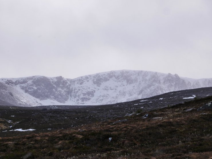
Coire an t-Sneachda. Note the slightly hazy appearance in the coire, due to light snow showers.
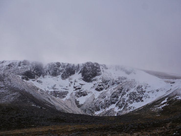
Coire an Lochain. Today’s snow profile site was located on the far right extremity of the image.

Looking up to the crags in Coire an Lochain, again shallow snow accumulations can be seen on the “Great Slab”, the crag apron in the centre of the image. These are serious slopes to negotiate in firm snow, the seriousness of which is augmented at the moment by exposed rock slabs and icefalls rather than a run out of soft snow.
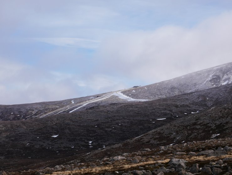
Looking across to the Cairngorm Ski Area and the Ptarmigan.

A quick view of a simplistic hasty pit today at around 1000 metres. This consisted of just two layers. 20cm of pencil hard wind blown snow, which exhibits a stabilising trend and, 45cm of melt-freeze, snow that has thawed and refrozen. In summary, unremarkable, and despite two visibility different snow types, the interface is well bonded.
Comments on this post
Got something to say? Leave a comment


