A gradual return to winter
13th March 2025
There has been a gradual return to winter in the last 24 hours as snow depths have become more extensive on the high plateau areas. What appeared to be largely superficial accumulations yesterday have become more widespread.
Visibility was generally poor, with a few images snapped in the better clear spells.
Intense showers are likely to create a period of drifting and windslab accumulation overnight. Isolated deposits are likely to exhibit weaknesses, although these are expected to dissipate later as the snow consolidates due to solar radiation on southerly aspects. The Avalanche Hazard will be Moderate.
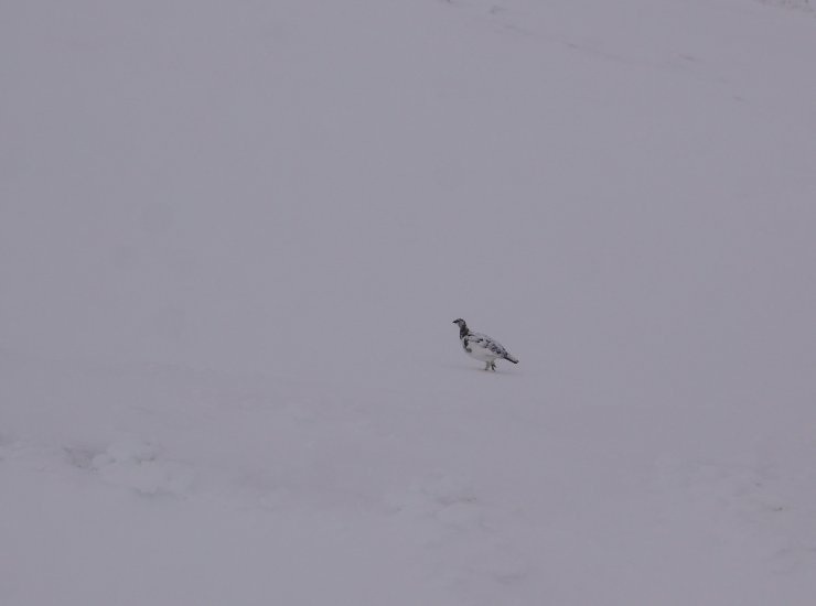
Ptarmigan on the south side of Cairngorm.
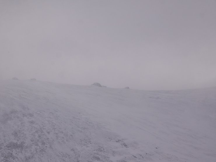
The granite tors of Benin Meadhoin seen in a brief clear spell from Stac an Fharaidh.
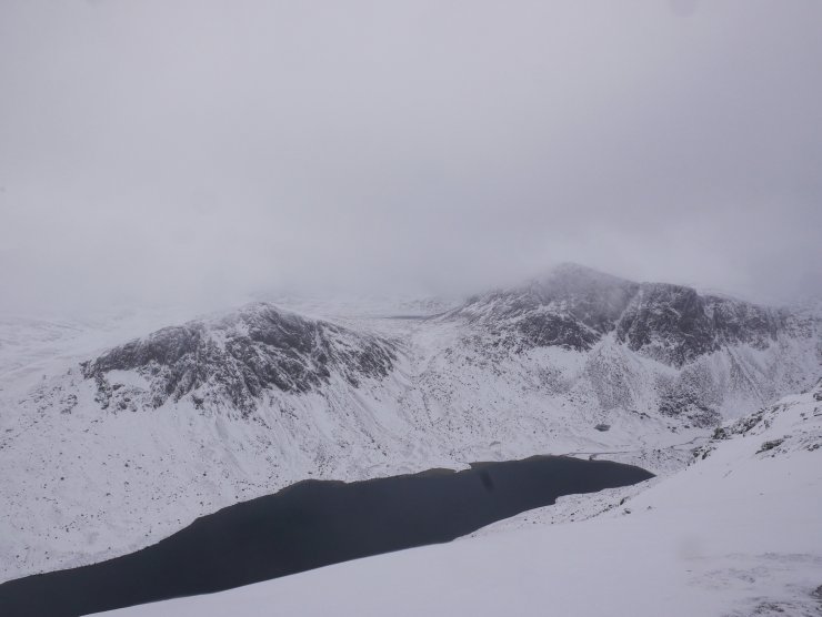
Stacan Dubha (left) and Caen Etchachan (right) above Loch Avon.

The edge of Stag Rocks (centre-right) in the foreground. Demonstrating the isolated snow accumulation on the edge of the plateau areas.
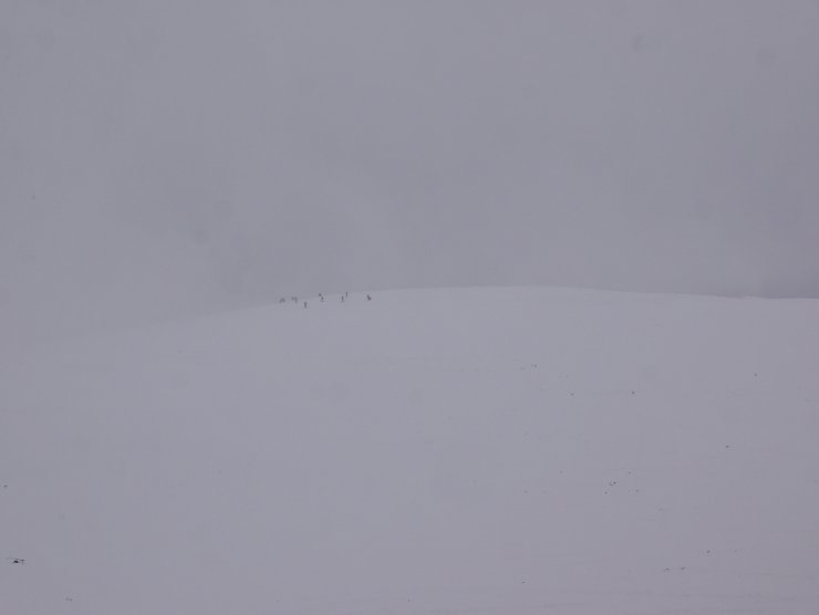
The next Warren Miller ski movie shooting on the south side of Cairn Gorm…
Comments on this post
Got something to say? Leave a comment


Daniel Duerden
19th March 2025 9:06 pm
Thank you for your posts. Especially the photos. I’m living vicariously through you.