Now for something completely different…
9th March 2025
A warm and sunny day in the Northern Cairngorms with lots of teams walking, rock climbing and mountain biking on the plateau.
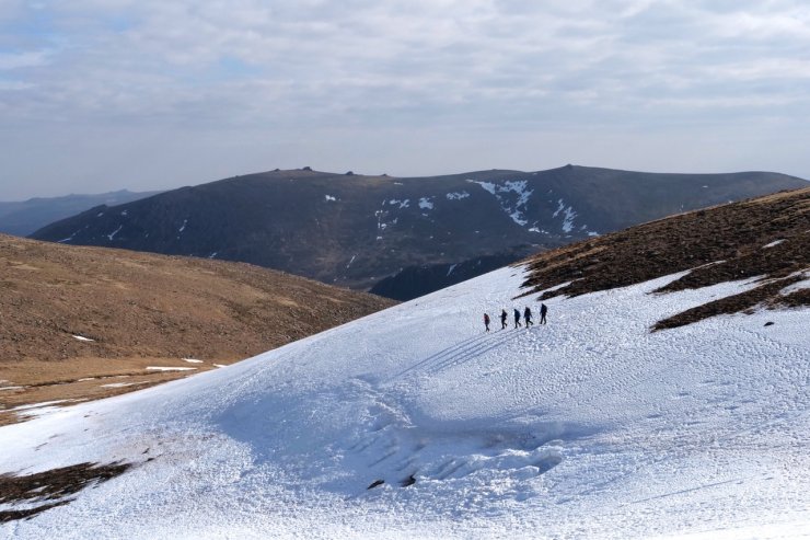
Despite the warm temperatures the dwindling snow patches remained firm, with only the surface layer softening in the sunshine. These snow patches are confined now to North-West through North to East aspects mostly above 1000 metres. Most of the patches are avoidable, with the steeper ones requiring a careful approach as the runouts below are very serious.
Tomorrow, winter will return!
A cold front is forecast to track from the North across Scotland during the night bringing cold air and quite a lot of snow. The freezing level is expected to lower during the night and the daytime finishing around 600 metres tomorrow evening, with the possibility of snow as low as 400 metres later in the day. The older snow patches will become re-frozen and hard, icy in places. The heaviest snow fall will happen during the night and early morning and be accompanied with Gale force North-Easterly winds. The Met Office are forecasting a wind chill on the summit of Cairngorm of -14°C.
A significant amount of this new snow will be re-distributed by the wind with fresh windslab developing in steep wind sheltered locations on South to West aspects above 900 metres. Other slopes and aspects will also be affected due to cross loading and local wind variations.
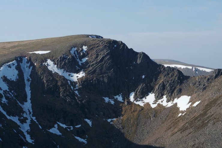
Fiacaill Buttress, Coire an t-Sneachda
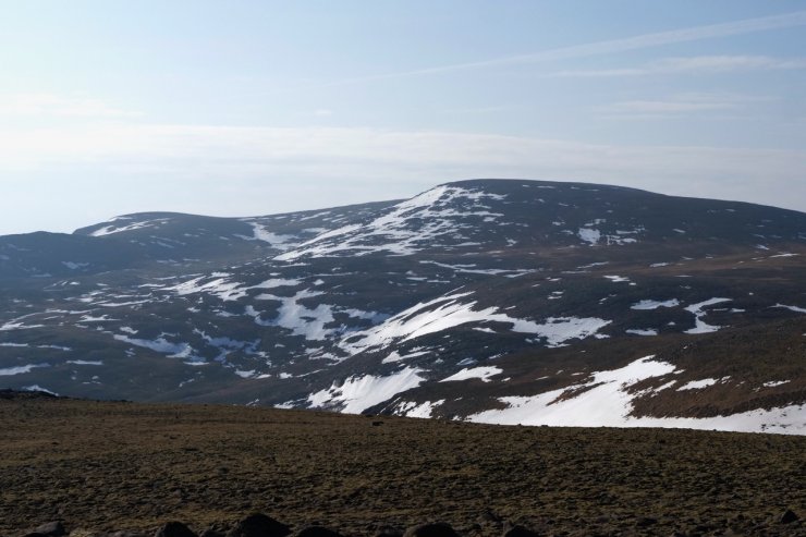
A view across Coire Domain to Ben Macdui 1309 metres.

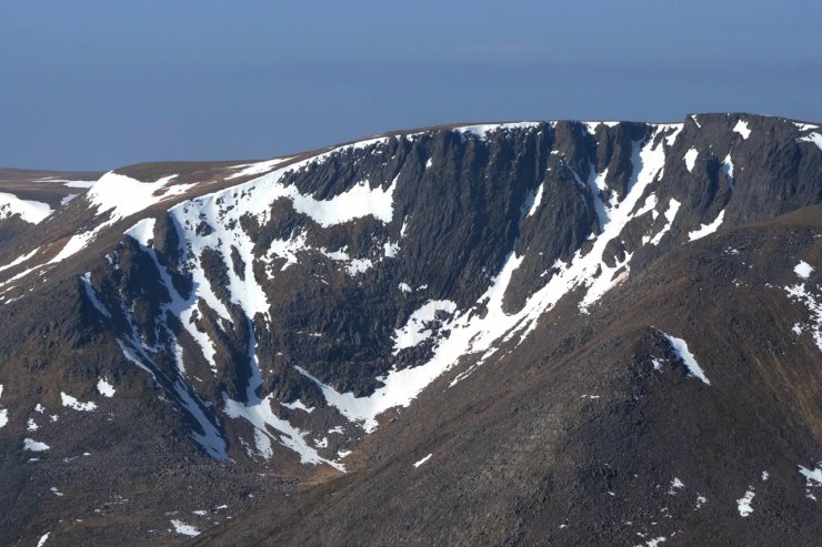
Sgor an Lochan Uaine (The Angel’s Peak) 1258 metres. The aforementioned lochan still has ice on the surface.
Coire Bhrochain on the East side of Braeriach 1298 metres
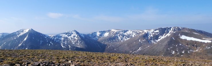
Cairn Toul 1291m to Braeriach 1298m.
A group cramponing around Coire Domhain with Beinn Mheadhoin 1182 metres in the background.
Comments on this post
Got something to say? Leave a comment