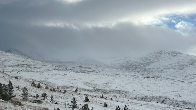
More Wintry – Blizzards and Whiteouts on the tops!
21st November 2024
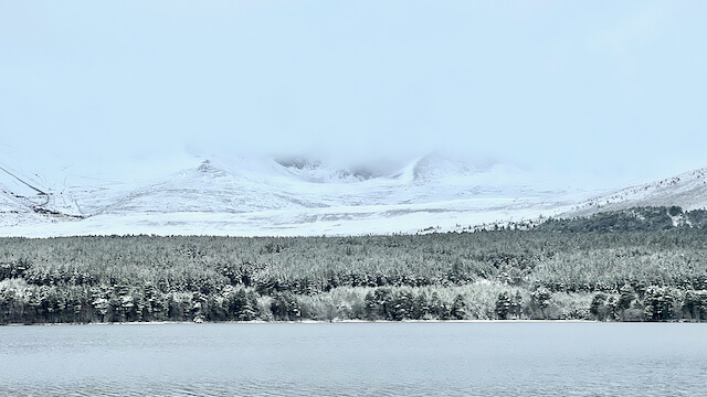
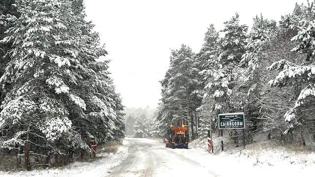
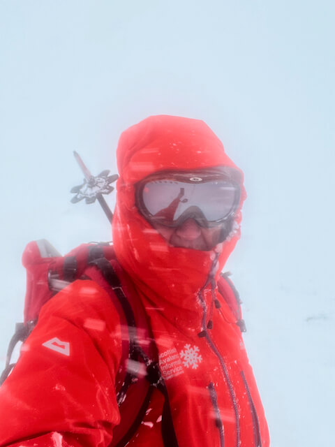
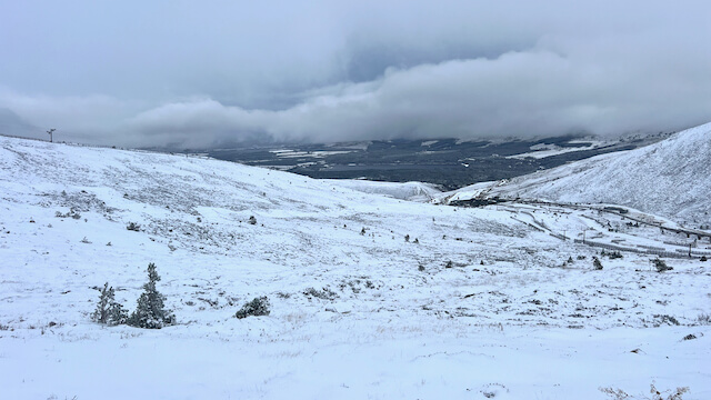
Gradually increasing snow amounts due to showers arriving from the North. Still a thin cover on Northerly slopes and aspects. Deeper accumulations on east to southerly aspects mostly above 1000m where its knee deep in hollows and places where the snow is has drifted and is largely unconsolidated. Stronger winds in the day (around 30mph on tops ) has produced some really weak windslab in places – its ok where its shallow but in steep places or convex rolls on East to South aspects above 900m it is likely to release with human activity.! A first taste of blizzards and whiteouts on the tops sharpened my navigation today!!
Comments on this post
Got something to say? Leave a comment
