Clear and Cold becoming Windier
21st November 2025
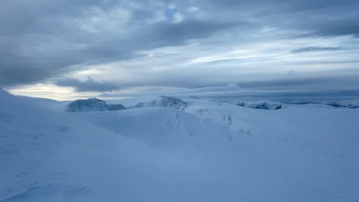
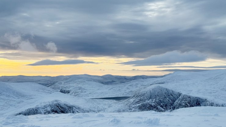
Looking across the Northern Corrie’s from Cairngorm
A clear start to the day provided a good opportunity to determine snow cover and distribution in the Cairngorms. Generally snow cover is shallow, 25cm or so lying on bare ground, so no real foundation yet. At higher elevations above 900m on NE through E to SE aspects snow cover is deeper with some reasonable snow areas.
Re snowpack instabilities and windslab, there are many areas of this, with the snowpack generally unstable throughout. The snowpack exhibits a generally weak structure with significant weak layers present which can easily fail with triggers! however these trigger places are confined to steep ( around 35 deg) wind sheltered places such as gully tops and convex terrain and can mostly be avoided, leaving extensive and secure snowfields of uniform and lower angle slopes for those on ski.
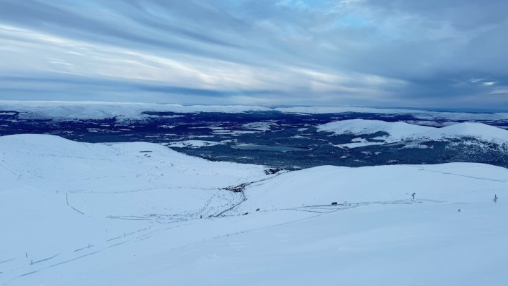
looking North with the lower slopes of Cairngorm Mountain resort and the Spey Valley beyond.
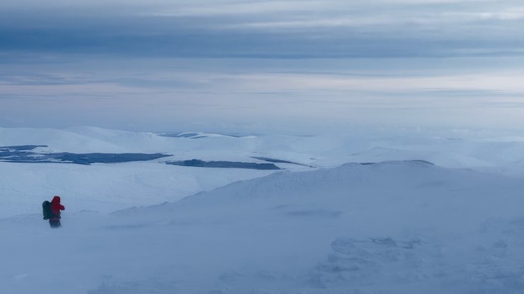
Wind picking up with drifting snow on Cairngorm.
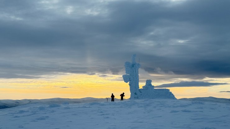
Morning light and Cairngorm weather station.
Looking South to Carn Etchachan
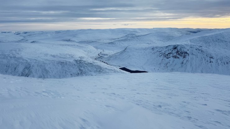
Looking down the SE slopes of Cairngorm to Loch Avon
Comments on this post
Got something to say? Leave a comment


