Storm Force winds proceed Storm Chandra
26th January 2026
Gale force winds today proceeded Storm Chandra. We can expect storm force winds tomorrow, with snow falling throughout the forecast period from around 500 metres upwards. It was an extremely challenging day in the mountains with high winds and blizzard conditions. If considering heading into the mountains tomorrow do check the Southern Cairngorms Avalanche Report as well as Northern Cairngorms.
Greater amounts of snow are expected further south. However, snowfall doesn’t respect SAIS area boundaries and we may get heavier showers penetrating beyond the plateau into the Northern Coires of Cairn Gorm. The avalanche hazard will be Considerable.
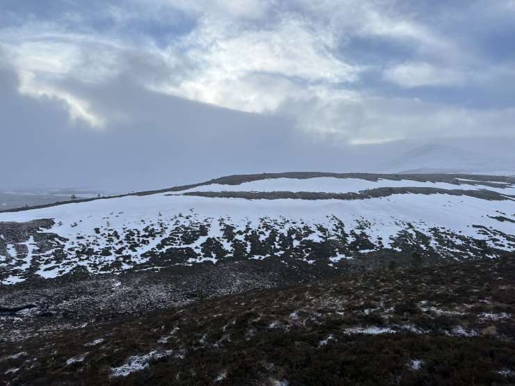
A historical slab avalanche, thought to have release around the 17th January. This is on the banks of the Alt Mor at around 550 metres. The crown wall may be difficult to see in this image. But it runs from left to right along the full length of the image. Avalanche debris may be visible on the left and the right.
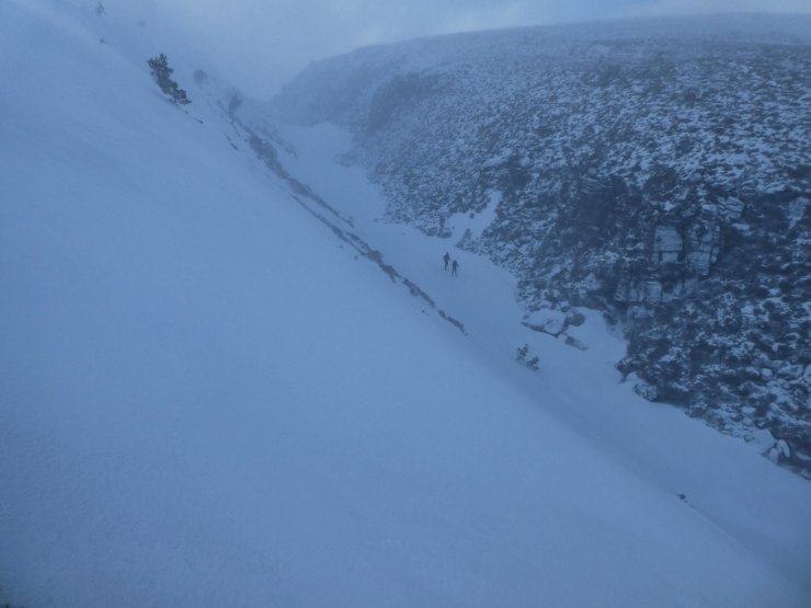
The narrow Chalamain Gap. These two hill runners giving some scale to the narrow gully. Relatively firm and stable snow today means limited exposure to hazard, but this is an example of a terrain trap. An area best avoided in conditions with unstable snow. These slopes on the left were accumulating deposits of windslab today, which will most likely become more widespread in the next 24-48 hours, as we anticipate heavy drifting down to lower elevations.
Comments on this post
Got something to say? Leave a comment