Cooler temperatures
27th February 2026
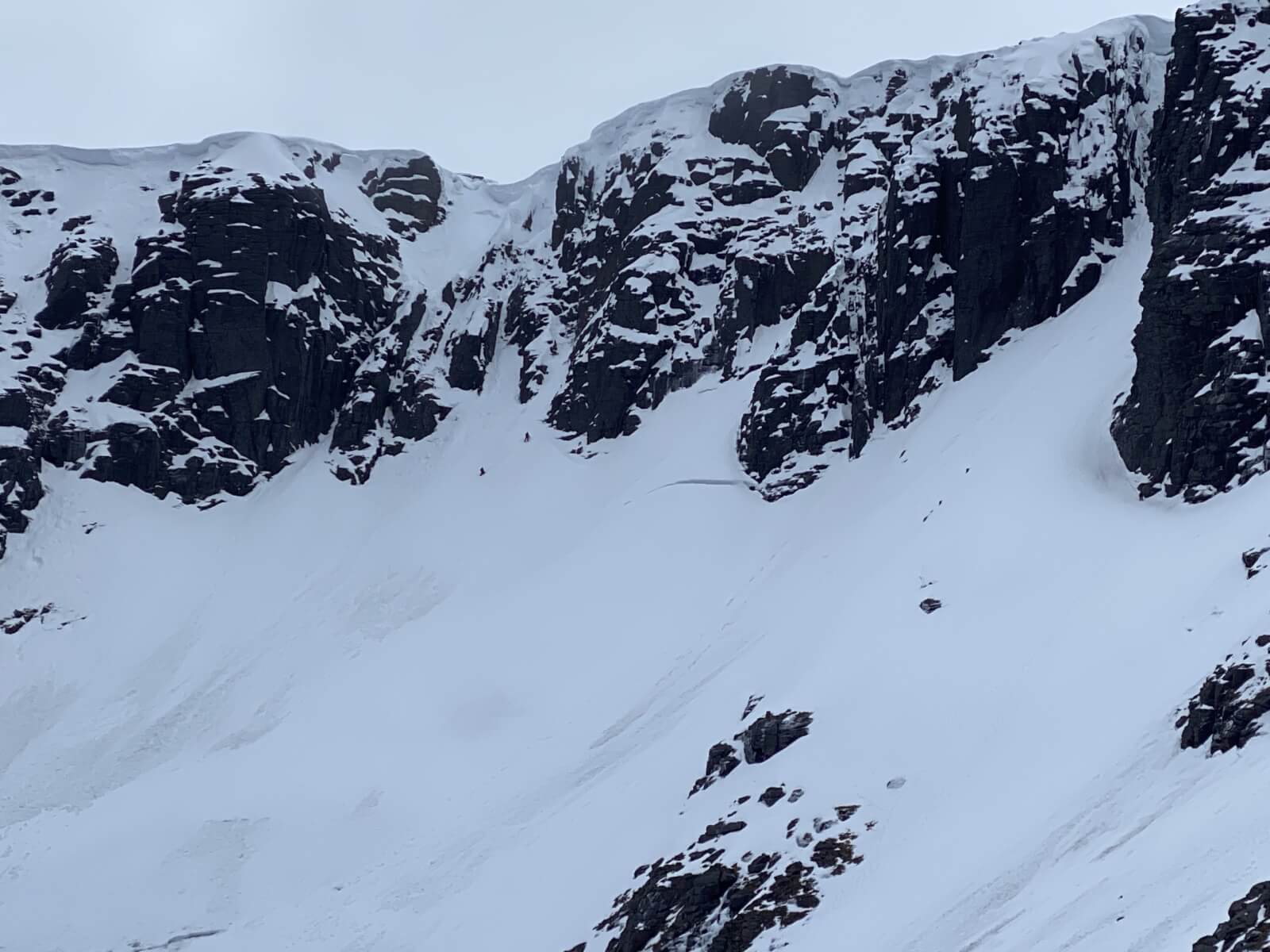
The snowpack is beginning to firm up at higher levels due to cooler temperatures and remains soft at lower levels. Large cornices still loom over some North-West to Northerly aspects. There were a few light snow showers but it was mostly dry with a moderate breeze at higher levels. The freezing level is expected to fall to 600 metres on Saturday, this will firm up the snowpack to a greater degree therefore steep slopes will have serious run out potential.
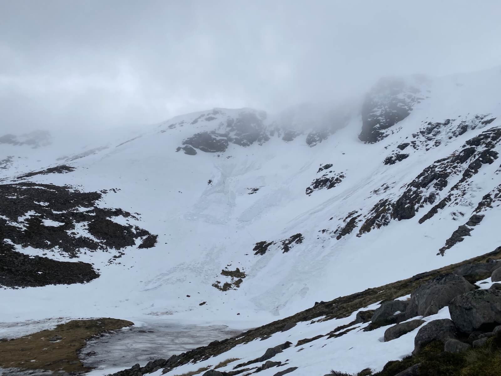
Avalanche debris in Coire an Lochain, most likely happened during the heavy rain on Wednesday night.
A closer view of one of the crown walls, this could potentially have been triggered by cornice collapse.
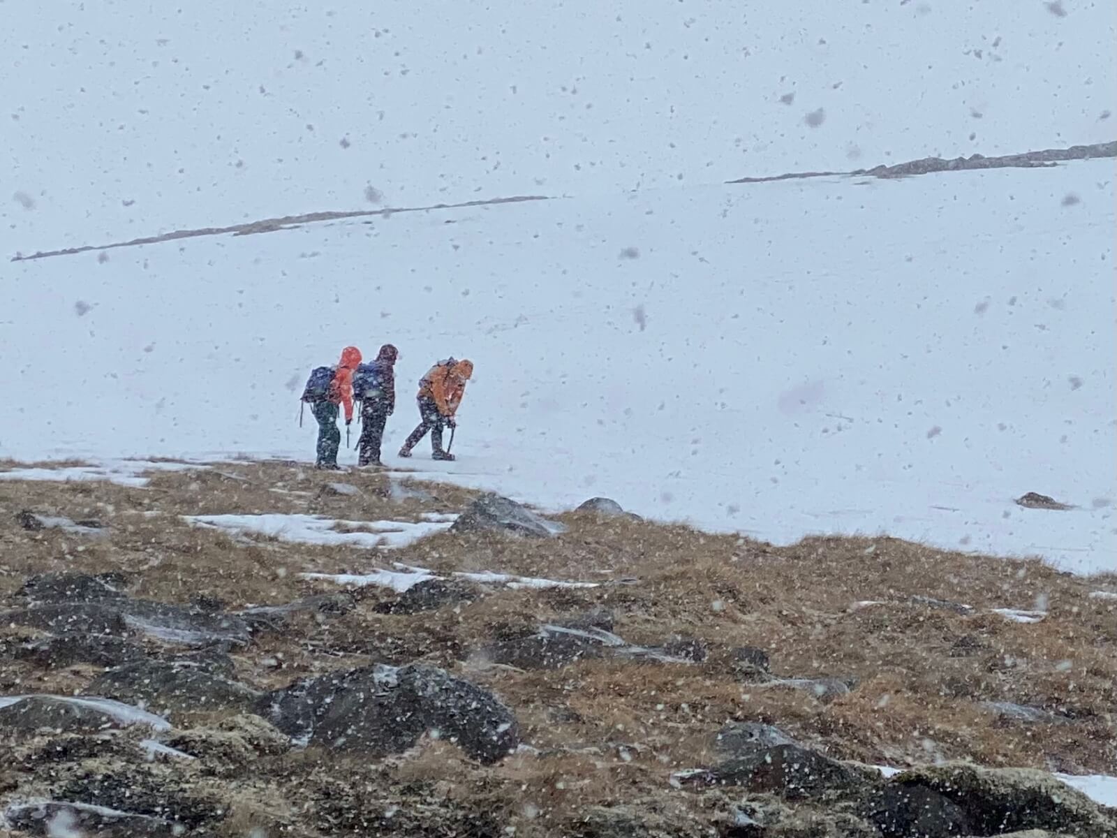
Firm snow above 900 metres, perfect for learning crampon skills.
Lurcher’s Gully.

A Chinook made a brief appearance before disappearing back in to the Lairig Ghru.
Comments on this post
Got something to say? Leave a comment


