Gale Force Winds
1st March 2026
A wild day in the Northern Cairngorms with gale force winds and snow overnight. Although snow amounts were forecast to be modest, active drifting has occurred under South-Easterly winds resulting in unstable windslab accumulations around the rims of Coire an t-Sneachda and Coire an Lochain.
The freezing level will rise above the summits and the passage of an occluded front will bring heavy rain at all levels overnight. A period of instability is expected, with a ‘Wet Snow‘ avalanche problem, and the potential for ‘Cornice‘ collapse. Wet slab and wet-loose avalanches are likely as the snow becomes saturated and may be associated with cornice collapse.
During the day the snowpack is expected to gradually stabilise as the freezing level falls to 950 metres.
Also of note is the potential for full depth, and glide slab avalanches as water penetrates the snowpack. These often occur in areas where the snowpack overlies granite slabs. They are however notoriously difficult to predict, but there are often signs of creep (and associated glide cracks) when water fully penetrates an isothermal snowpack for the first time. We may start to observe the tell tale signs of these if mild temperatures return in the coming days.
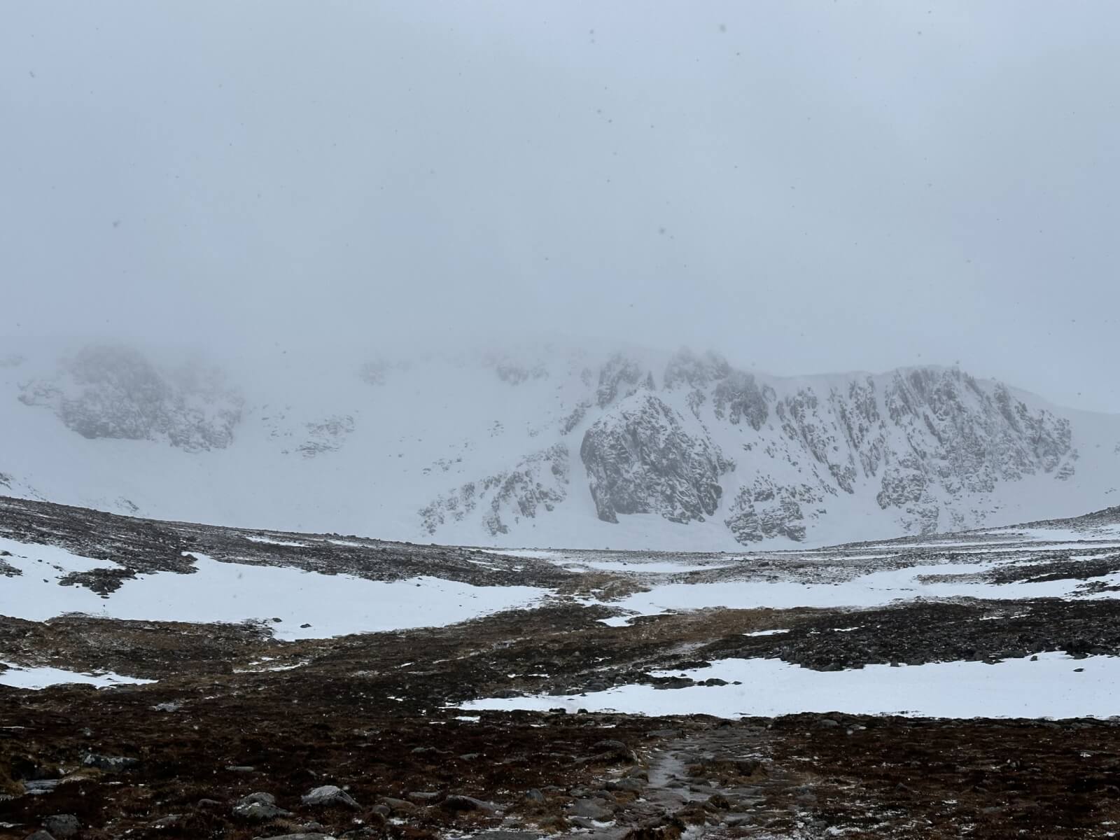
Looking into Coire an t-Sneachda. Note the coire is still quite white above 1000 metres.
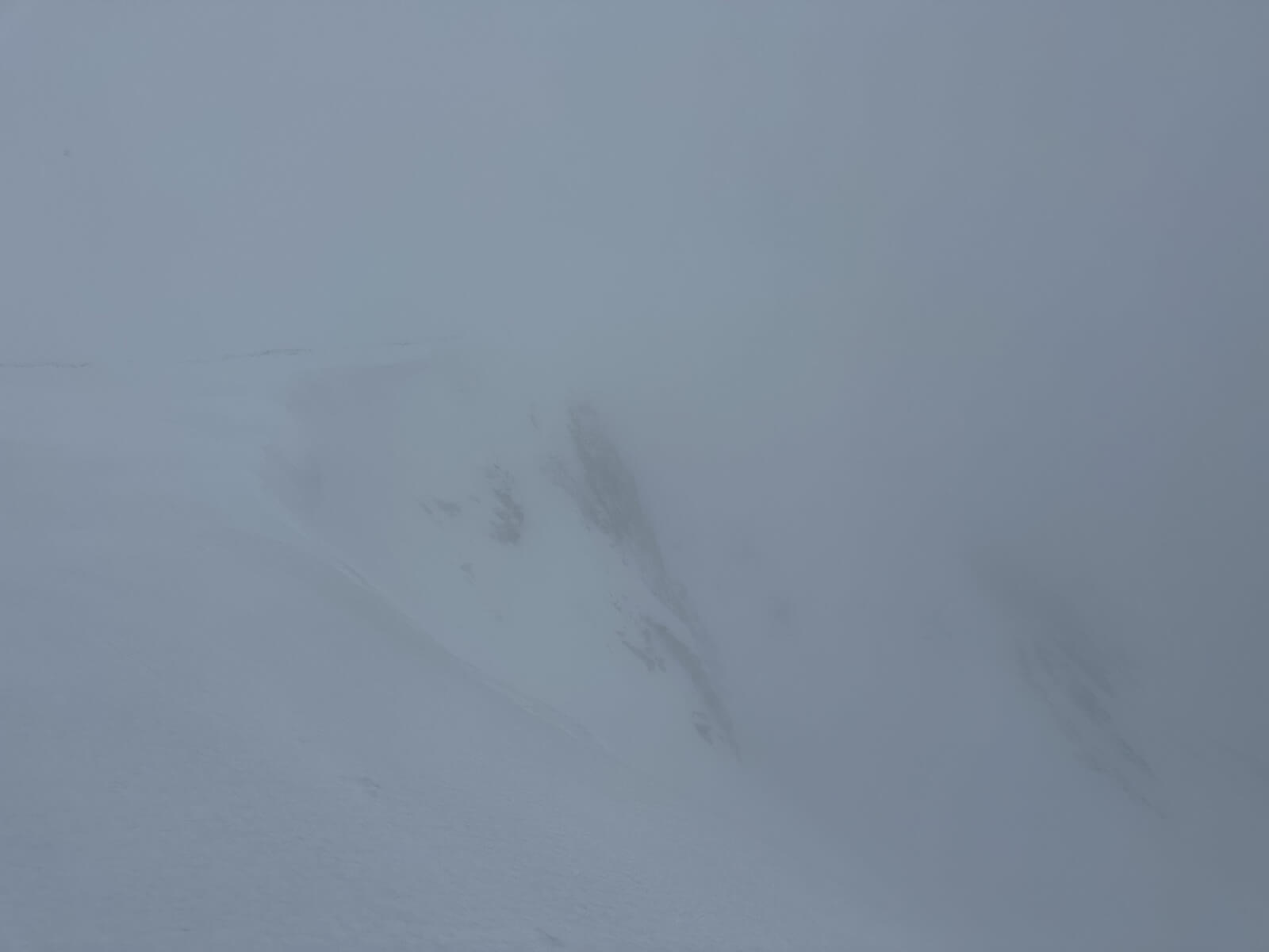
The view over to the ‘Mess of Pottage’ from Windy Col. Note the grey snow, indicative of neve and a firm snow surface alongside sone white areas of new windslab development.
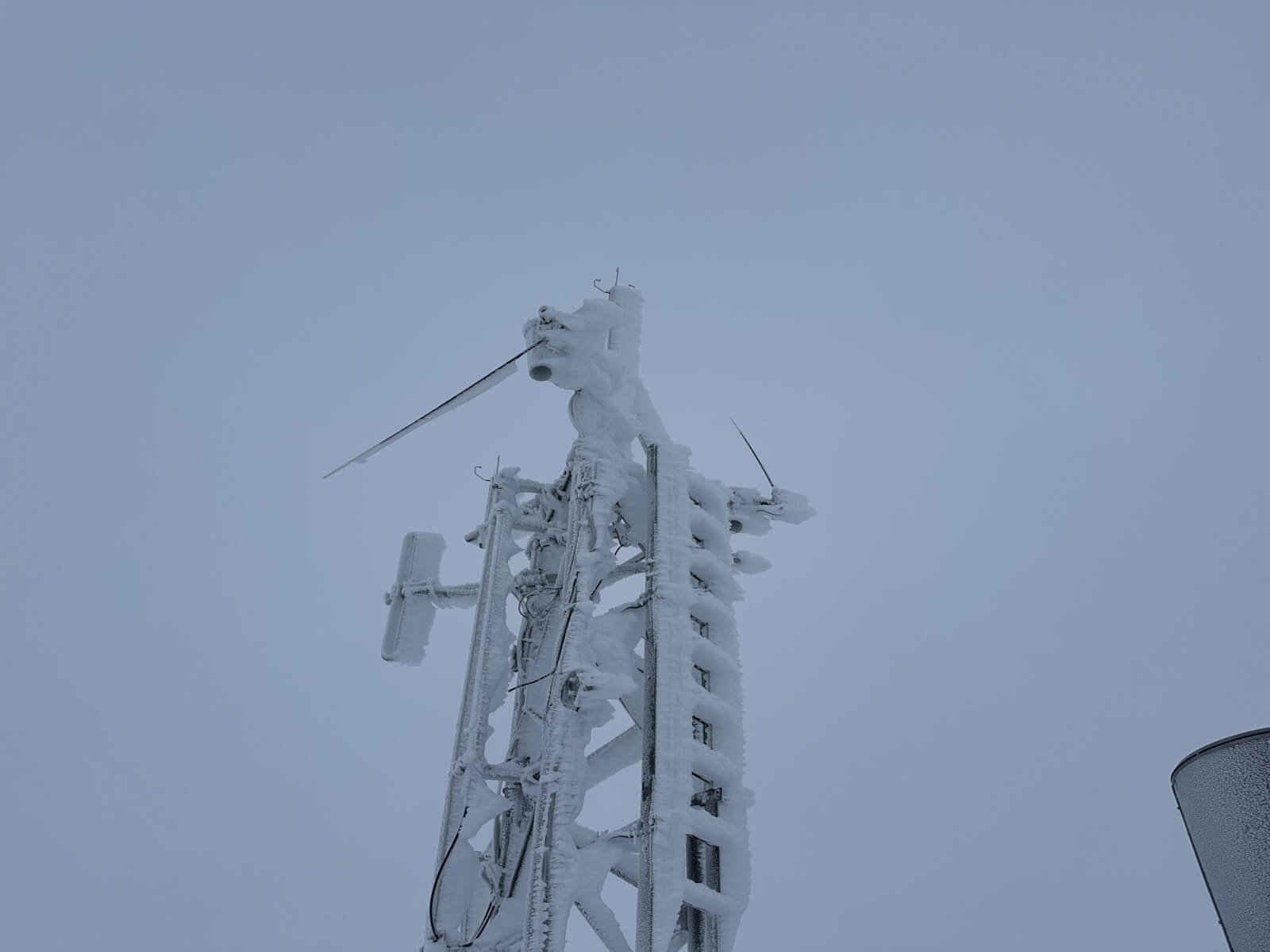
The summit of Cairn Gorm. Rime ice on the radio mast.
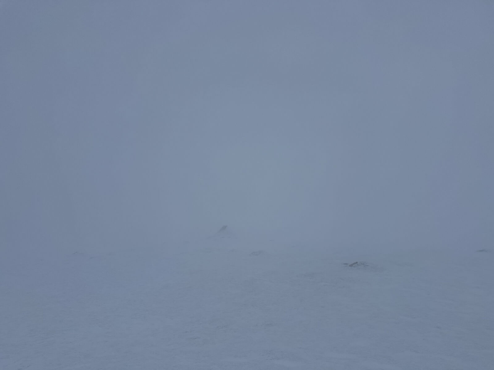
The true summit of Cairn Gorm. The visibility was mostly atrocious in contrast to yesterday.
Comments on this post
Got something to say? Leave a comment


Siobhan Cunnane
1st March 2026 6:09 pm
Potentially daft question incoming…
You mention windslab forming today, but
why is not an issue tomorrow? Is it because the snowpack will likely get saturated overnight.
Cheers
ncairngormsadmin
2nd March 2026 7:44 am
Hi Siobhan, No that’s not daft at all. To use the avalanche problem, there was drifting and precipitation on the 1st March which built windslab throughout the day. Overnight on the 1st and into today (2nd March) the freezing level will be above the summits and the windslab will be saturated by rain. Any avalanches will be wet-slab (as opposed to dry slab) along with wet-loose. These are normally categorised under the ‘Wet Snow’ Avalanche Problem and we tend to use terms like “wet snow instabilities” and “wet snow”, etc. Days like this are not as common in the Cairngorms as elsewhere e.g. Lochaber.