Bon regel
2nd March 2026
“Bon regel” is a good description for today’s blog. Taken from the French avalanche forecast meaning good regel or refreeze. The snowpack was saturated by rain overnight, after which the freezing level dropped firming up the snow in most locations.
Higher up in the north facing coires the snowpack was firm neve, or even icy in some locations. Although the freezing level rose a little during the day the snow only softened on the lowest slopes or steeper slopes exposed to the sun.
Tomorrow the snow surface will remain firm and consequential in the event of an uncontrolled slide. Good cramponing or good skiing will be of benefit when travelling. With good cover, this will allow fast progress compared to the deep soft snow which has been characteristic of the last few weeks.
As a ridge of high pressure becomes established near the end of the period be alert to the snow surface remaining firm above 800 metres. The snow will remain solid in spite of a rising freezing level towards the end of the period, which is slightly paradoxical. Firm snow will be the greatest threat, the avalanche hazard will be low.
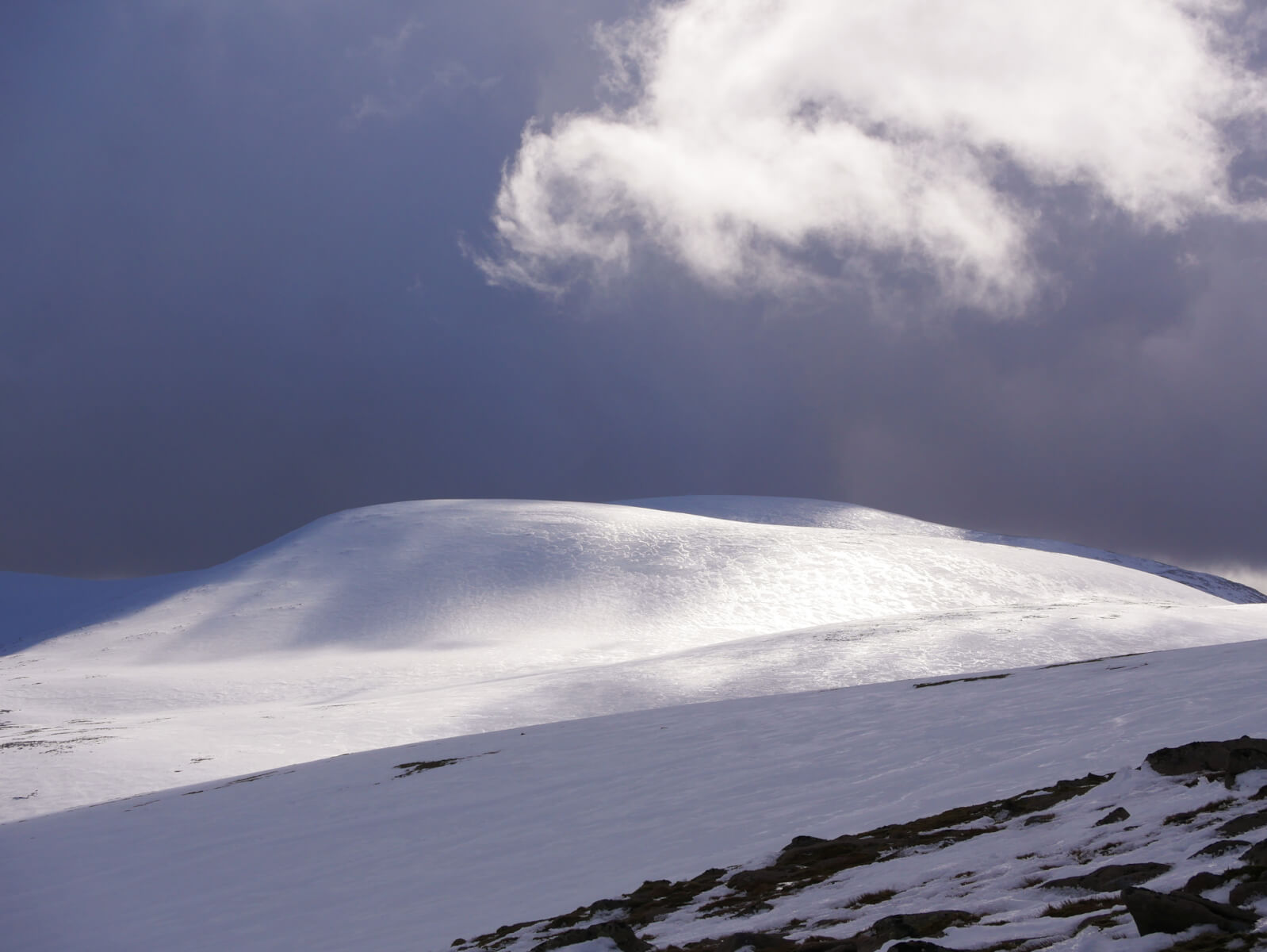
The slopes Ben Macdui seen from Cairn Lochan. Excellent cover on the plateau, but firm and icy.
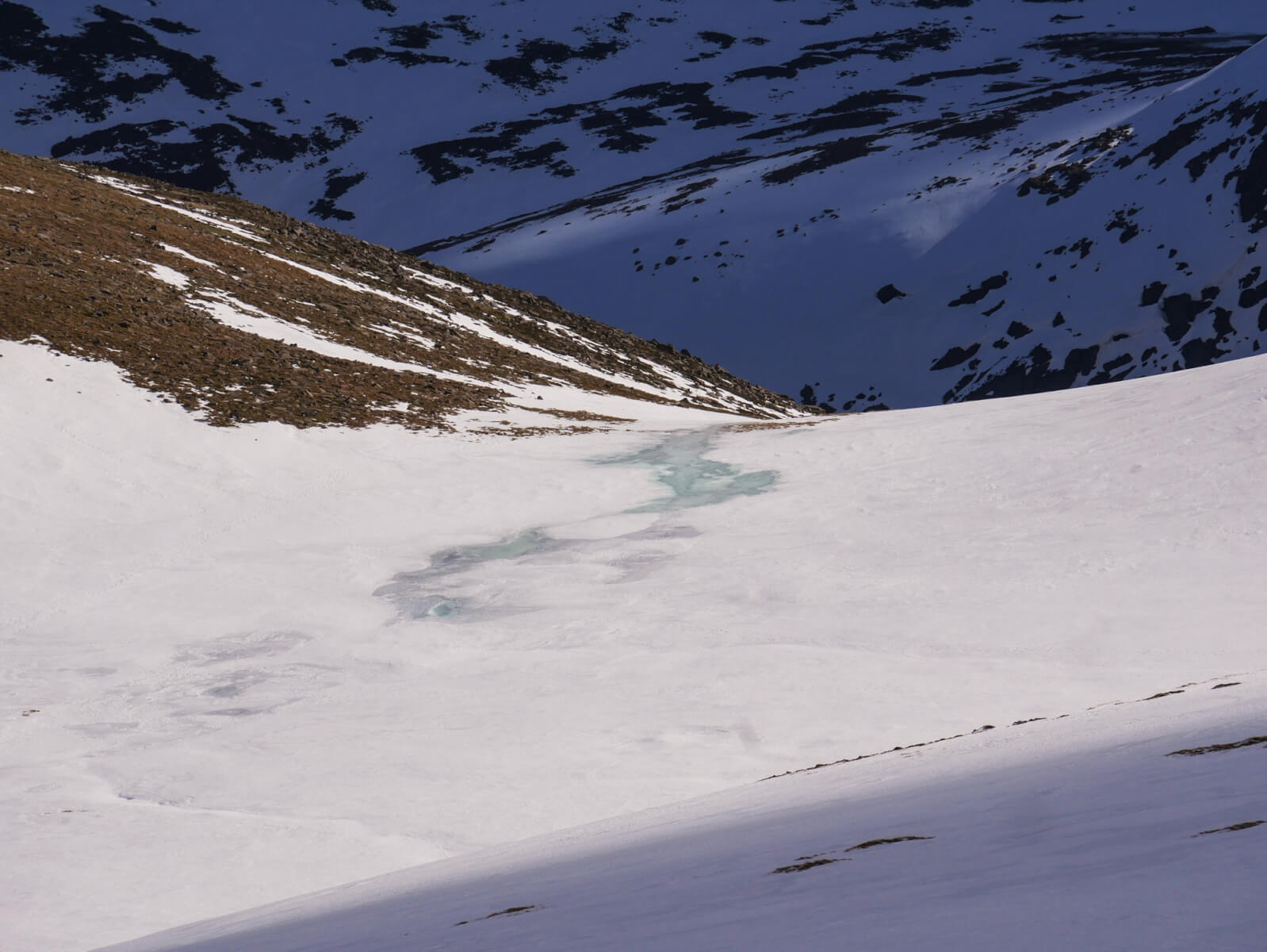
Heavy rain was forecast overnight, but there was little sign of it this morning as the freezing level fell. But there are tell tale signs such as this saturated and waterlogged snow in Coire Domhain.
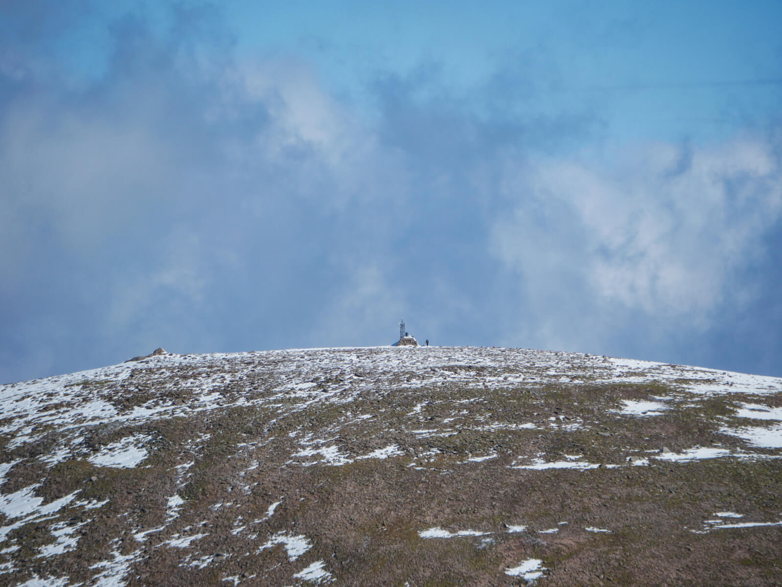
The summit of Cairn Gorm. Note the rather bare South-Wet facing slopes. These were heavily coated in rime ice yesterday which has been stripped by rain overnight.
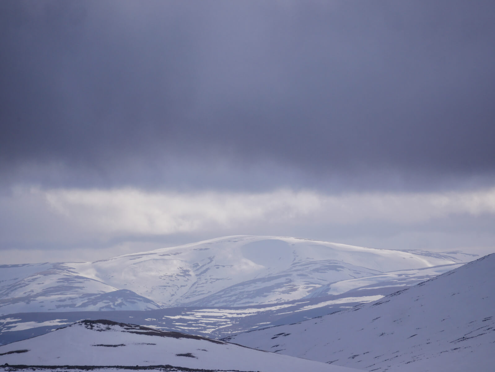
Glas Maol in the Southern Cairngorms SAIS area… The large bowl is Coire Fionn, if you zoom in some avalanches are visible which have previously been recorded by forecasters in the south.
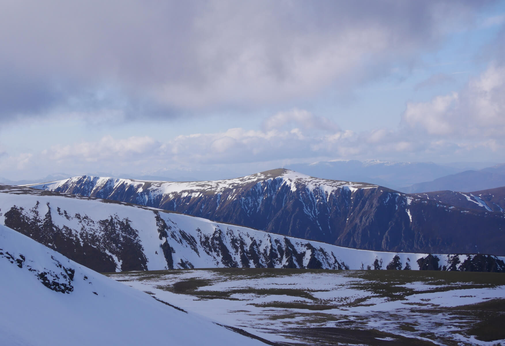
The snowy ridge of Sron na Lairige with Sgoran Dubh Mor and Sgor Gaoith behind.
Comments on this post
Got something to say? Leave a comment


