Spindrift
13th March 2026
A day of cold temperatures with snow showers on gale force Westerly winds. There was a few centimetres of snow at glen levels first thing but this soon melted as the freezing level rose to 700 metres. Significant drifting at higher levels, with windslab becoming deeper and more widespread on lee slopes. Yesterday’s wet snow has refrozen and is very firm and icy on wind exposed slopes with serious run out potential on steep slopes.
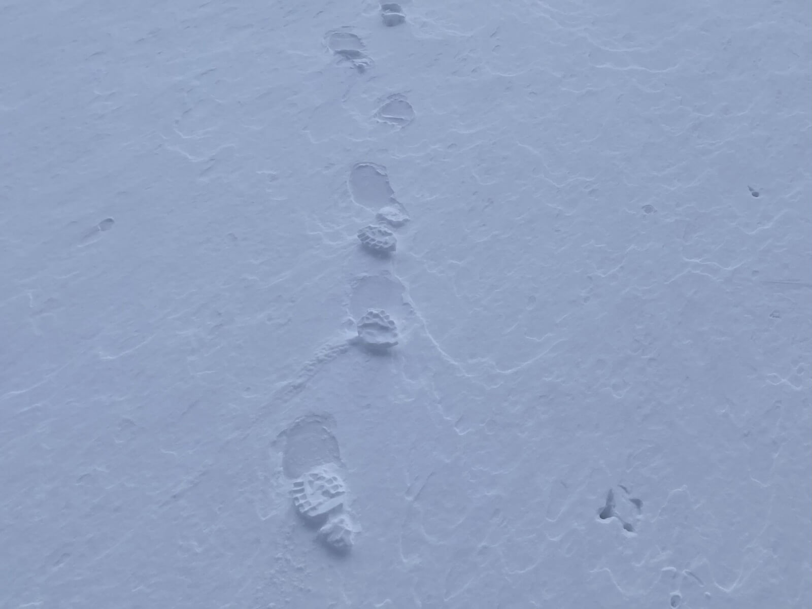
Raised footprints where snow has eroded in the strong winds.
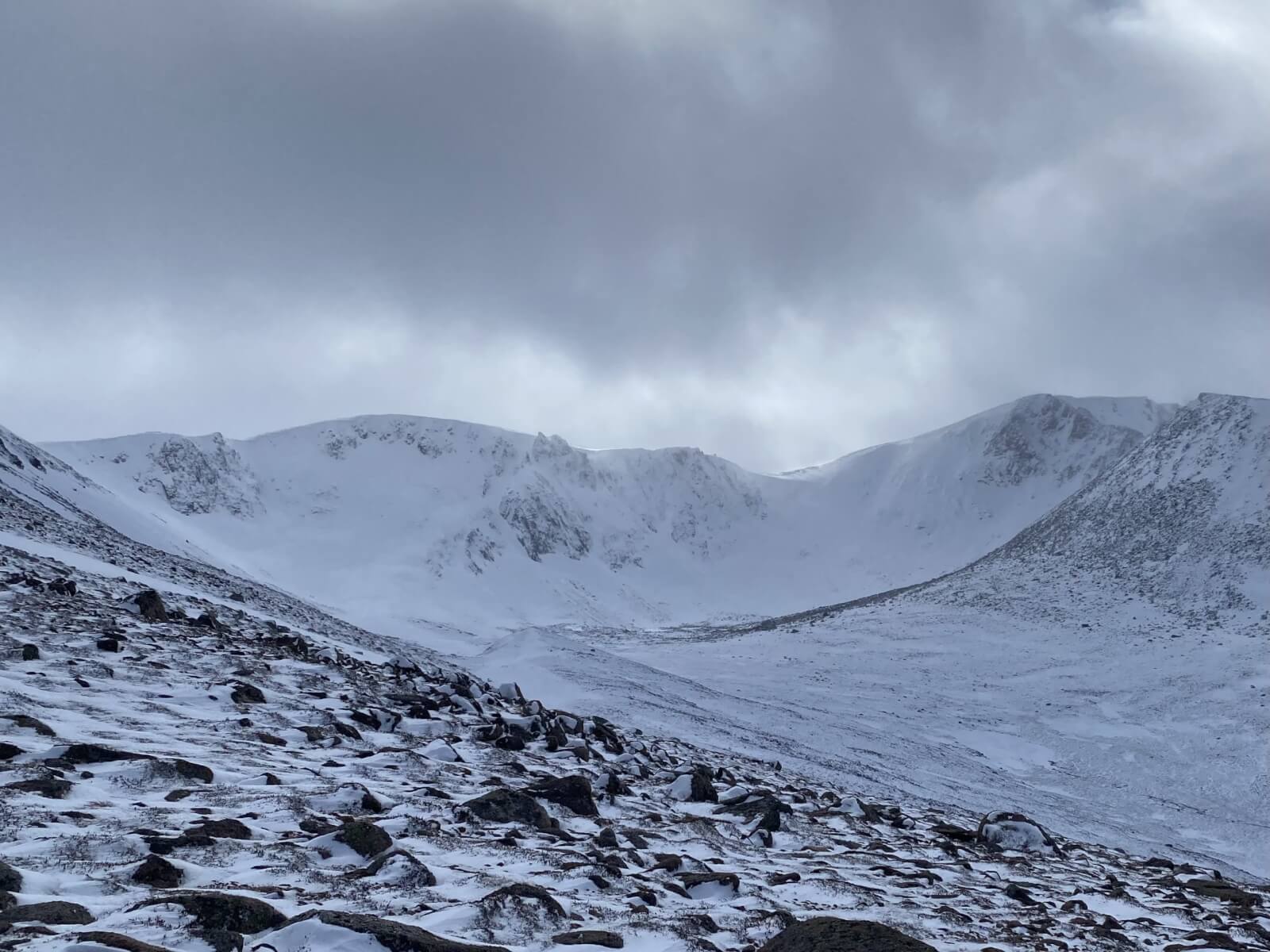
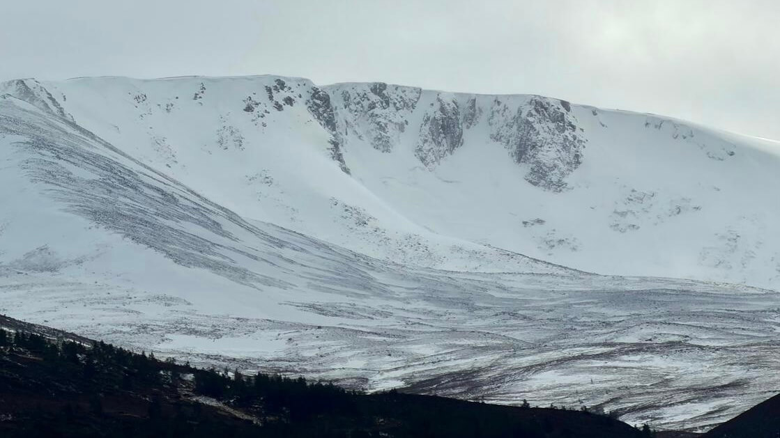
Lurchers Gully.
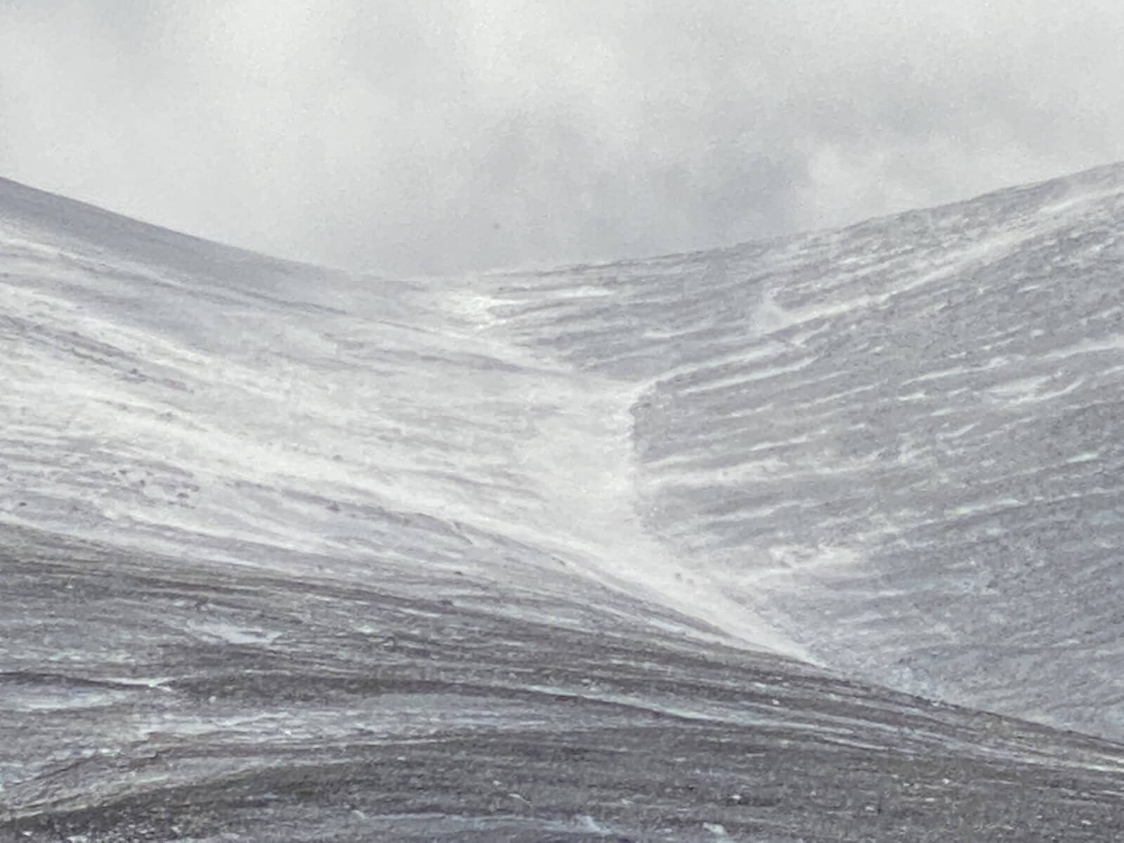
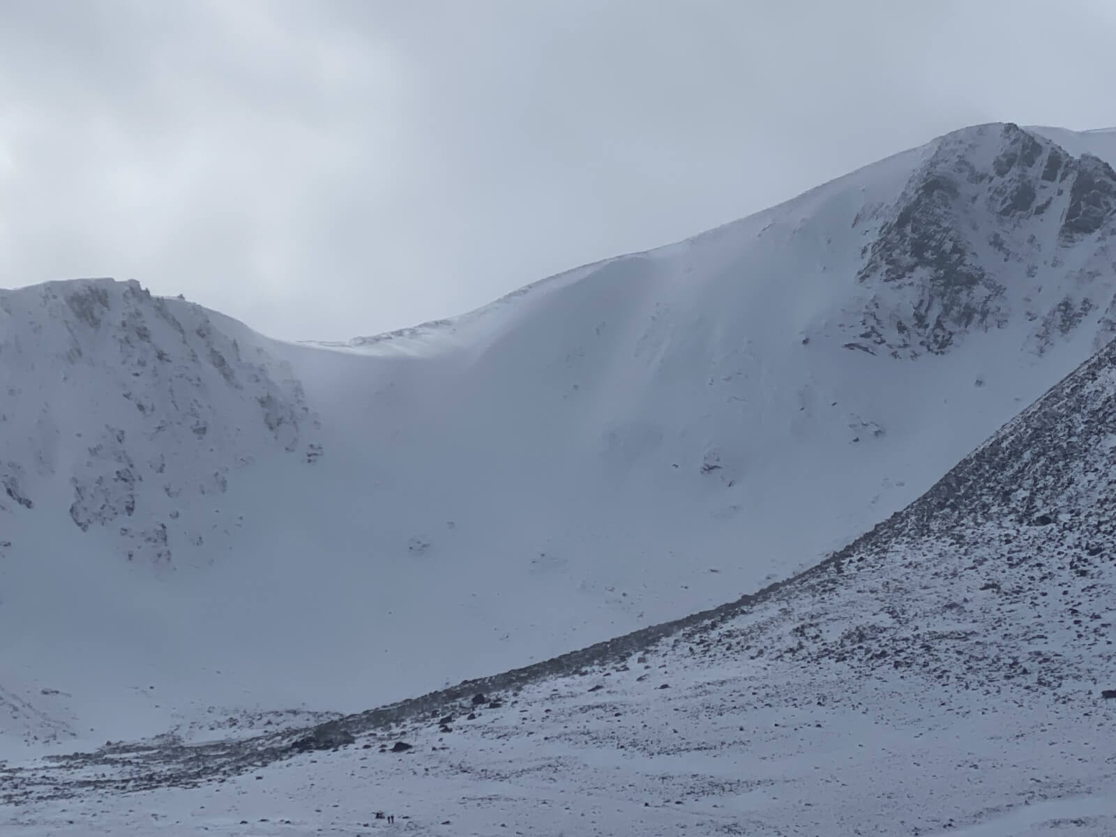
Some wind exposed slopes are scoured and icy.
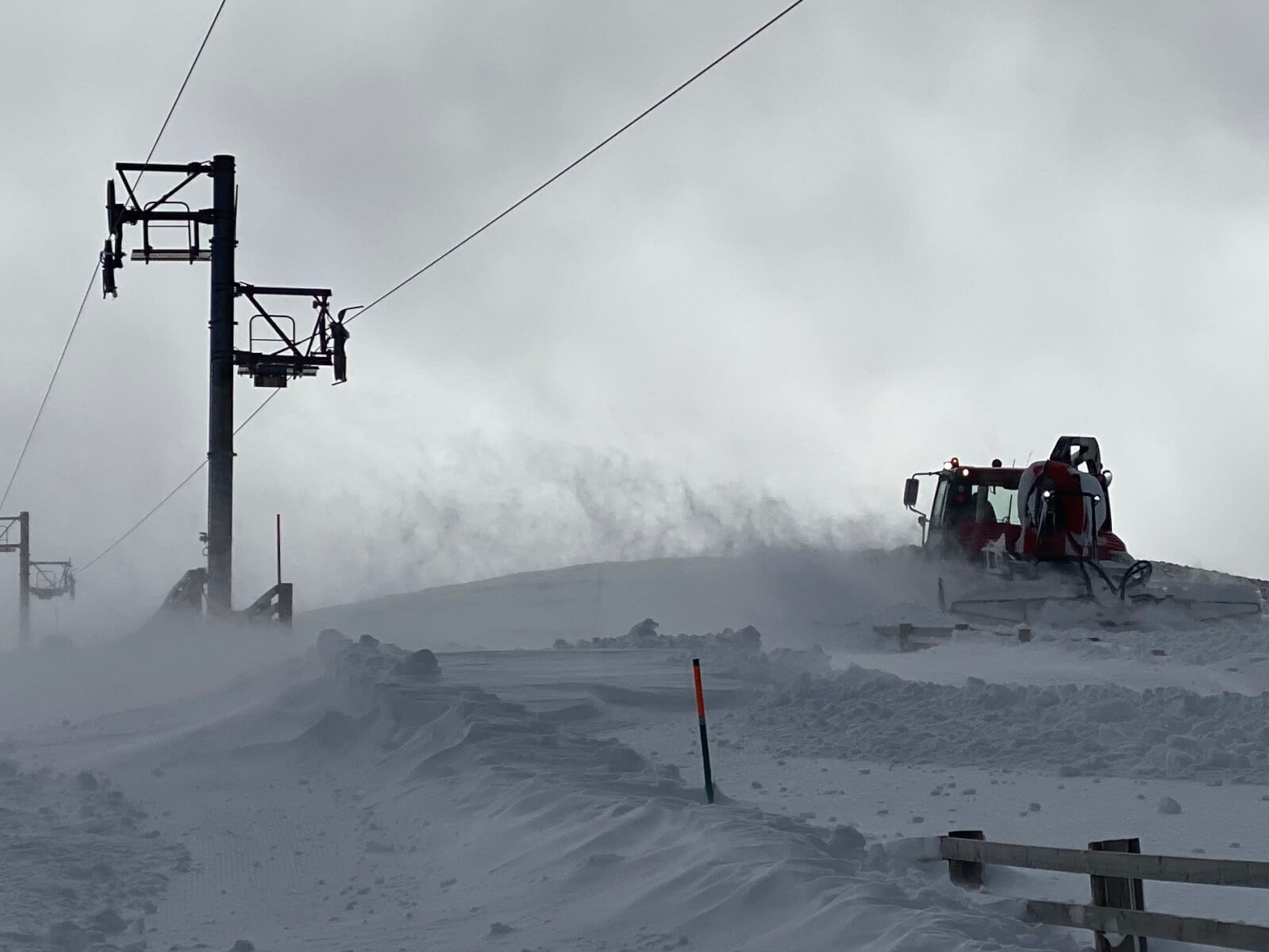
At 1000 meters. Drifting snow on gale force Westerly winds.
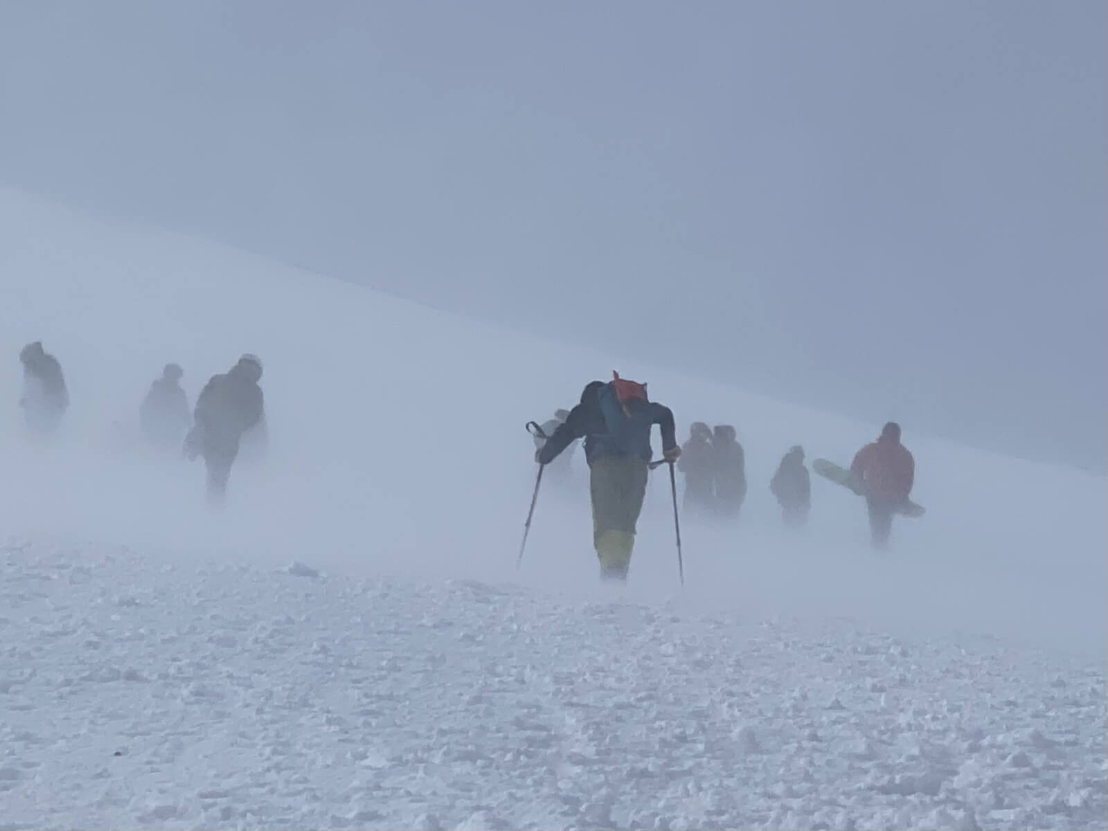
1100 metres. Skier’s and snowboarder’s do battle with the wind.
Coire an t-Sneachda, firm, icy or bare on wind exposed slopes, New windslab on Northerly to Easterly aspects.
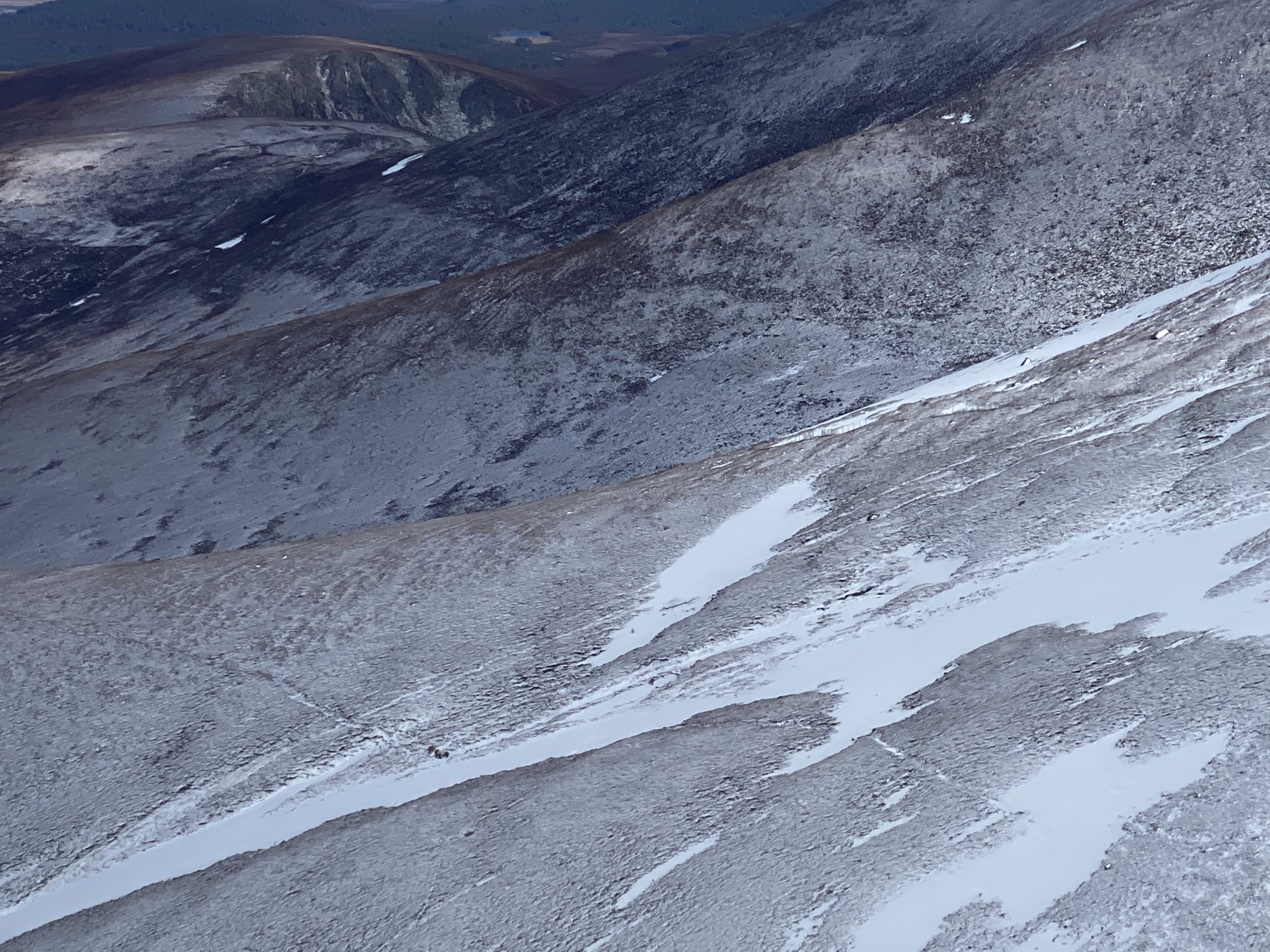
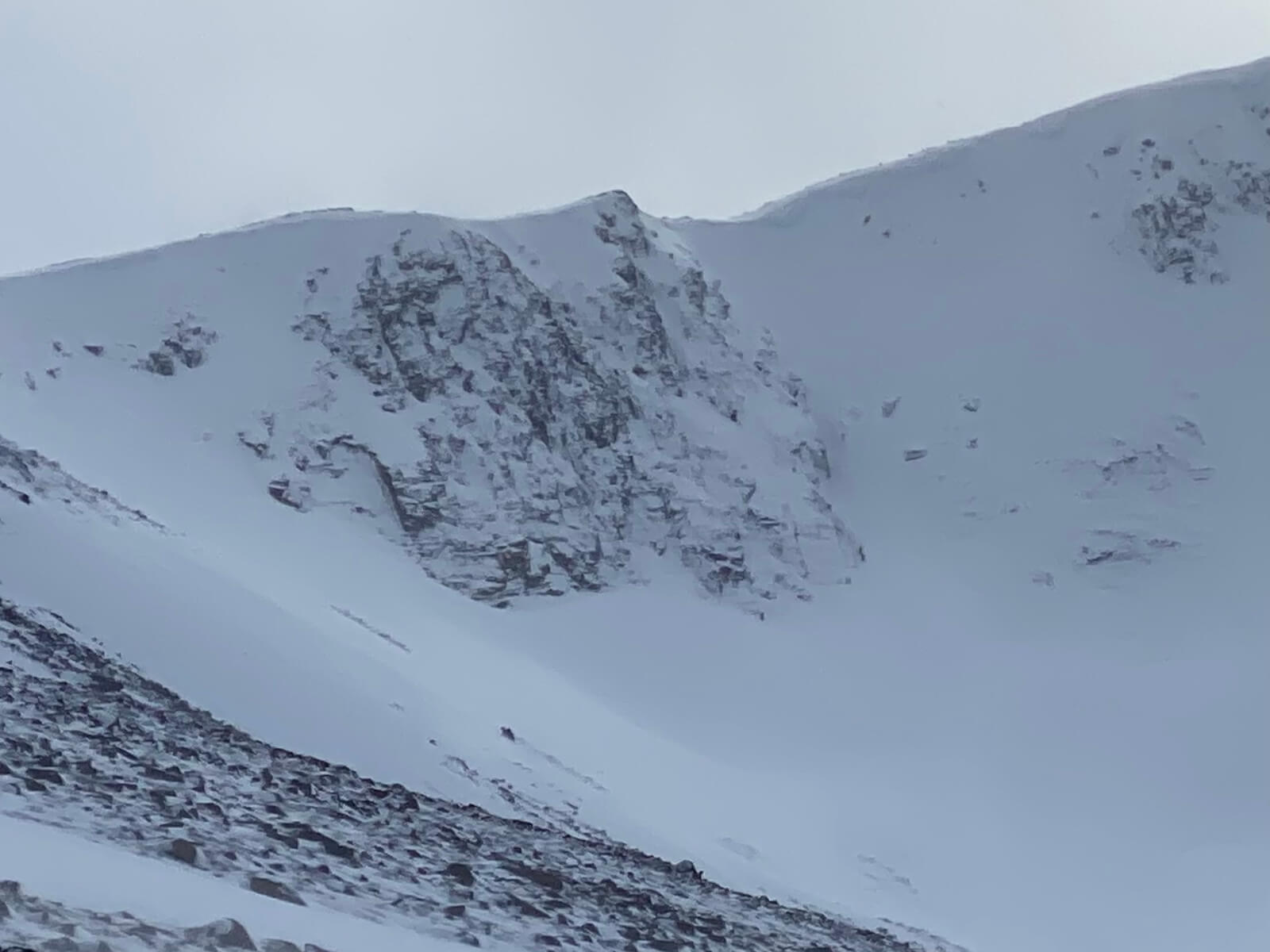
The North facing Goat track, and East facing Fiachaill Buttress.
Mess of Potage.
A fleeting view of Coire an Lochain from the Glen. Photo G Moss.
Comments on this post
Got something to say? Leave a comment


