Windslab again…
16th March 2026
Unstable windslab was present today on North to through North-East to South-East aspects above 950 metres. The greatest instability was present on North-East and East aspects where accumulations are more widespread and deeper.
A slight rise in the freezing level late in the day may bring instability. With temperatures rising and the onset of rain the snowpack will remain structurally weak overnight. The low density layer below more cohesive slab may be the orchestrator of avalanche activity, either naturally or triggered by cornice collapse. Later, a stabilising trend will become established.
This complicated picture will be the subject of some scrutiny tomorrow. The timing of instability is likely to straddle two forecasting periods, the avalanche hazard is Considerable.
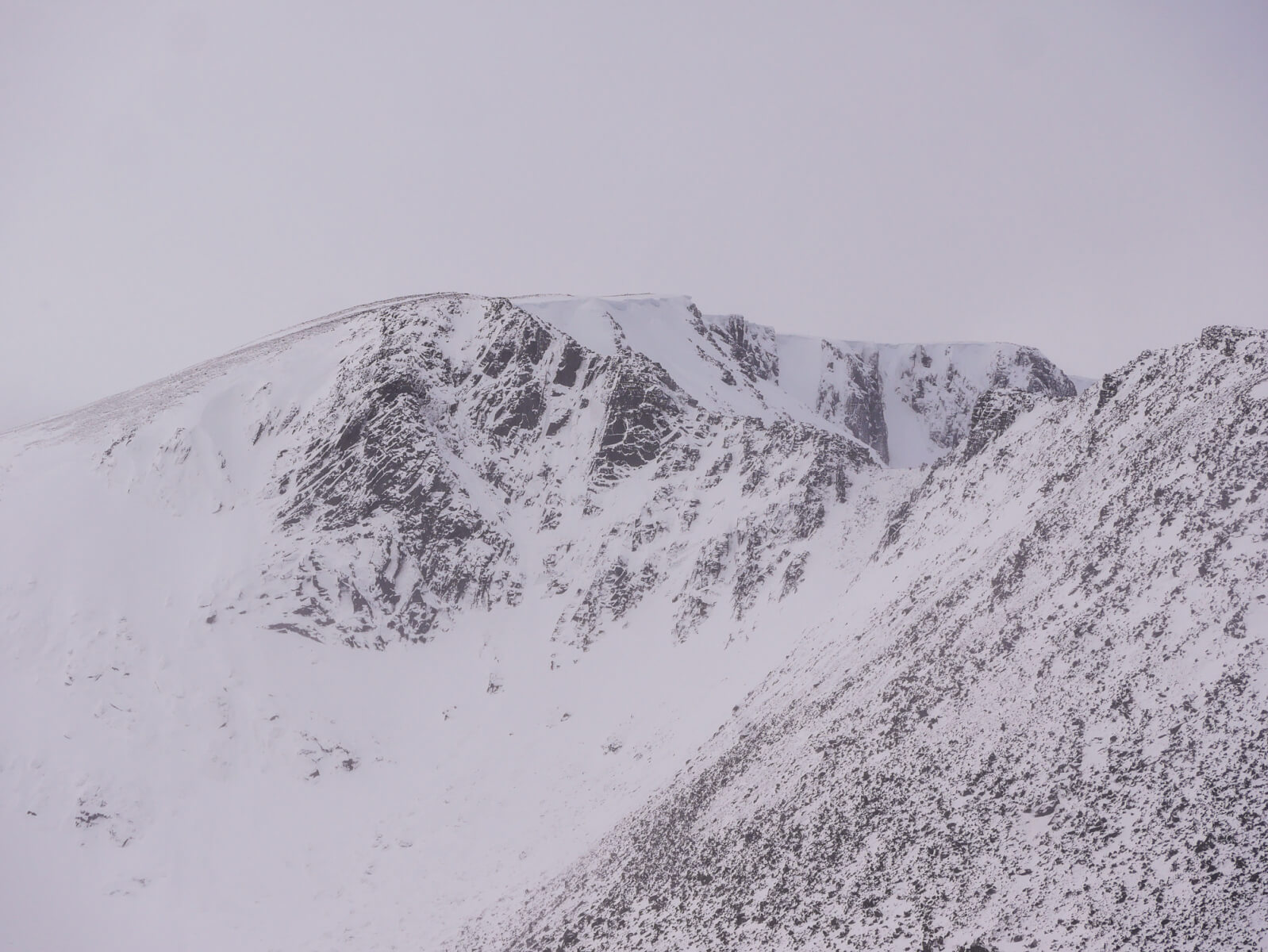
Fiacaill Buttress with Coire an Lochain behind.
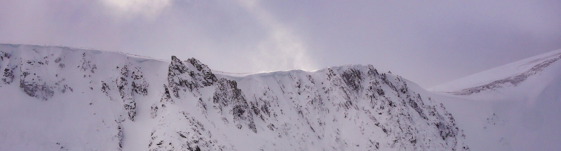
A thin section of Coire an t-Sneachda! This is where much of the unstable snow will be found. Close to the coire rim on Northerly aspects. North-East and east aspects demonstrated the greatest instability today. A closer look at the image will show bulges of fresh wind deposited snow in Alladdins Couloir and in the tops of gullies.
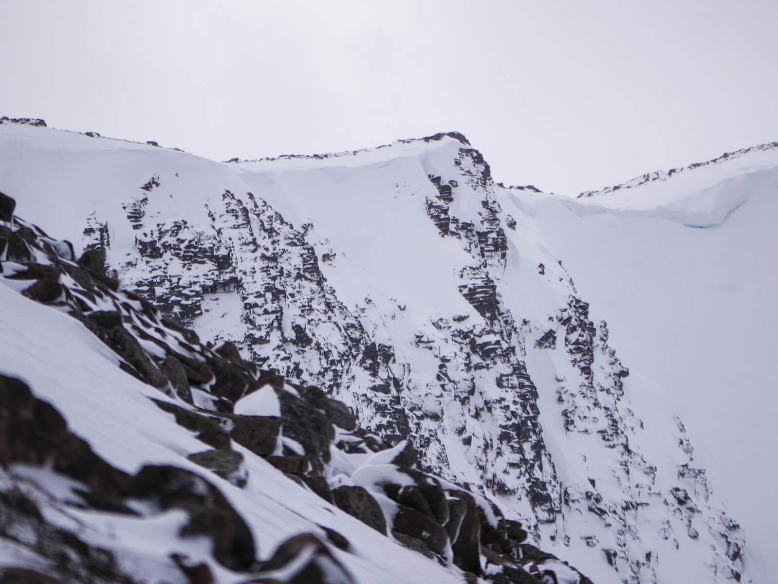
From thin section to oblique! A view of the Mess of Pottage from the Fiacaill a’Choire Chais. The two climbers are possibly on the second pitch of ‘Yukon Jack’. The snow field and associated scarp slope above has sported a particularly big cornice this season, although this seems to have now gone.
Comments on this post
Got something to say? Leave a comment