Gale force Southerly winds
23rd March 2026
It started out as a relatively calm day but the Southerly winds rapidly increased to gale force making progress challenging. It was bitterly cold too, feeling like -12 degrees Celsius with the windchill taken into consideration. The old snowpack was firm and icy throughout, quite a change from the soft spring snow conditions of yesterday.
There had been a light dusting of fresh snow during Sunday night which was soon being redistributed onto Northerly aspects in the gale force winds.
The freezing level is forecast to go above the summits briefly on Monday night, but then decrease again throughout Tuesday with fresh snow expected to fall as low as 700 metres by the end of the day.
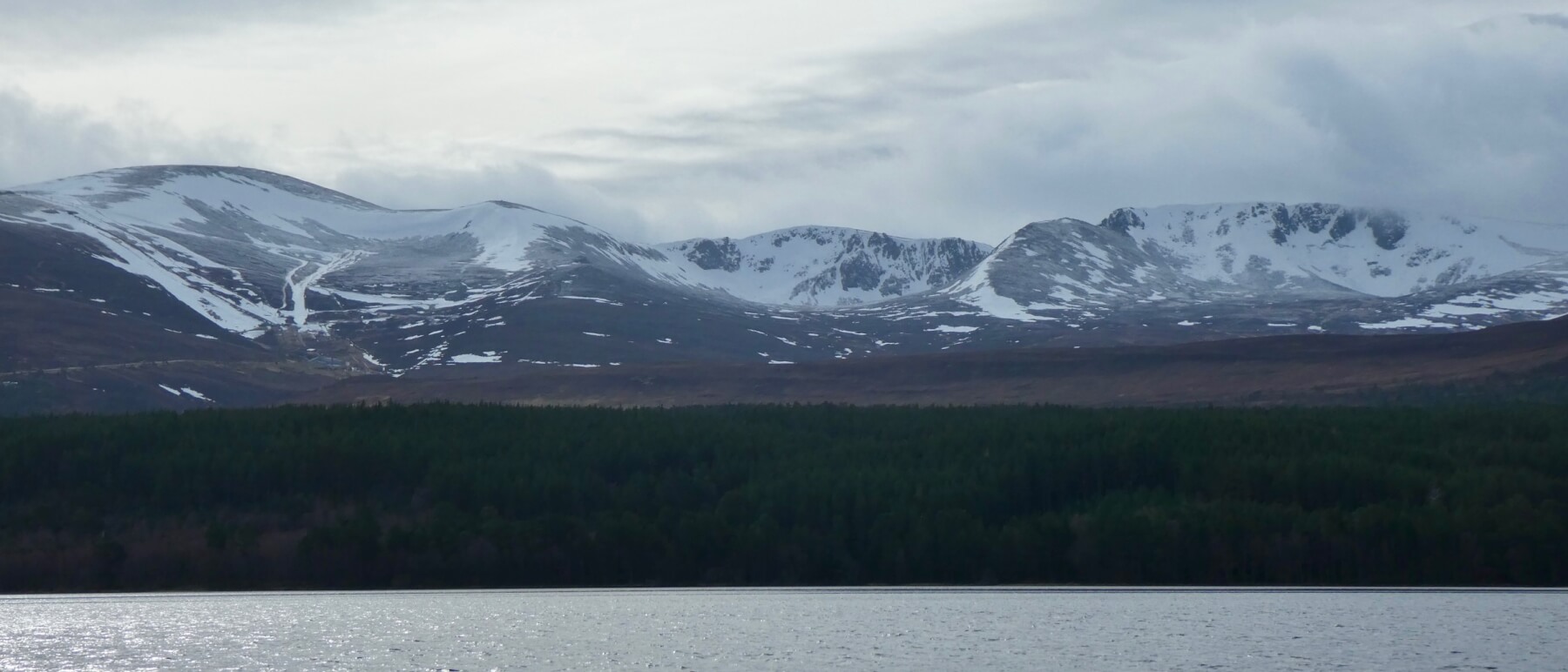
Early morning view across Loch Morlich towards Coire Cas and the ski area (left), Coire an t-Sneachda (centre) and Coire an Lochain. There was a light dusting of snow down to 950 metres.
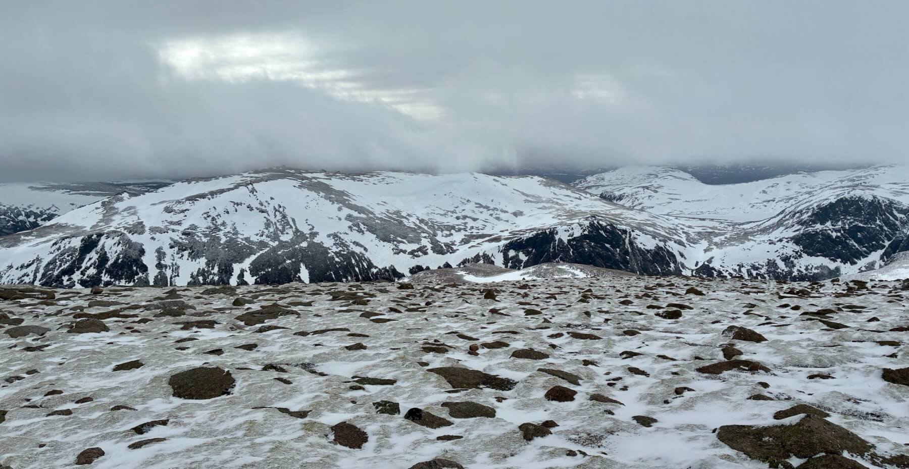
Looking South-East from the summit of Cairn Gorm towards Beinn Mheadhoin.
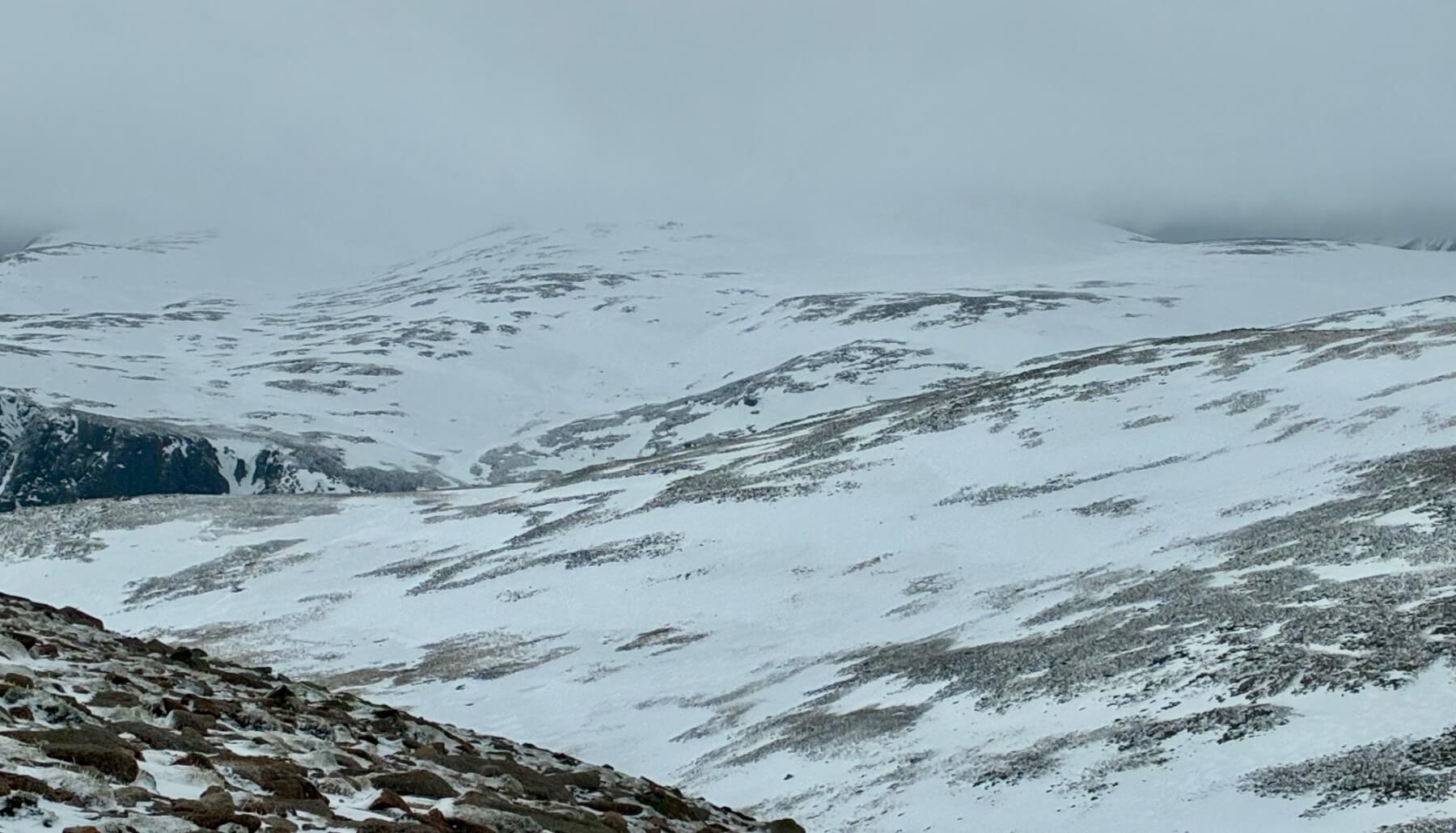
Looking across the plateau towards the summit of Ben Macdui which is in the clouds.
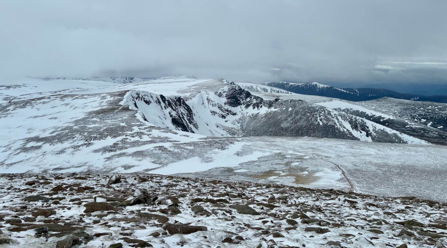
The view from the West side of Cairn Gorm towards Coire an t-Sneachda and Fiaciall Ridge.
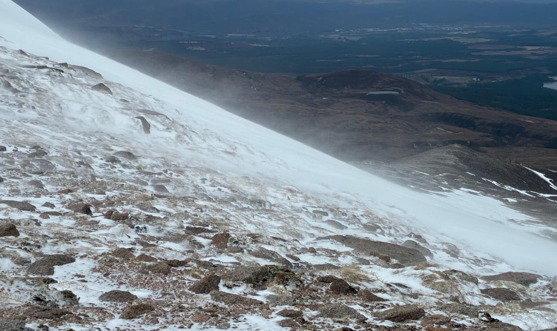
The Southerly winds rapidly increased in strength throughout the morning and the fresh snow was being blown and deposited onto Northerly aspects.
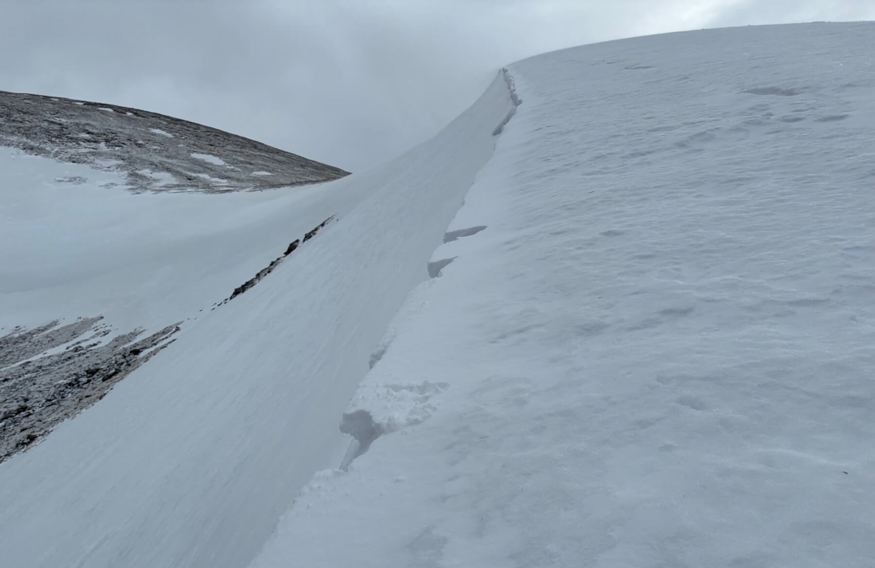
Small fresh cornice build up above a Northerly aspect. The old snow was firm and icy throughout.
Comments on this post
Got something to say? Leave a comment


