Heavy snow showers
28th March 2026
Sunshine, heavy snow showers, gale force Westerly winds and cold temperatures, lows of minus 5 Celsius on the tops. Generally visibility was good but during the squally snow showers visibility turned poor very quickly. Where the old snow lies, wind exposed slopes are very firm and icy or bare. Soft windslab has become deeper and more widespread on lee slopes. More snow forecast over the next 24 hours.
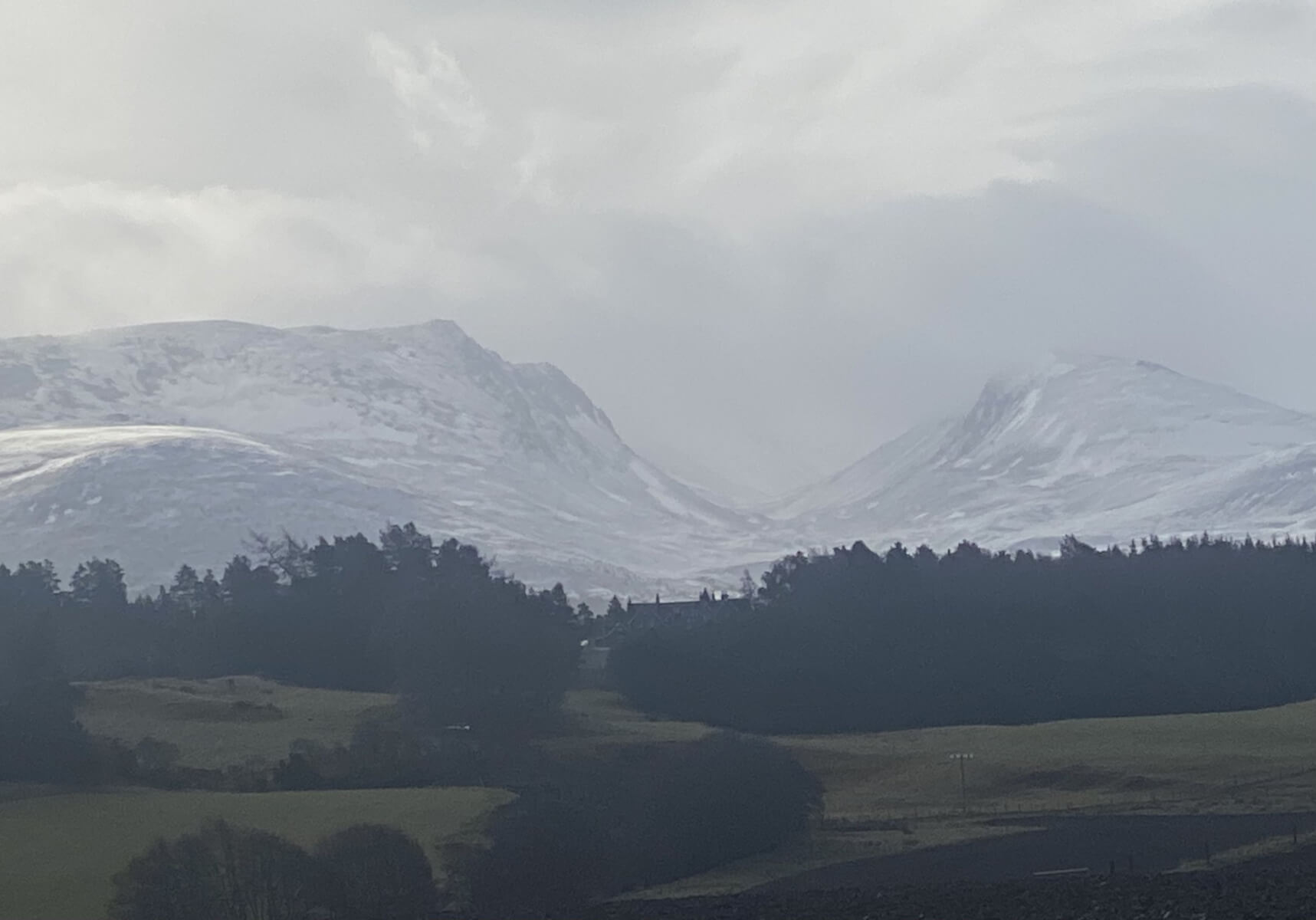
The Northern end of the Lairig Ghru.
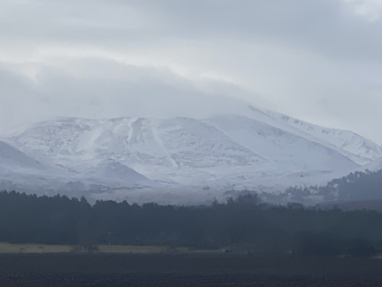
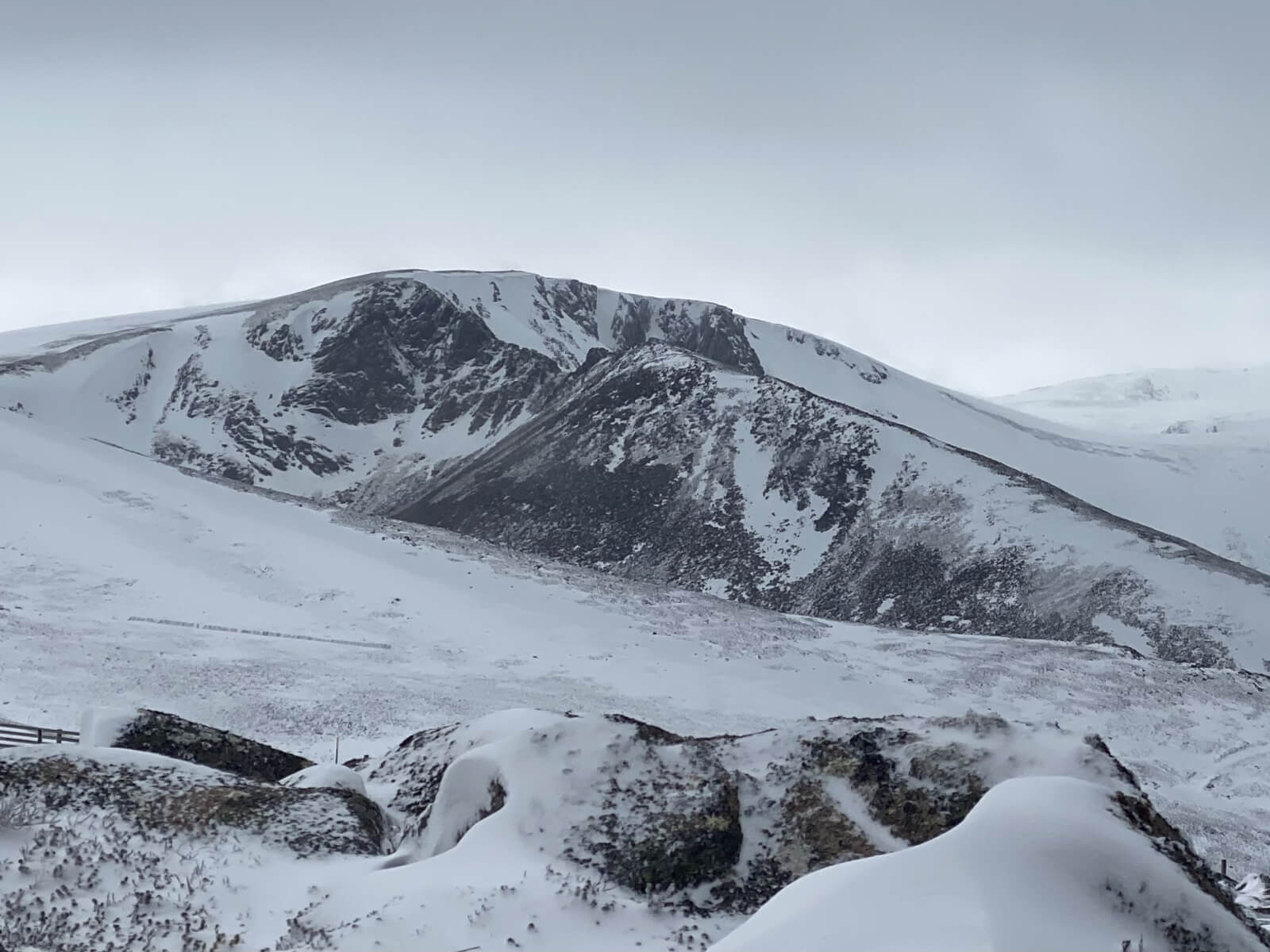
The North facing corries of Braeriach. The strip of snow in the middle is called “The Escalator” a 400 metre shallow gully.
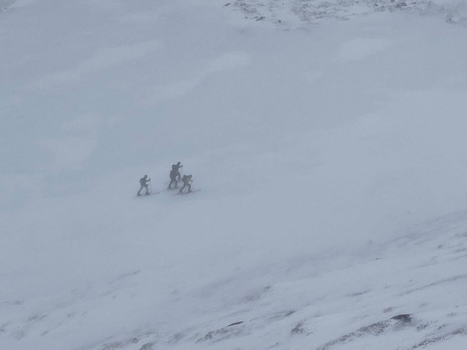
Ski tourers at the top of the Ciste Gully.
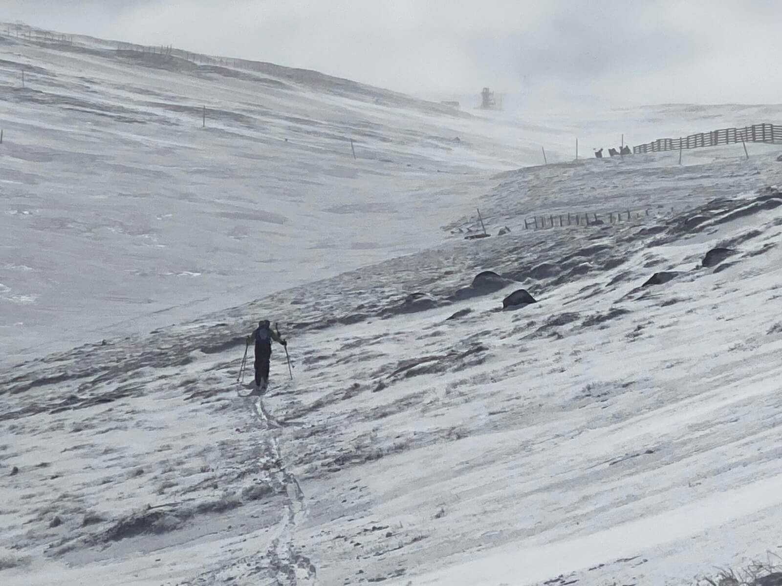
Heading towards the Ptarmigan bowl.
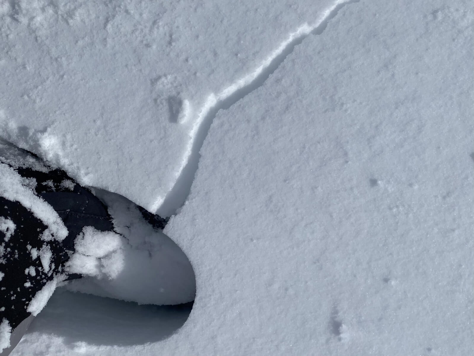
Cracking underfoot in this fresh windslab, a good indicator for snowpack instabilities.
Views of Fiacaill Coire an t-Sneachda with Lochain behind.
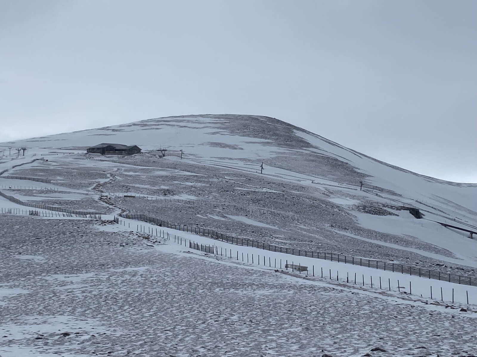
Looking towards Cairngorm, bare ground on wind exposed terrain.
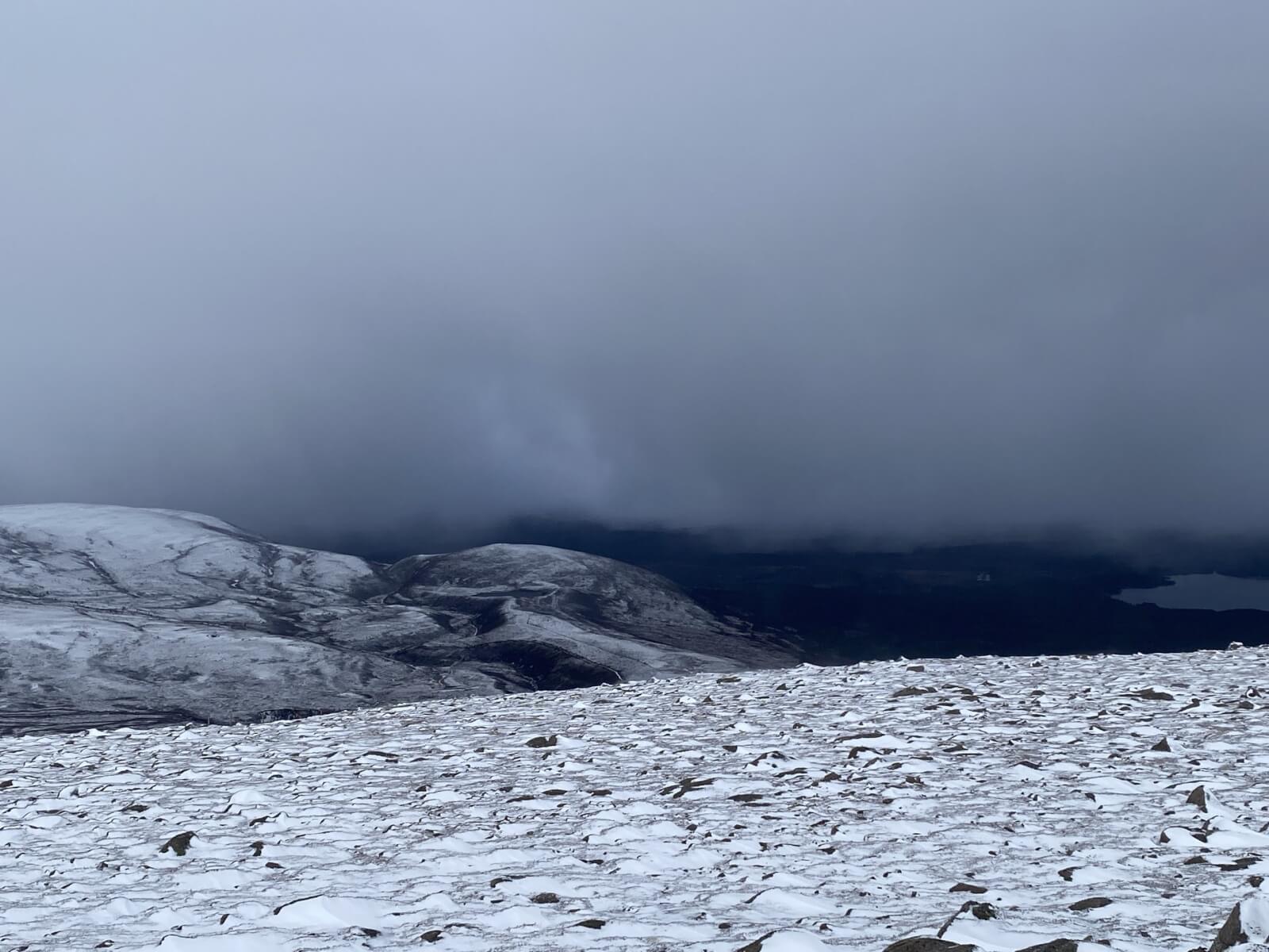
Squally snow showers soon arrived on gale force Westerly winds.
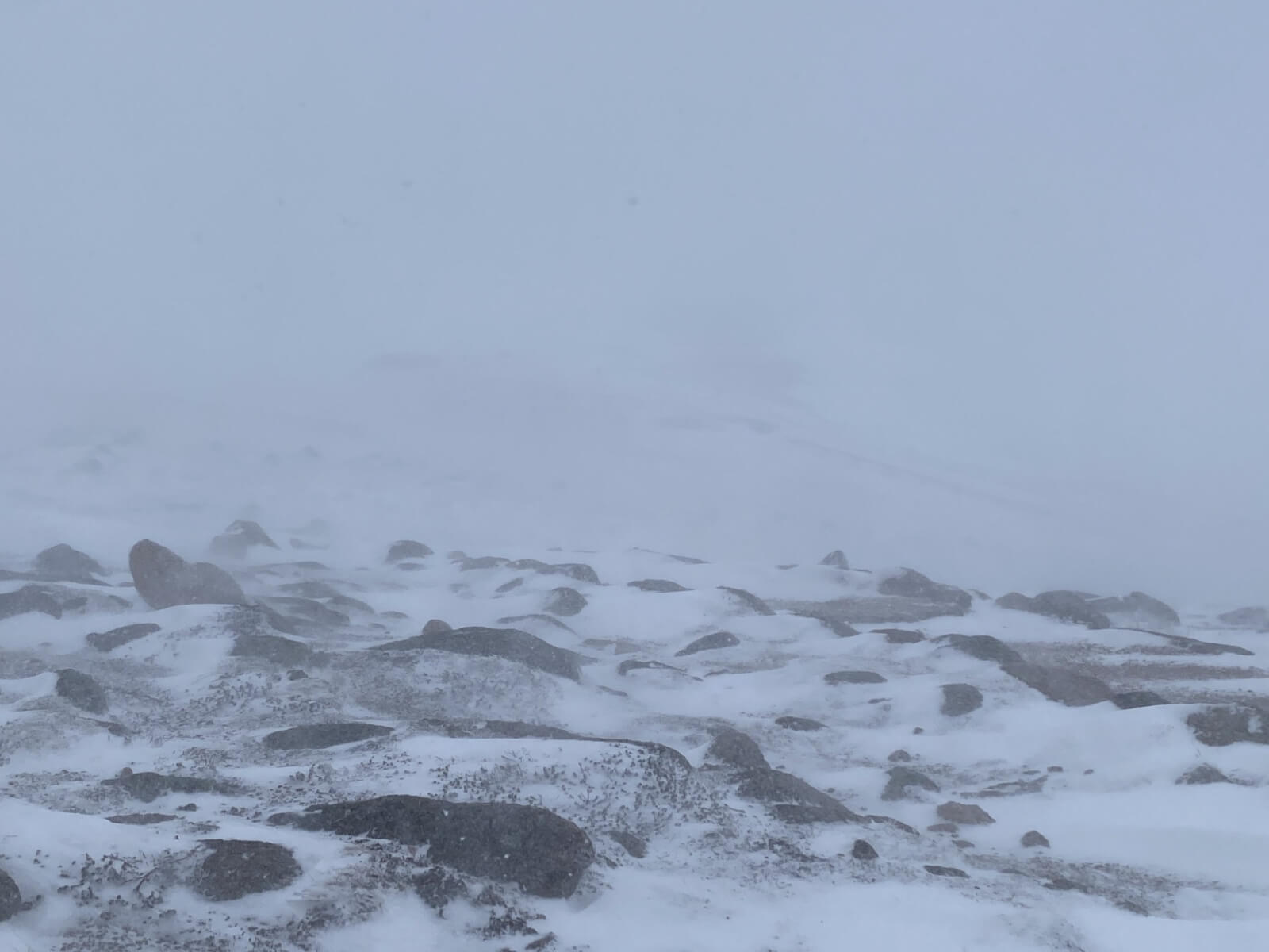
Conditions at 1000 metres a few minutes later.
Comments on this post
Got something to say? Leave a comment


