Warm temperatures
7th April 2026
Spring is in the air. The snowpack is diminishing in the warmer temperatures and sunshine. The recent windslab accumulations are slowly consolidating though weaknesses are still present in the deeper accumulations. Steep locations such as coire headwalls, gully tops and coire rims are most affected. (see report for more detail.)
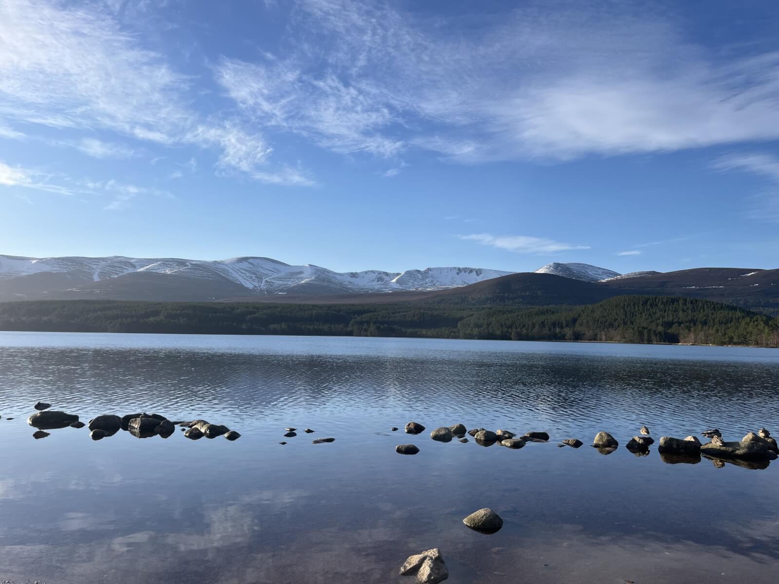
Morning view.
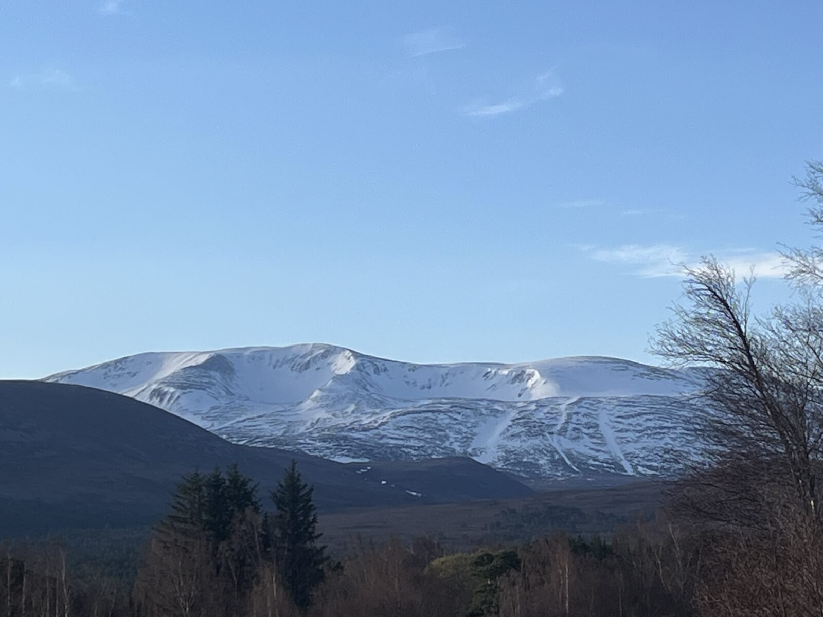
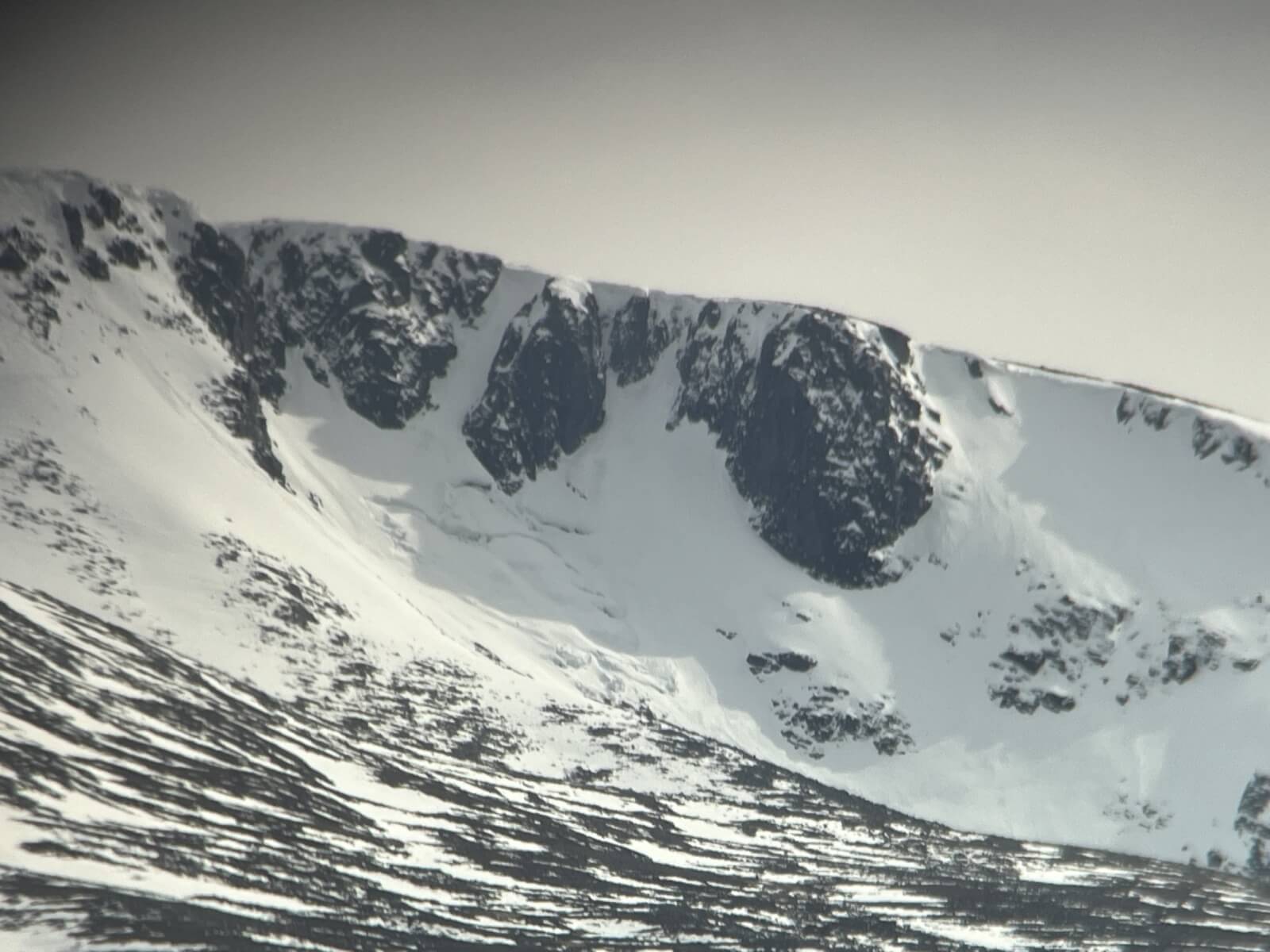
Northern coires of Braeriach.
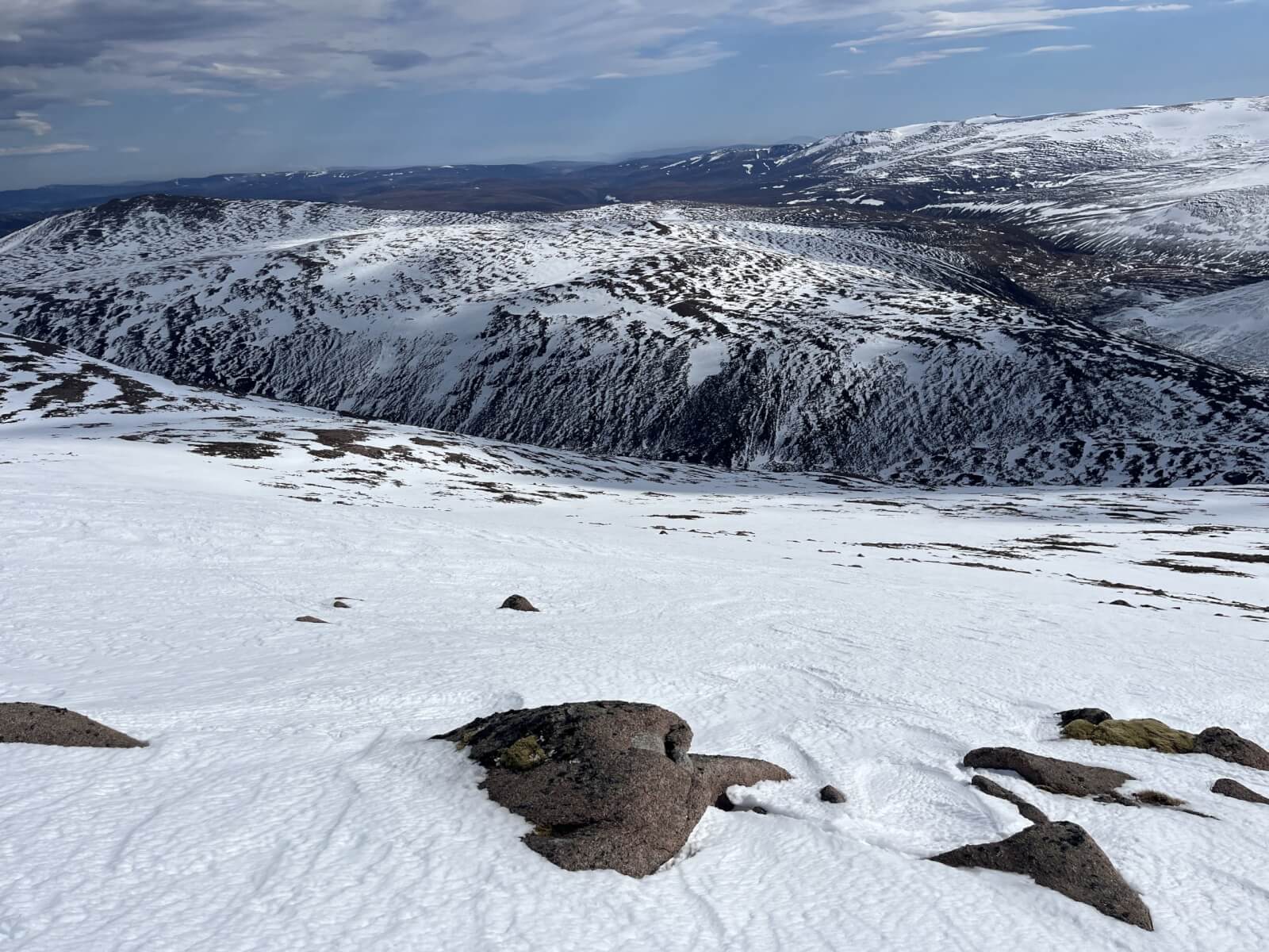
Snow cover east side of Cairngorm. Looking towards Strath Nethy and Bynack More
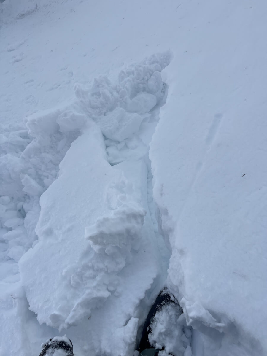
Moderately bonded weakness in the most recent windslab accumulations. Easterly aspect at around 1000 metres.
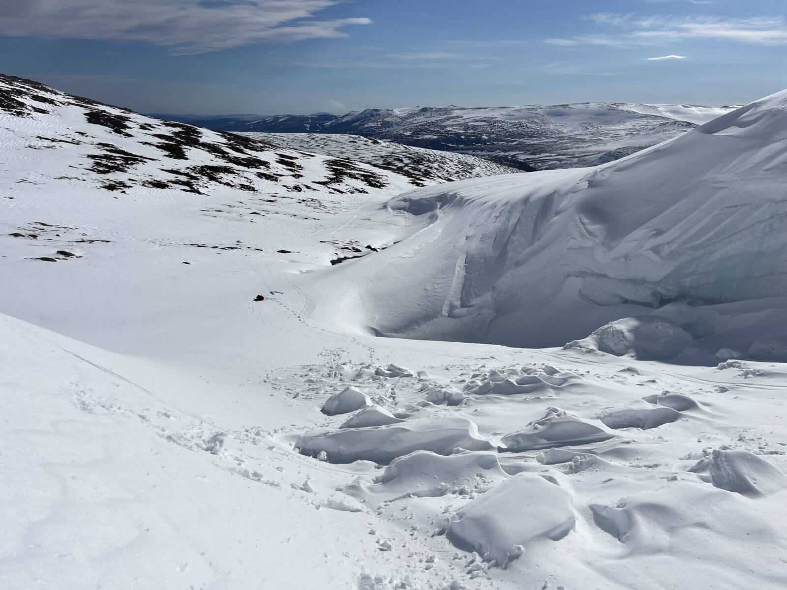
Cornice debris on an East-South-East aspect around 1050 metres. (Ciste Mhearad)
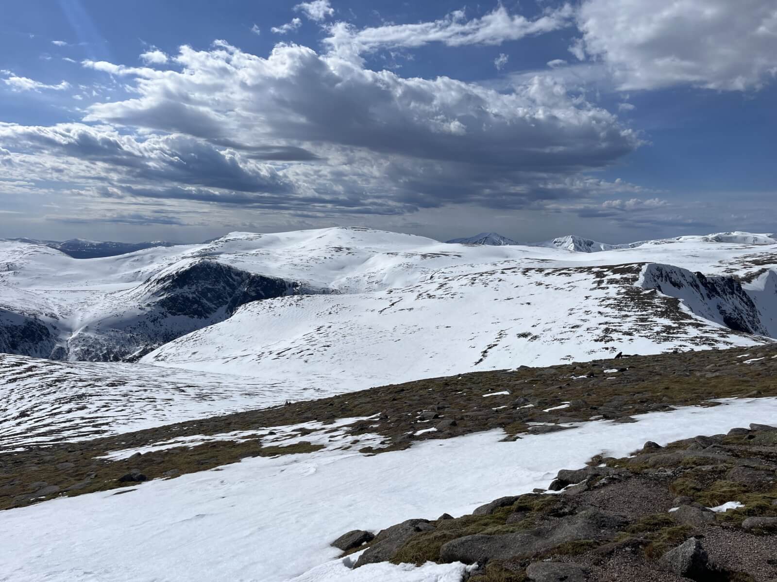
Snow cover looking across the plateau to Ben Macdui.
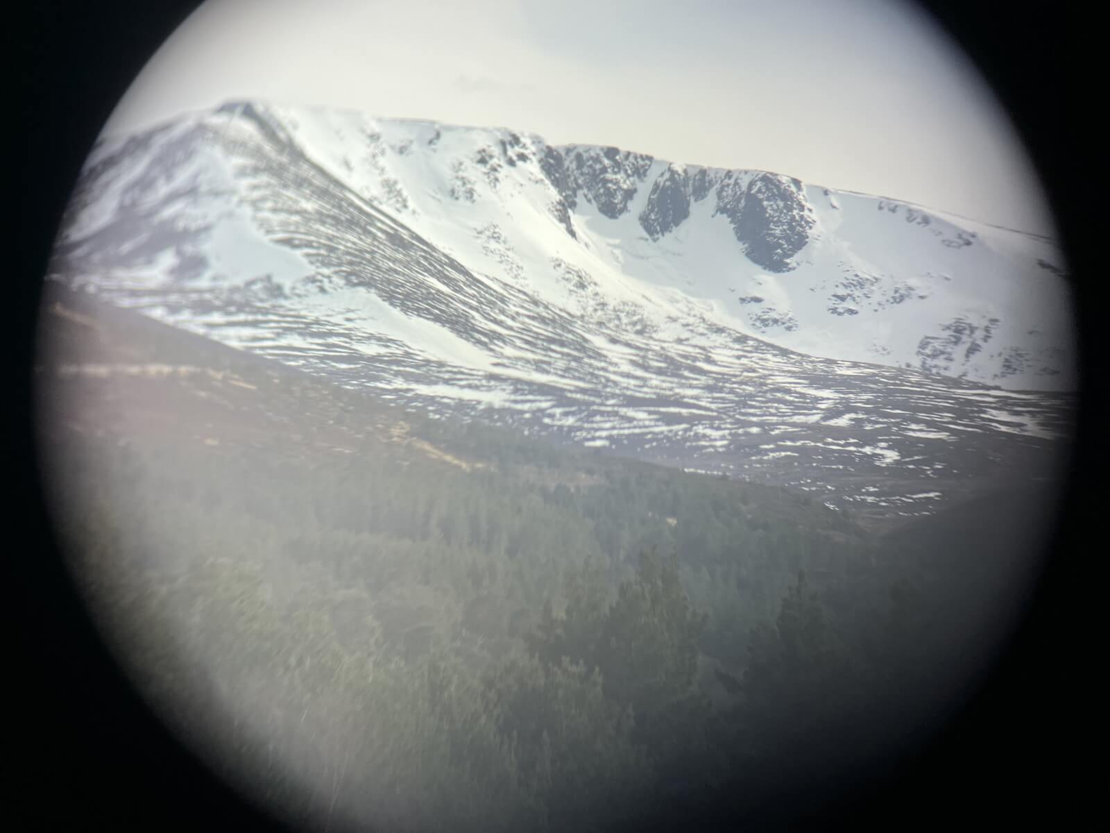
Coire an t-Sneachda.
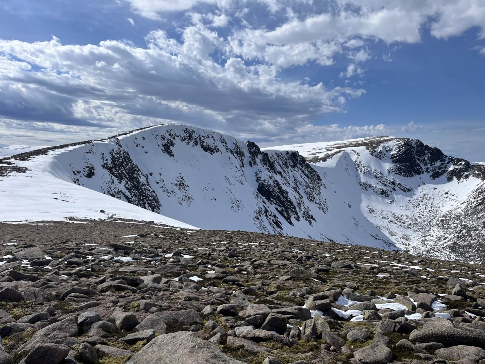
Coire an Lochain.
The warm temperatures are really increasing the possibility of full depth glide avalanche on the great slab of Coire an Lochain.
Comments on this post
Got something to say? Leave a comment


