Cold wind
14th April 2026
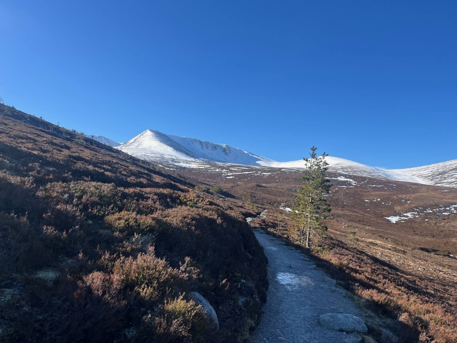
After an overnight frost the temperatures climbed quite quickly and it felt very much like spring in the glen.
High on the mountain there was a noticeable wind chill with the strong Southerly winds. Overnight snow showers have left a thin dusting of snow above 700 metres and some accumulations of poorly bonded windslab in wind sheltered locations above 950 metres.(see report for more detail).
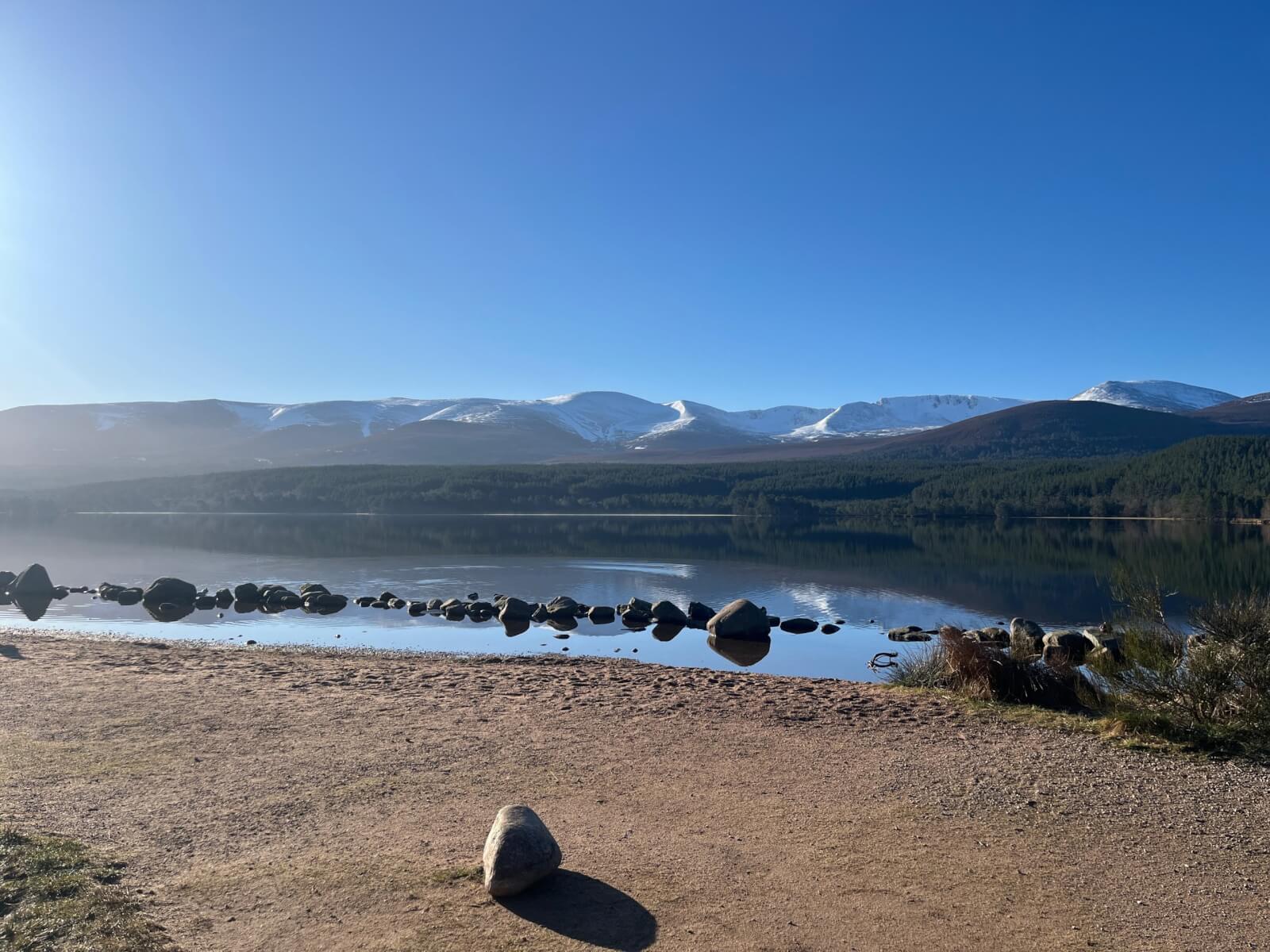
Morning view of Northern Coires.
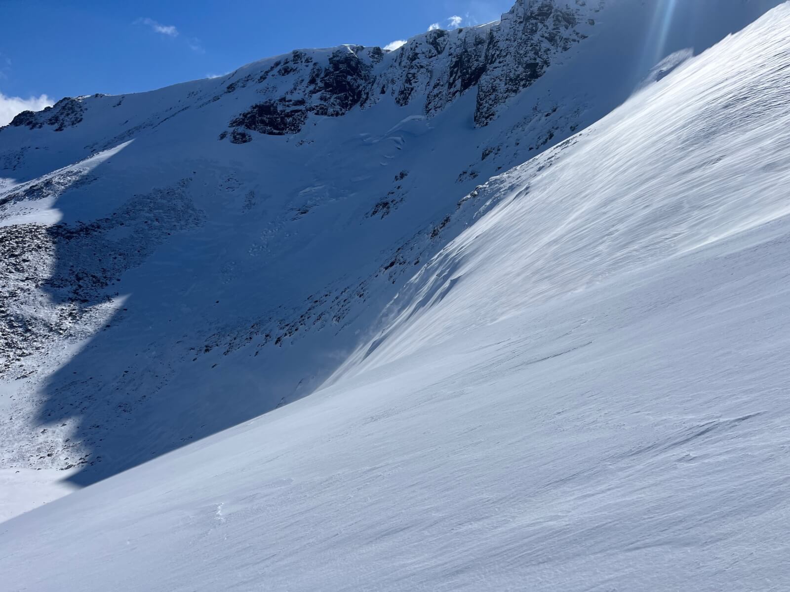
Coire an Lochain.
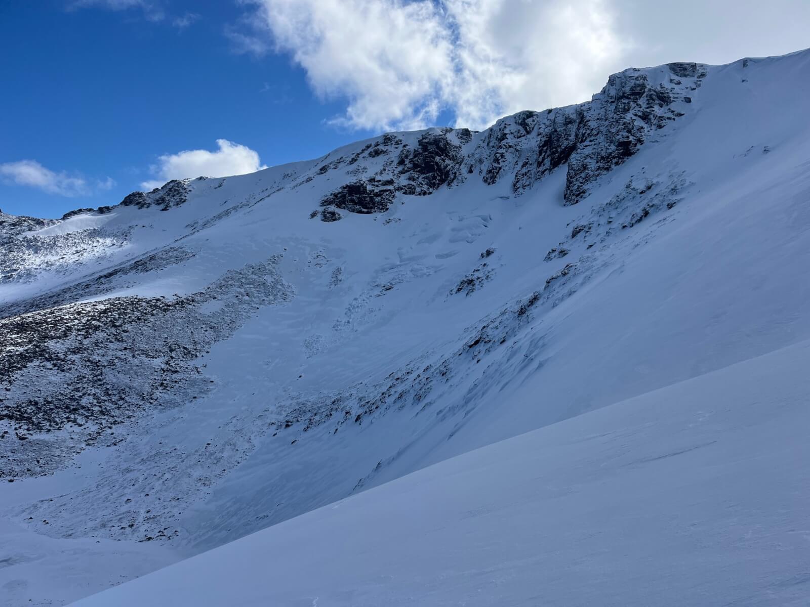
Glide tension cracks and avalanche debris on the great slab of Coire an Lochain. The upcoming thaw will once again see this location become progressively more unstable.
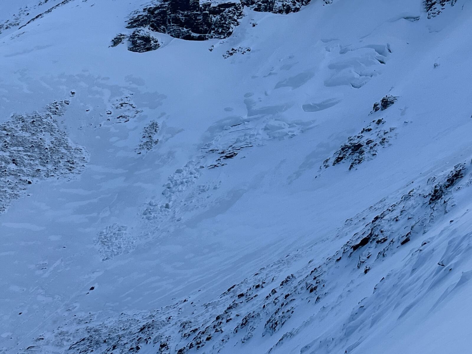
The darker shades of grey snow are firm and icy old snow, highlighted against the whiter more recent windslab.
Drifted accumulation of windslab in the foreground.
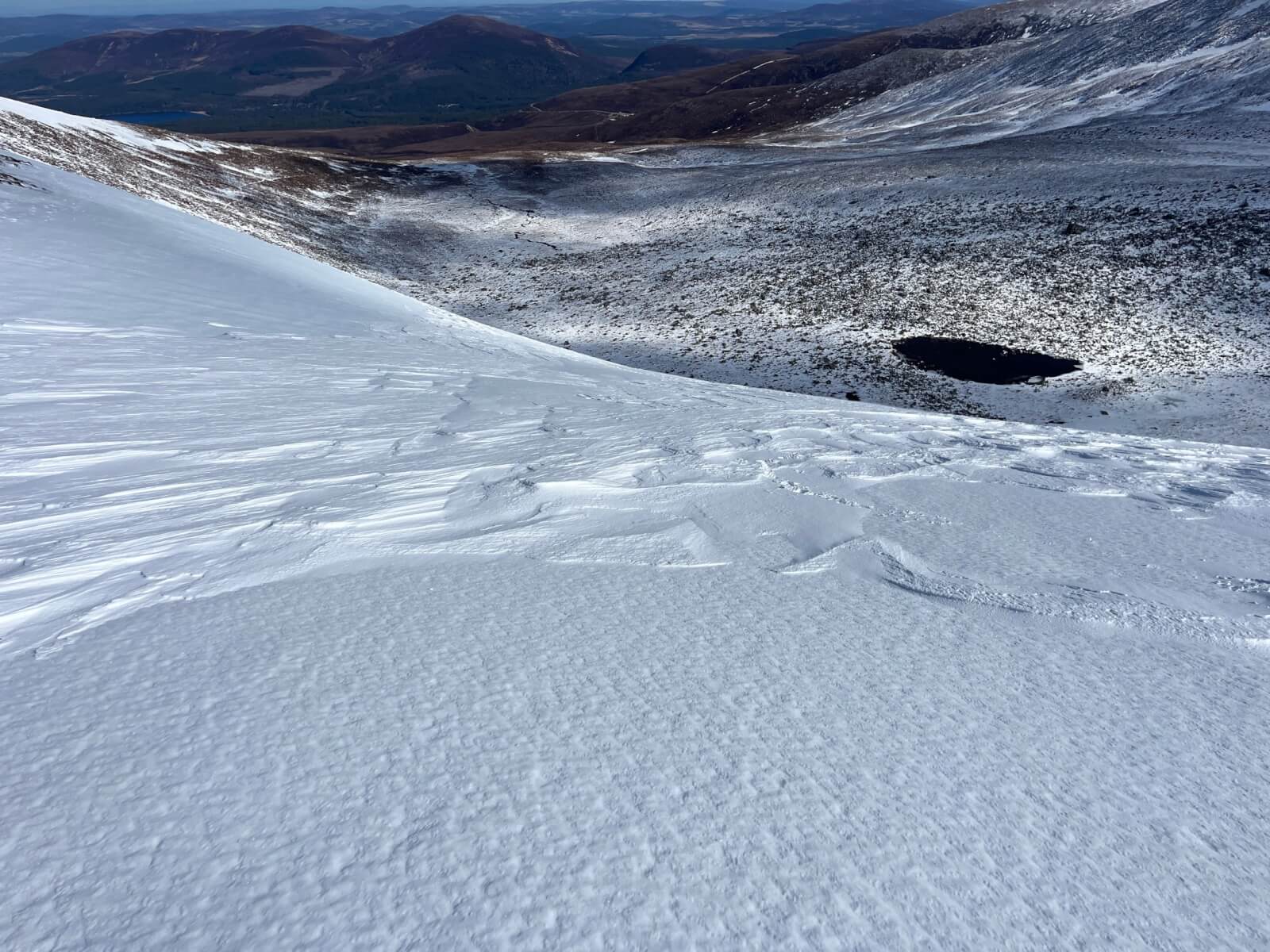
Signs of wind scouring.
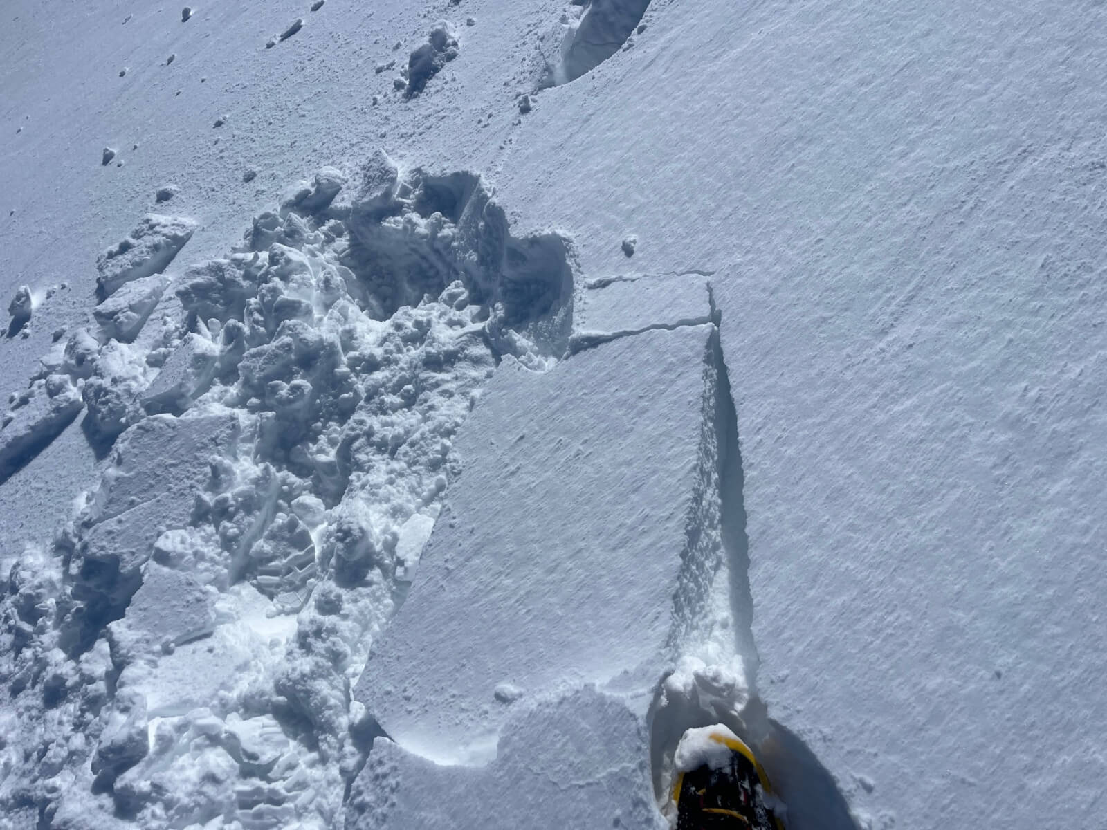
Cracking snow showing poorly bonded layers of fresh windslab.
Comments on this post
Got something to say? Leave a comment


