Persistent Instabilities
22nd January 2021
Covid -19
The Scottish Avalanche Information Service issues information to support permitted activity under current Scottish Government guidance.
Please be aware of current mandatory travel restrictions in Local Authority areas within Scotland and respect local communities by referring to Scottish Government guidance and safe route choices for exercise. For further guidance please refer to the following information for hillwalkers and climbers and snowsports on ski and board.
This blog is intended to provide hazard and mountain condition information to help plan safer mountain trips.
Another day of poor visibility but calmer conditions with moderating winds. This allowed us to make some observations at higher elevations and visit Coire Cas and Coire an t-Sneachda.
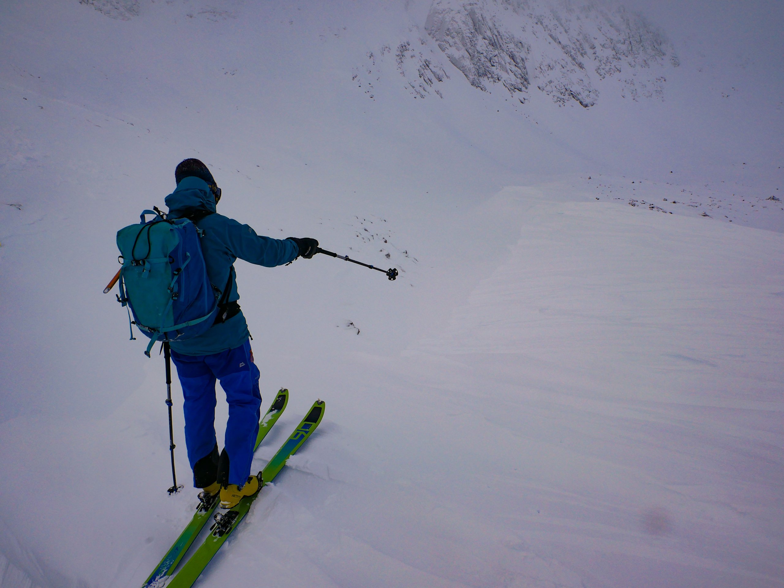
Yesterdays snow has resulted in deep drifting with the snow fences doing their work on Cairngorm Mountain. Windslab development continues and a softer weak layer underneath this slab is widespread. This situation is likely to persist in the cold temperatures.
Another cold day in prospect for tomorrow with another gloomy arctic circle feel.
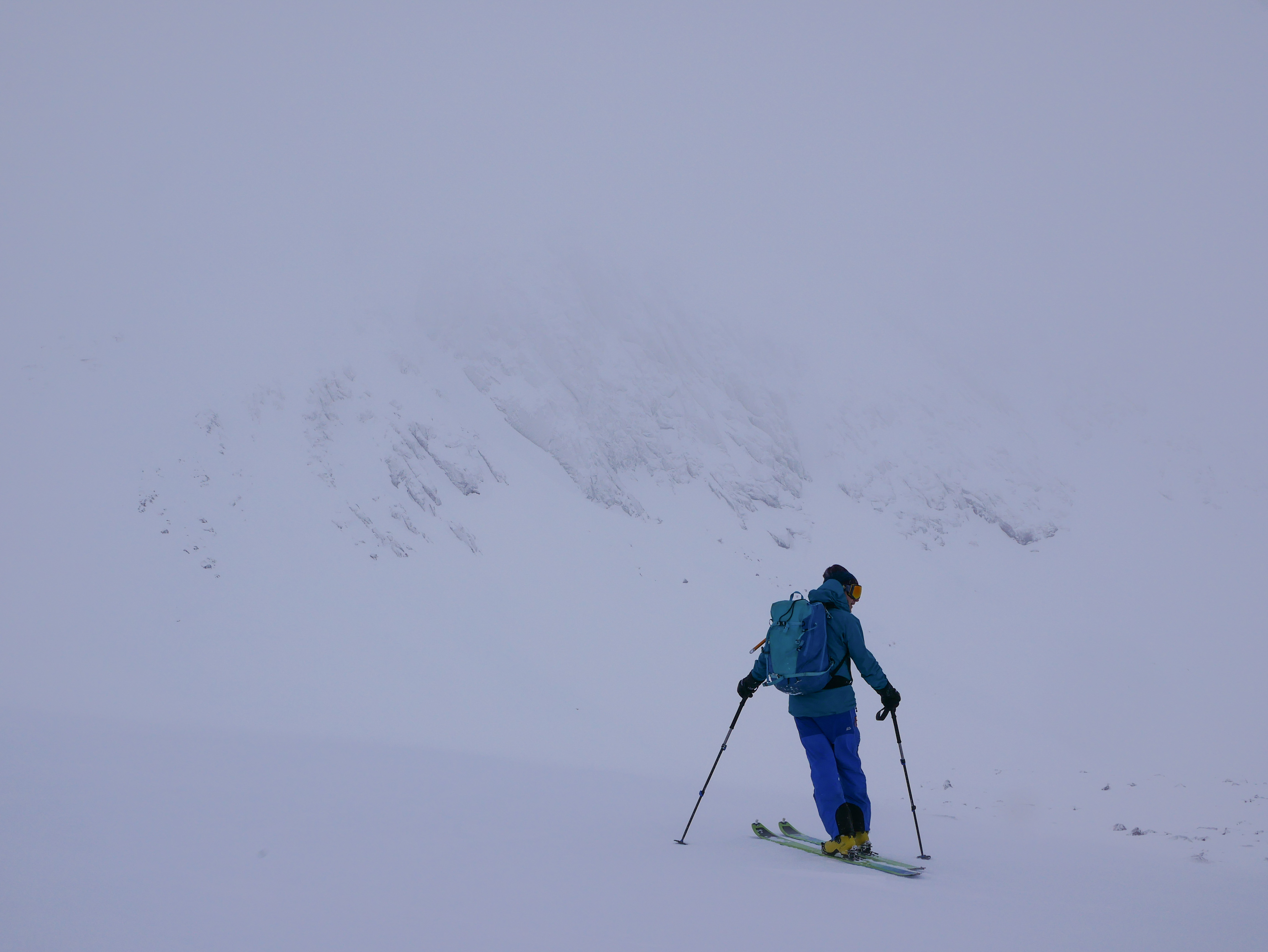
Looking into Coire an t-Sneachda from the lateral moraines.
There has been fresh cornicing and wind scoop development in many wind sheltered locations in the last 24 hours. Cornices are prone to collapse and in this case there is large drop that simply didn’t exist a few days ago. Very much a hazard in poor visibility (this photo has been tweaked, it was very difficult to spot today in the flat light).

Todays obligatory cracking windslab image. Again demonstrating that there is a soft weak layer below more cohesive windslab.
Comments on this post
Got something to say? Leave a comment


