A Potent Low Pressure System
10th March 2021
Covid -19
The Scottish Avalanche Information Service issues information to support permitted activity under current Scottish Government guidance.
Please be aware of current mandatory travel restrictions in Local Authority areas within Scotland and respect local communities by referring to Scottish Government guidance and safe route choices for exercise. For further guidance please refer to the following information for hillwalkers and climbers and snowsports on ski and board.
This blog is intended to provide hazard and mountain condition information to help plan safer mountain trips.
A potent low pressure is sweeping across the UK, with some wild weather in prospect for the next 48 hours or so. There was significant precipitation overnight on storm force winds. In fact, a gust of 101 mph was recorded on the summit of Cairngorm.
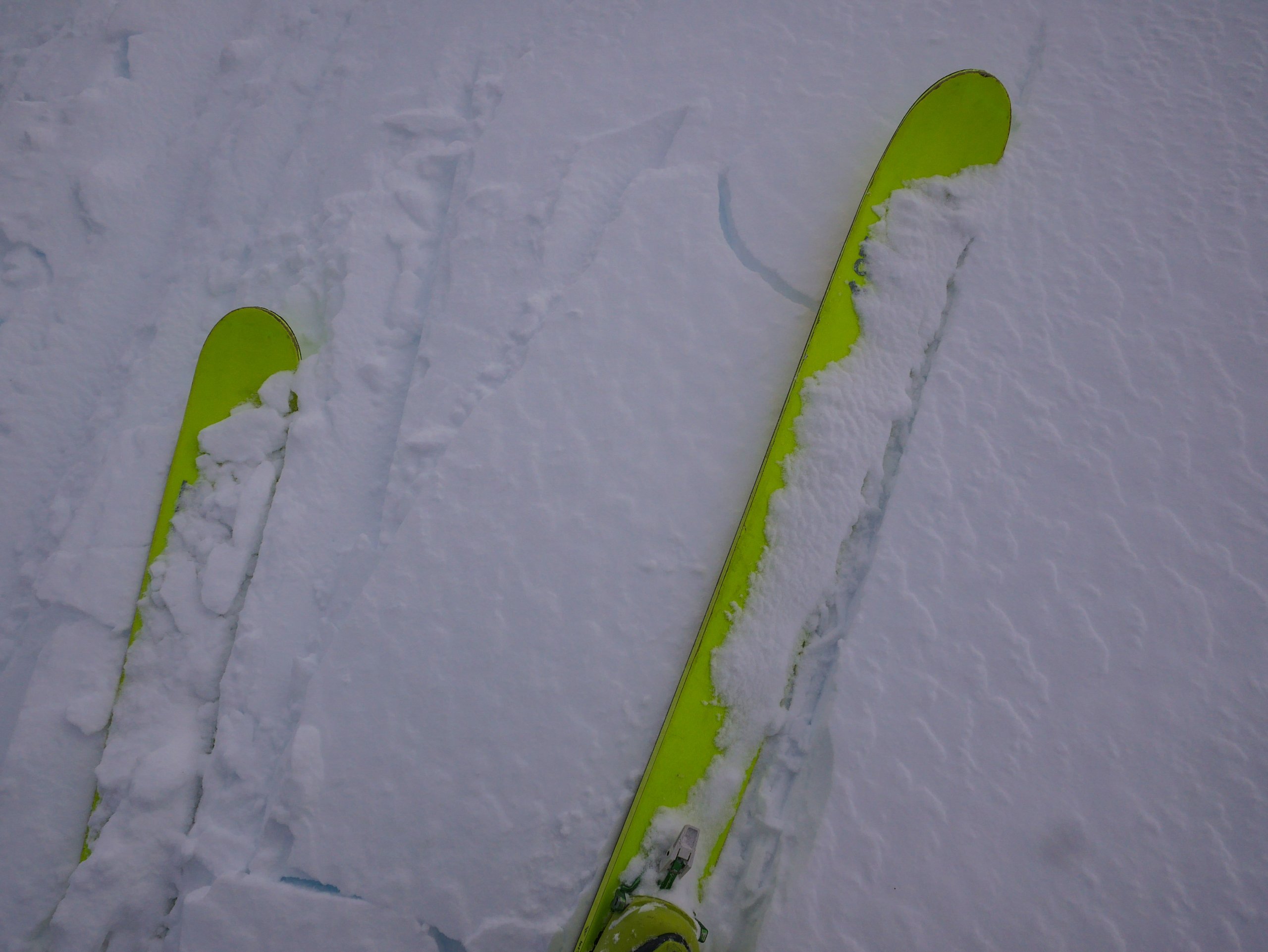
In Coire Cas, it was still fairly burly today and difficult to make progress into the corrie. Here at my formal snow pit site there was approximately 60cm of new moderately bonded windslab, with a poorly bonded layer of thin windslab on top (pictured under the skis below). This is all new to the snowpack, and in steep sheltered locations we can expect more windslab notably on North to East aspects, where the avalanche hazard will be Considerable above 1000 metres.
Below this level accumulations are often shallower, as the slopes have been blasted by the wind. But fresh windslab will be deposited in sheltered spots. This marks a significant change from the last week or so, where the conditions have been pleasant, some might even say benign.
Although this is Scotland, so the word benign with respect to the weather or prevailing conditions is arguably erroneous. Finally, if you are of a slightly younger demographic that communicates by memes and emojis, I am going to use 🌶 and suggest reading the full forecast for the Northern Cairngorms here.

At lower elevations the story is quite different with just small shallow accumulations of fresh snow. The firm and icy surface remains. Travel on ski was tortuous for Forecasters with orthopaedic metal work holding their Tibia’s together.

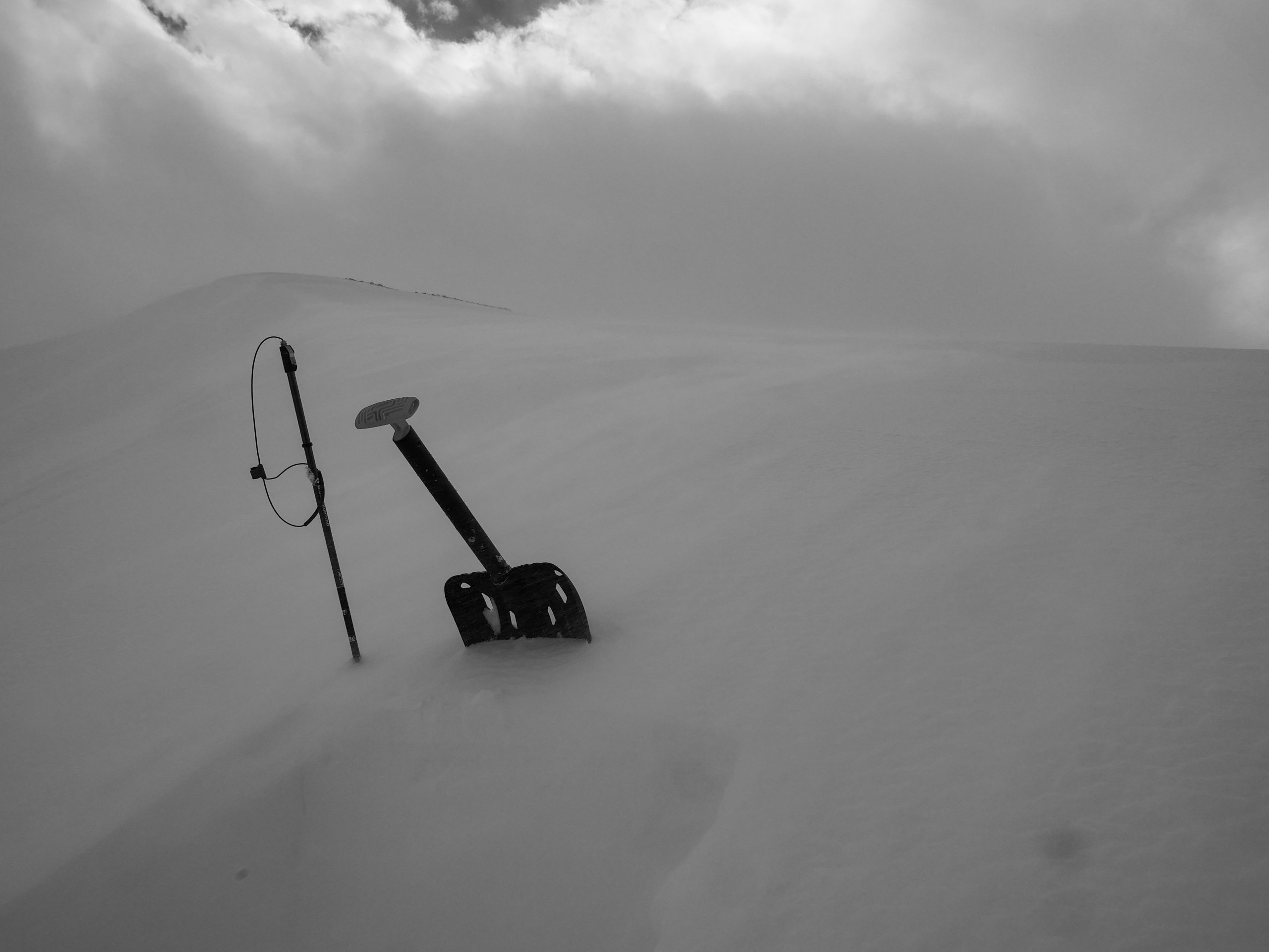
View from the snow pit today as it cleared briefly. There is approximately 60cm of new windslab that has been deposited since yesterday.
Comments on this post
Got something to say? Leave a comment


