Heavy Drifting
26th March 2021
Covid -19
The Scottish Avalanche Information Service issues information to support permitted activity under current Scottish Government guidance.
Please be aware of current mandatory travel restrictions in Local Authority areas within Scotland and respect local communities by referring to Scottish Government guidance and safe route choices for exercise. For further guidance please refer to the following information for hillwalkers and climbers and snowsports on ski and board.
This blog is intended to provide hazard and mountain condition information to help plan safer mountain trips.
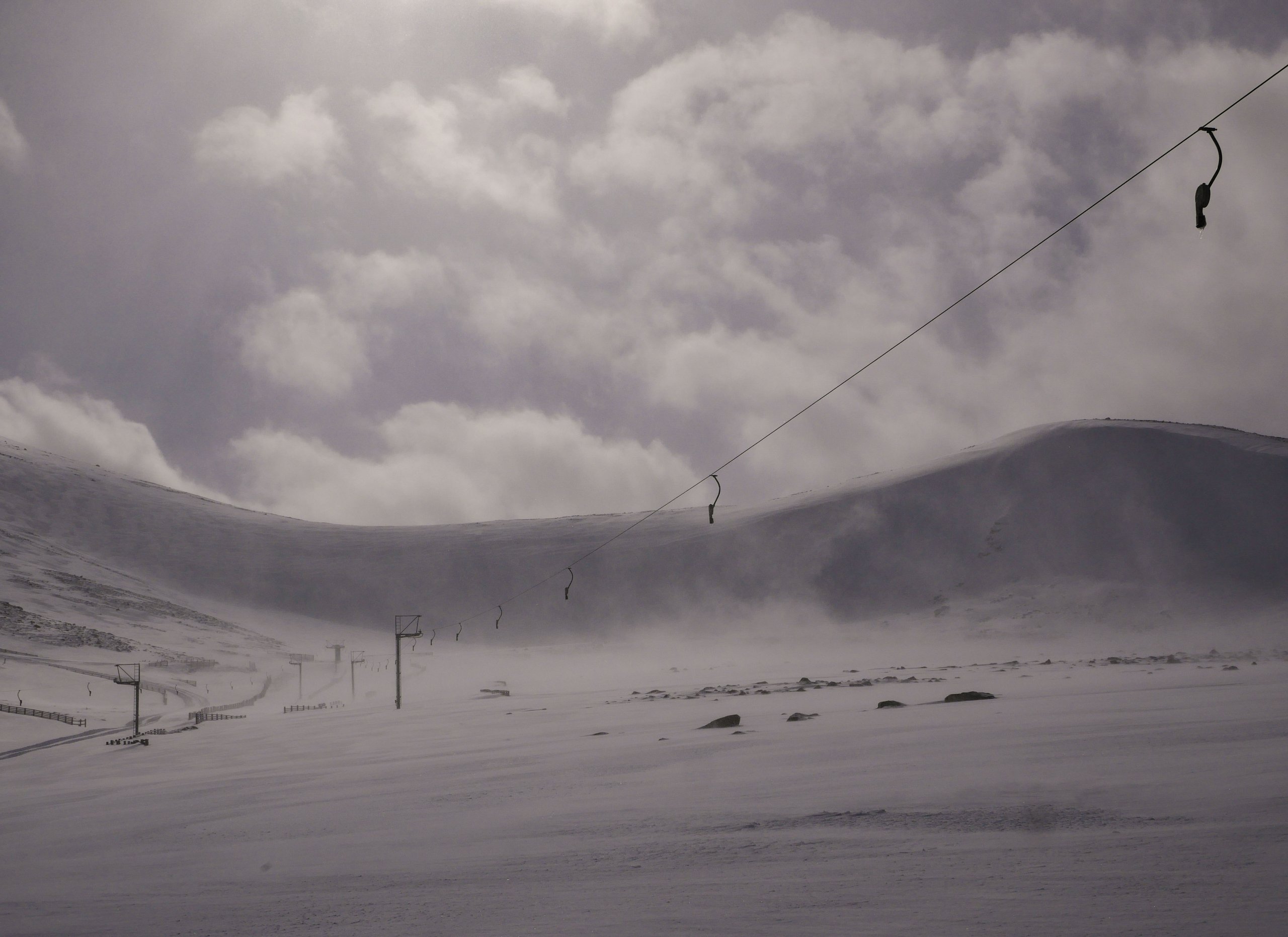
Another day of squally showers coming in on strong South-Westerly winds. These showers occurred overnight and throughout the day falling as low as 600 metres. This has led to a dusting of light snow in places at lower elevations, but the most important accumulations are those that overlie the existing snowpack above 900 metres.
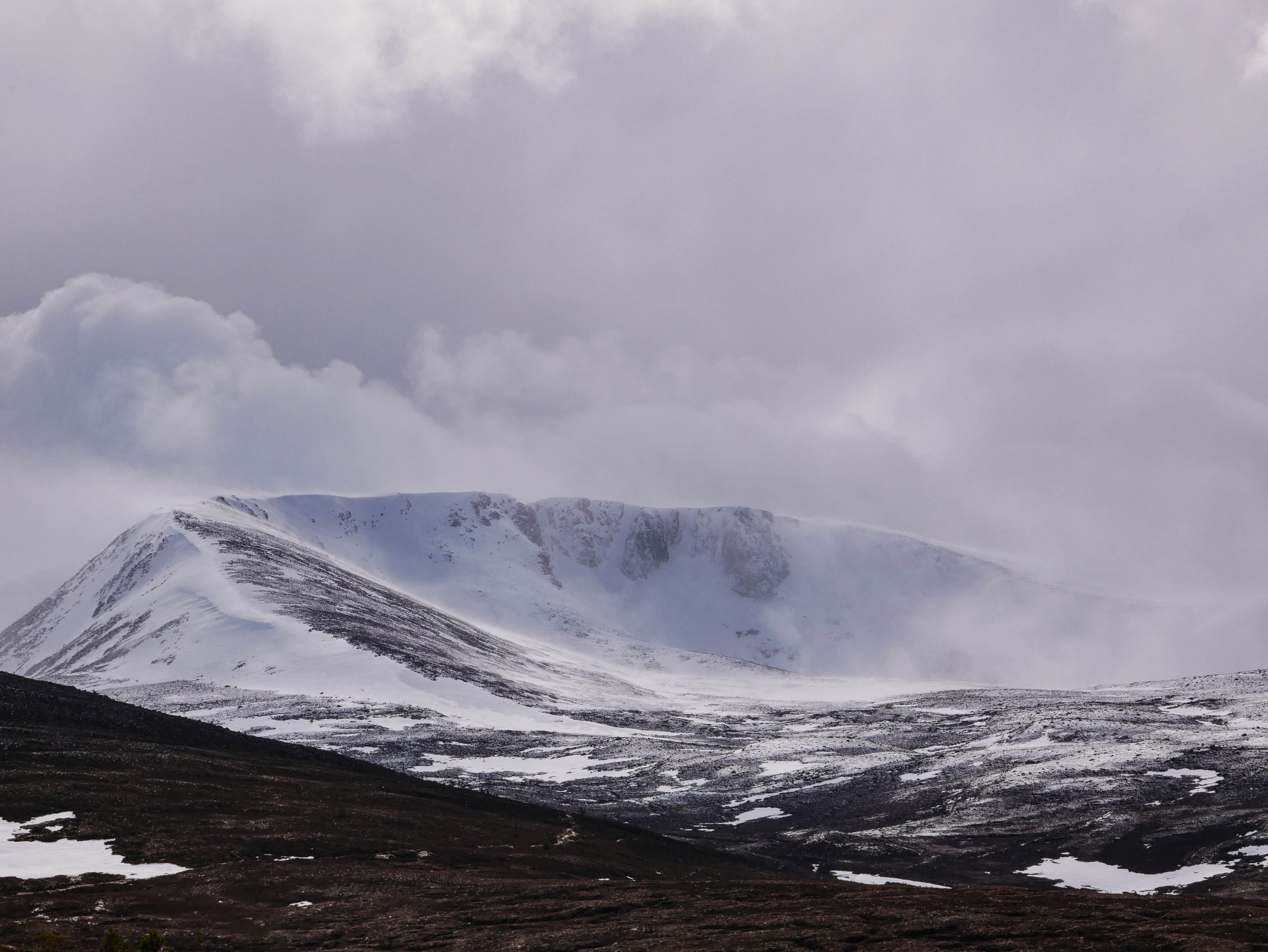
Here there are accumulations of windslab which are moderately bonded to the older snowpack. These accumulations will continue to gain depth due to heavy drifting and will present the greatest hazard in steep wind sheltered locations of a North through East to South-East aspect above 900 metres. Coire rims, headwalls gullies and crag aprons will be particularly affected.
Winter isn’t quite over yet, with some colder temperatures in prospect for the next couple of days. The Northern Cairngorms forecast can be found here: https://www.sais.gov.uk/northern-cairngorms/

A brief window in the weather allowing a view into Coire an Lochain with snow transportation visible again.
Comments on this post
Got something to say? Leave a comment


