More Snow Forecast
11th March 2021
Covid -19
The Scottish Avalanche Information Service issues information to support permitted activity under current Scottish Government guidance.
Please be aware of current mandatory travel restrictions in Local Authority areas within Scotland and respect local communities by referring to Scottish Government guidance and safe route choices for exercise. For further guidance please refer to the following information for hillwalkers and climbers and snowsports on ski and board.
This blog is intended to provide hazard and mountain condition information to help plan safer mountain trips.
Another day of gale force to strong winds with snow showers throughout the day. The same is in prospect for tomorrow, with a stormy trend set to continue.
I battled into Coire an t-Sneachda to the edge of the corrie, just before it dips down towards the lochans. I refer to this spot as the “Event Horizon”, because it seems regardless of the forecast weather, the laws of physics don’t apply here. The chances are it will be difficult to stand up in ferocious winds. Having confirmed that this was indeed the case, my sortie took me over the Fiacaill a’Choire Chais and into Coire Cas.
Here my formal pit confirmed more fresh windslab accumulations. Interestingly, the freezing level was higher than forecast for a time last night, before dropping. This has created a thick icy crust, stabilising these accumulations slightly in many locations. Although, in very steep wind sheltered locations above 1000 metres moderately bonded windslab remains and more will be deposited, mainly on North through East to South-East aspects.
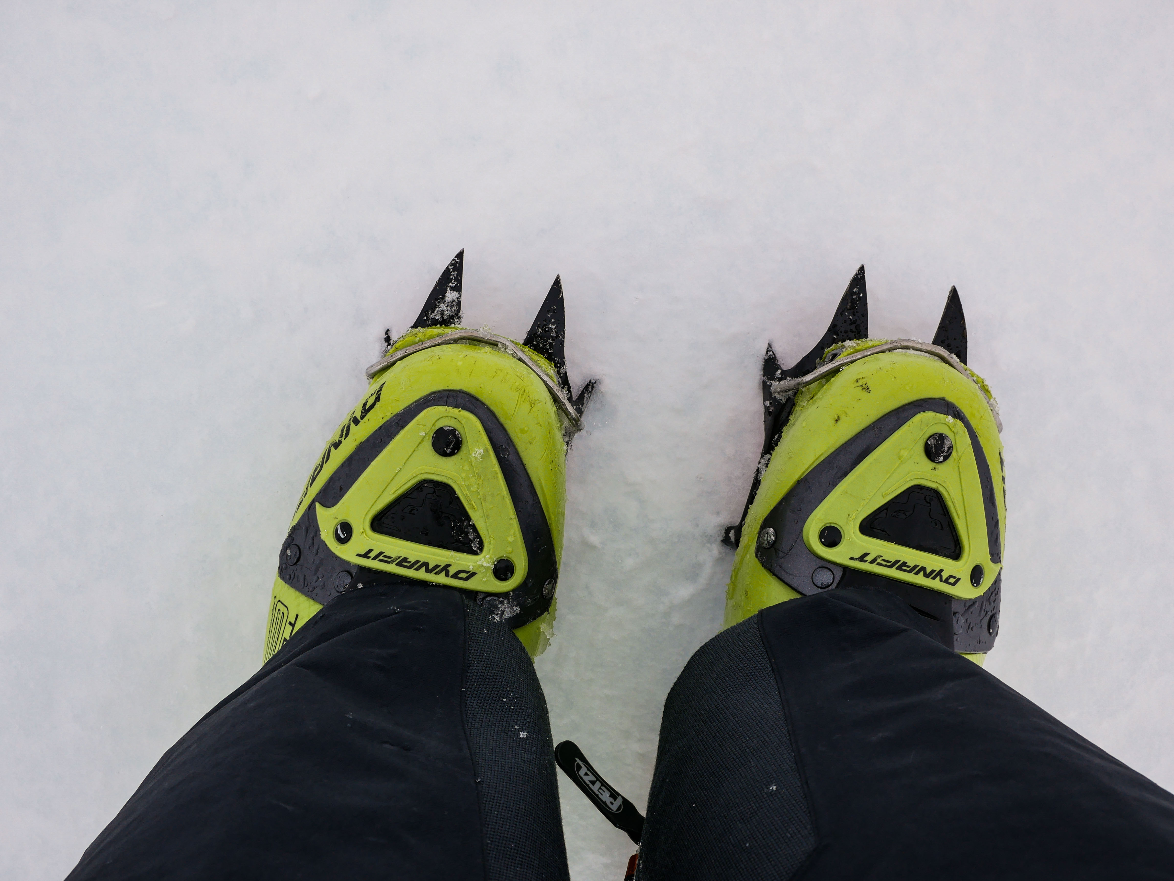
In many places the firm icy surface is ideal for cramponing, especially where slopes have been exposed to the storm to gale force winds of the last few days.

Crampons were definitely the tool of choice today. It was much easier to move around on foot on the icy snow surface not to mention the high winds. [Note: This was disappointing as I decided to take skis].

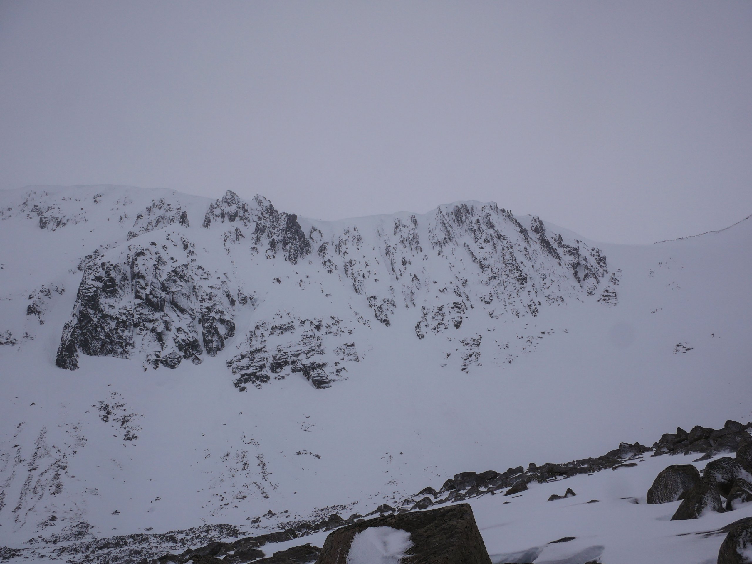
Alladdin’s Buttress and the gullies in Coire an t-Sneachda. There was a little bit of debris at the base of Central Gully which might not be visible in this image.
Comments on this post
Got something to say? Leave a comment


