The cold airmass continues
11th April 2021
Covid -19
The Scottish Avalanche Information Service issues information to support permitted activity under current Scottish Government guidance.
This blog is intended to provide hazard and mountain condition information to help plan safer mountain trips.
A generally dry day with occasional light snow showers later. Visibility was good for the most part unless you were enveloped in one of the showers that tracked through.
Following the snowfall of the last 24 hours there is a thin veneer of cold, light snow overlying the old firm snowpack. In most places this makes travel quite pleasant, but it remains firm and consequential in the event of a fall or slip in steep locations.
The cold arctic maritime airmass will continue to be a feature of the coming days. As such little change is expected. The freezing level will fluctuate, rising to 800 metres in the Northern Cairngorms. However, in practice the snow will remain cold from around glen level upwards, so visibly the picture will remain arctic.
For example today the temperature was -9 degrees on Cairngorm in the morning, while the snow surface was -7.6 degrees in Coire Cas at 1000 metres. The air temperature at the same location was -6.8 degrees.
Although cold, there is a bright and sunny day in prospect tomorrow.

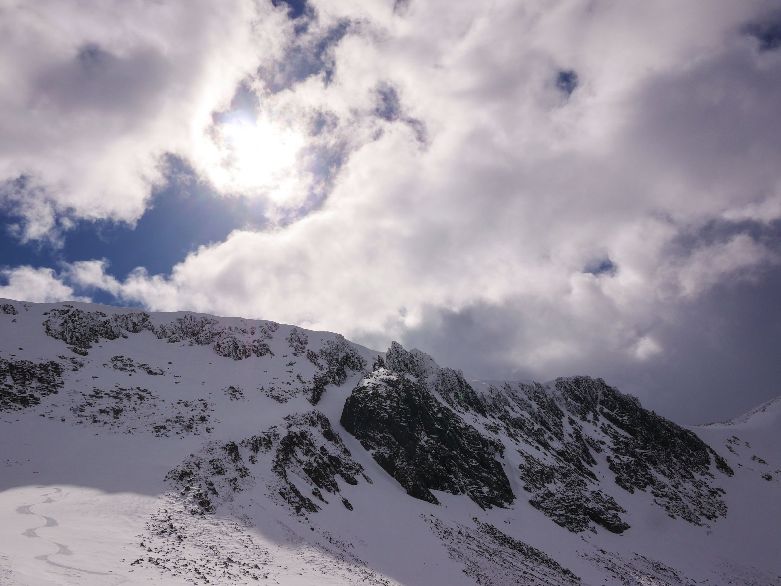
Looking back into Coire an t-Sneachda. The snow cover is patchy but good above 950 metres.

Alladin’s Buttress Coire an t-Sneachda. The snow is firm and icy due to the cold temperatures. In many places it is covered in some fresh snow from the light showers of the past 24 hours. It remains unforgiving underneath.

Looking down Coire Raibert towards Loch Avon and Stacan Dubha. This South aspect is a good example of the prevailing avalanche situation at the moment. Fresh windslab is present here on the right hand side of the image. It is however isolated and the old, firm and icy snowpack is visible glinting in the sun. Particular care is required in these steep locations as you just need a small patch of windslab to take you off you feet resulting in a consequential fall onto hard snow or into boulders.

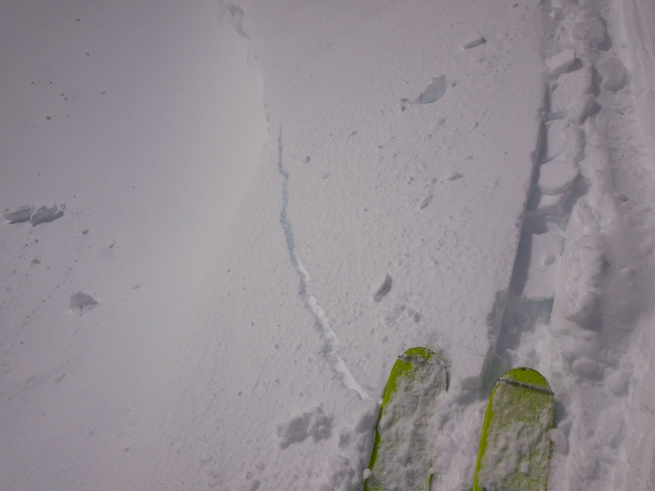
Cracking windslab. Just found in one isolated very steep spot close to an edge today.
Comments on this post


