Situation Normal in the Cairngorms – Windy
26th January 2022
Todays sortie above the relative shelter of Glenmore Forest took me into Coire an t-Sneachda in the quickly strengthening South-Westerly winds.
The snow remained firm in many locations and will become hard and icy again tomorrow as the freezing level rapidly descends overnight. We are due some precipitation, falling as snow above 800 metres, although amounts are expected to be small.
With strong winds for the duration and a little fresh snow, the picture should look a bit more like winter tomorrow. That said the major hazard will be the old snowpack remaining hard and icy. Any new snow will just be a cosmetic dusting, with any shallow accumulations being limited in extent and inconsequential.
With rain at elevations in the evening, we might see some verglas (ice) covering bare ground, especially in high plateau areas.
So high winds in the Cairngorms means situational normal. The Greek island of Kalymnos however has just had snow for the first time in sixty years…!
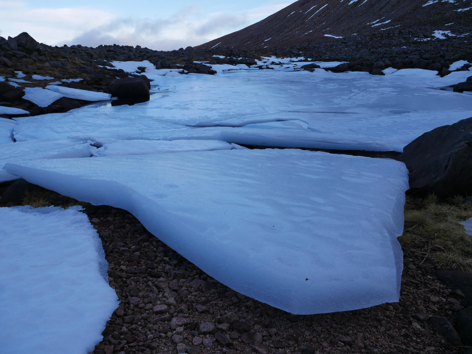
Some beached blocks of ice that ordinarily would make up a Lochan in Coire an t-Sneachda.

Looking down into Coire an t-Sneachda from Windy Gap. It is lean, but a handful of parties were out climbing the remaining snow ice (Neve).

Looking over to the tors of Beinn Mheadhoin.

Cairn Gorm viewed from Windy Gap, so we are looking at West to South-Westerly slopes here.

Regular visitors to the blog will have seen the windsock before. Most CAA windsocks indicate a 15 knot windspeed or greater. So late afternoon the gusts at Glenmore Lodge were about 17 mph or 28 km/hr. While on Cairn Gorm the maximum gust recorded this morning was 90 mph.
Comments on this post
Got something to say? Leave a comment


