A bit more winter.
6th February 2022
It was another cold wintery day with showers falling as snow at all levels. Although the hills (and glens) are looking white, snow cover is still limited and generally shallow. With rising temperatures forecast tomorrow, I suspect it won’t be long before the hills are back to black. However, it is not all bad news with colder temperatures forecast to return mid-week. Is winter finally getting it’s act together, lets hope so.
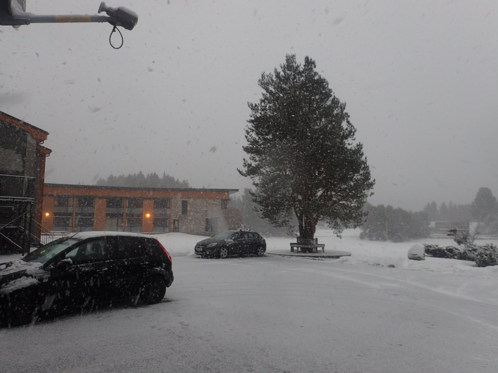
There were some showers through the day which fell and settled as snow at lower levels.Â
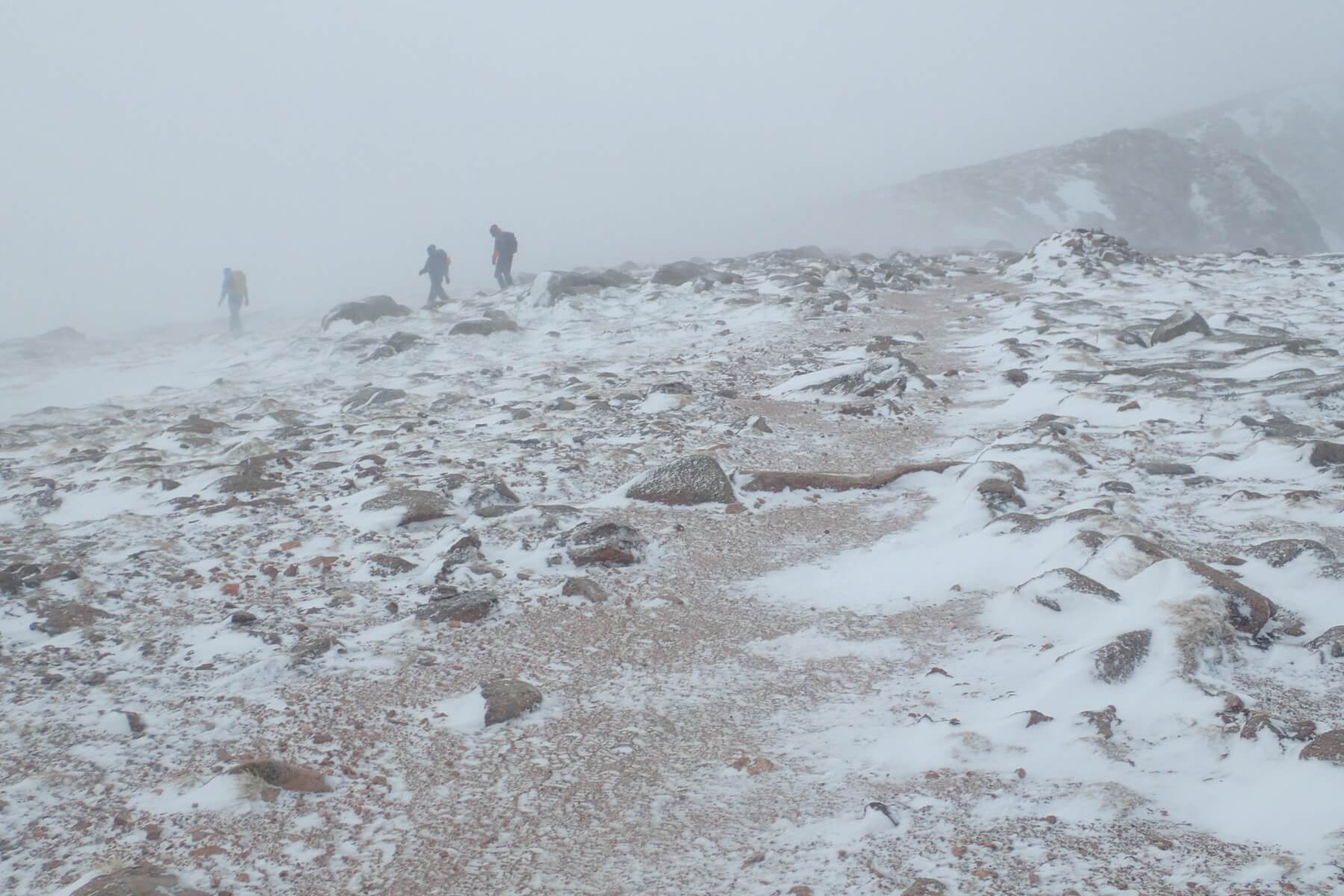
Conditions on the Cairngorm plateau. Windy col was living up to it’s name.Â
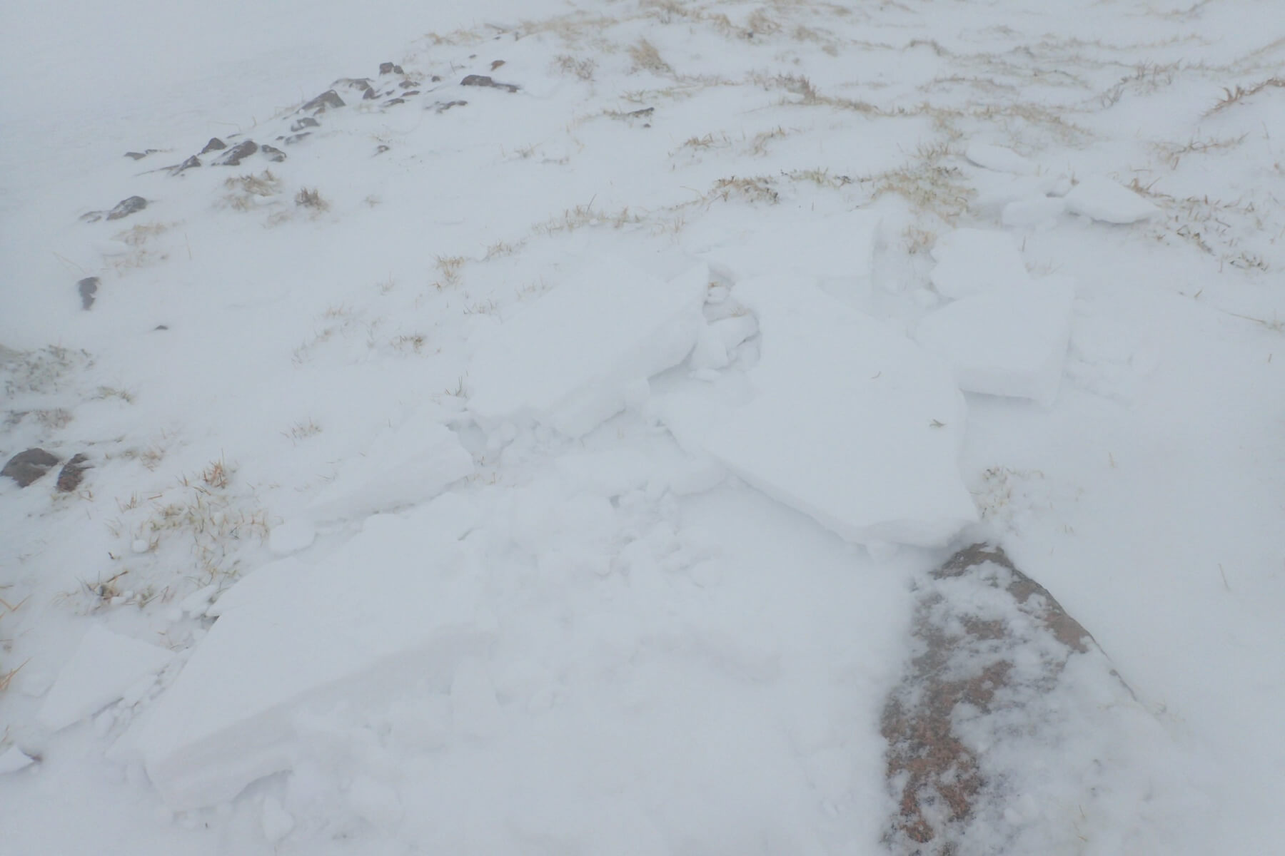
Signs of instability. I stepped on a small wind drift which fractured and slid away. Â However, as can be seen in the photo and the one below there was little snow on this slope. Observations like this help build up a picture of the overall avalanche hazard in the landscape. The picture sums up the current snowpack situation, Â a few poorly bonded but generally small and isolated areas of fresh windslab, elsewhere very limited snowpack. Â
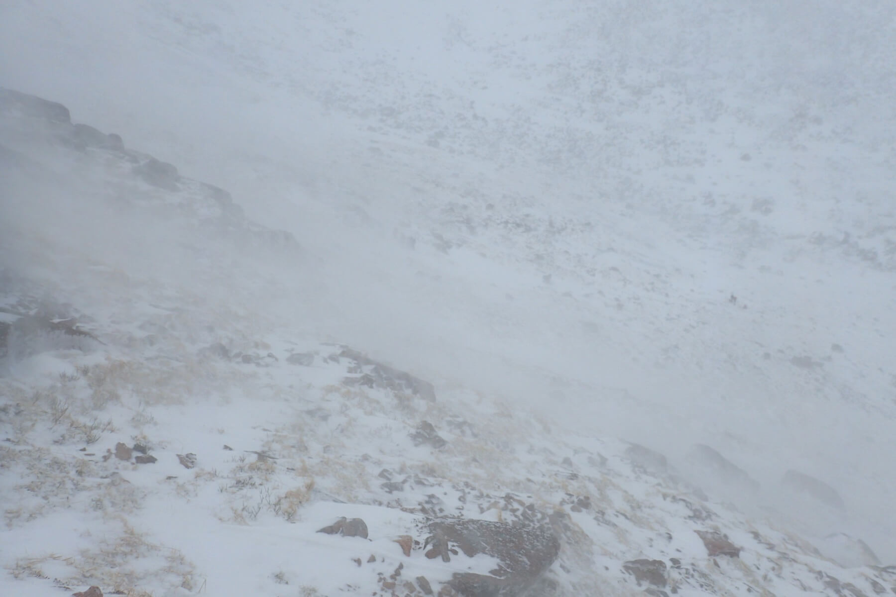
Descending the Goat Track. You can tell from the small wind tale in the foreground that the wind was blowing right to left, which in this case is from North. At times the wind was locally from the North-East. Â This is despite the overall wind direction being from the West or just slightly North of West. Local wind effects such as this can sometimes deposit localised patches of windslab in unexpected places, something to be aware of. Â Â
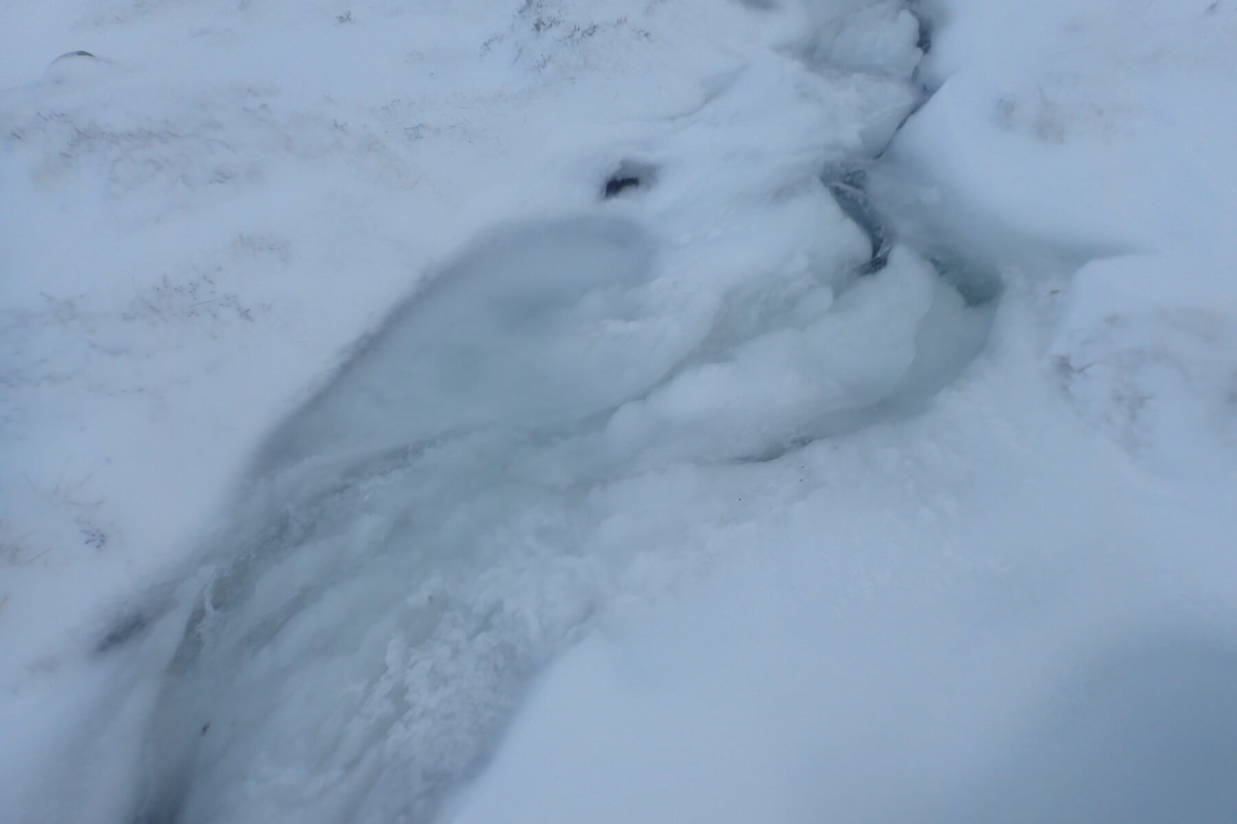
It was a cold day. Here the burn out of Coire an t-Sneachda getting blocked up with slush.Â
Comments on this post
Got something to say? Leave a comment


