Some Sunshine, Lots of Wind.
8th March 2022
It was another sunny but windy day. Any soft snow that remained after yesterday’s breeze was redistributed in today’s gale. Much of the soft snow is been blown of the hill, and just dissipated back into the atmosphere. However, in sheltered locations there are areas of windslab. These don’t tend to particularly deep, but can be enough to catch people out as seen on the Cas headwall yesterday. In most locations the snowpack is scoured, and it hard icy and stable (crampons required).
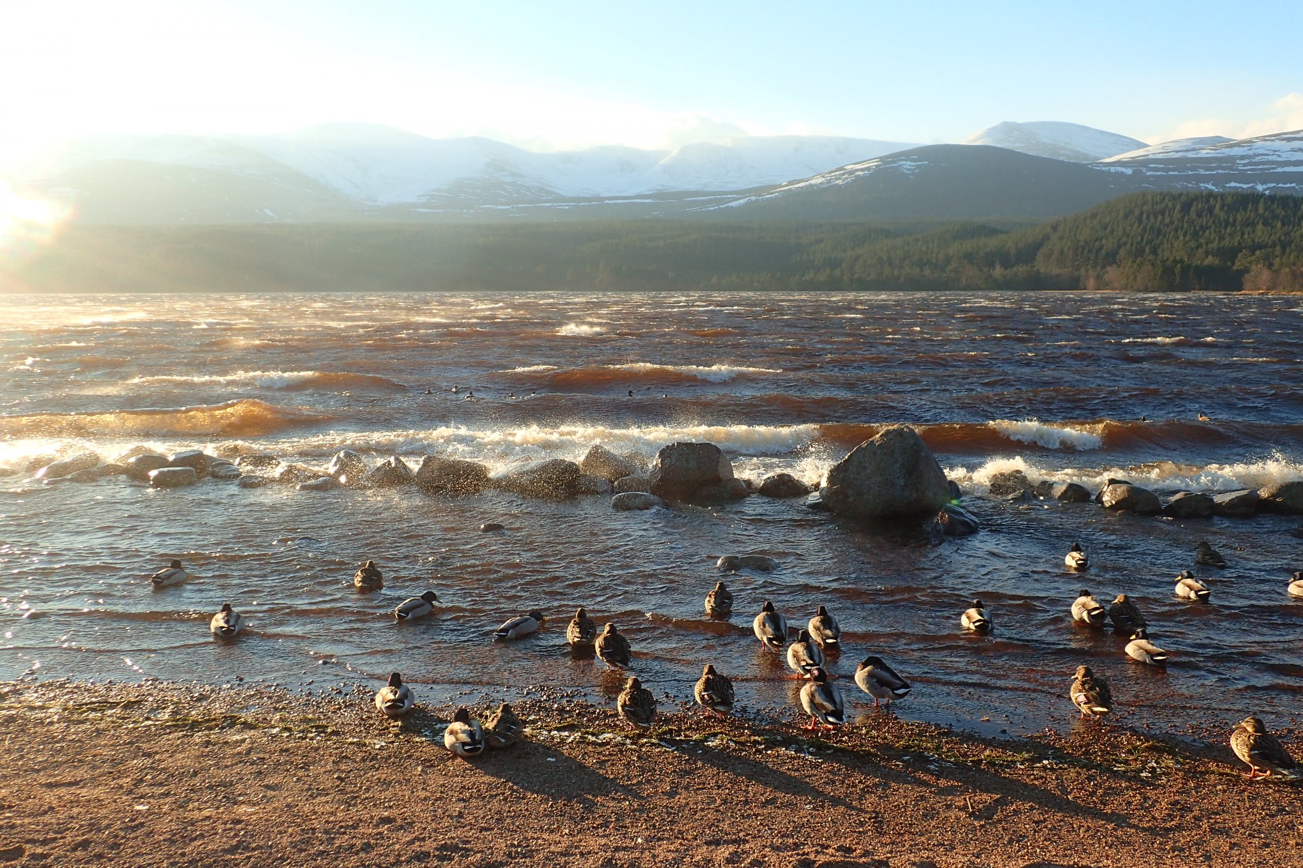
The view across Loch Morlich this morning. It was not going to be a calm day. Interesting duck behaviour with the majority weathering the conditions in the shelter while a small group just visible heading out on the open water. Probably tells you something about duck psychology, but that is definitely getting outwith my area of expertise!
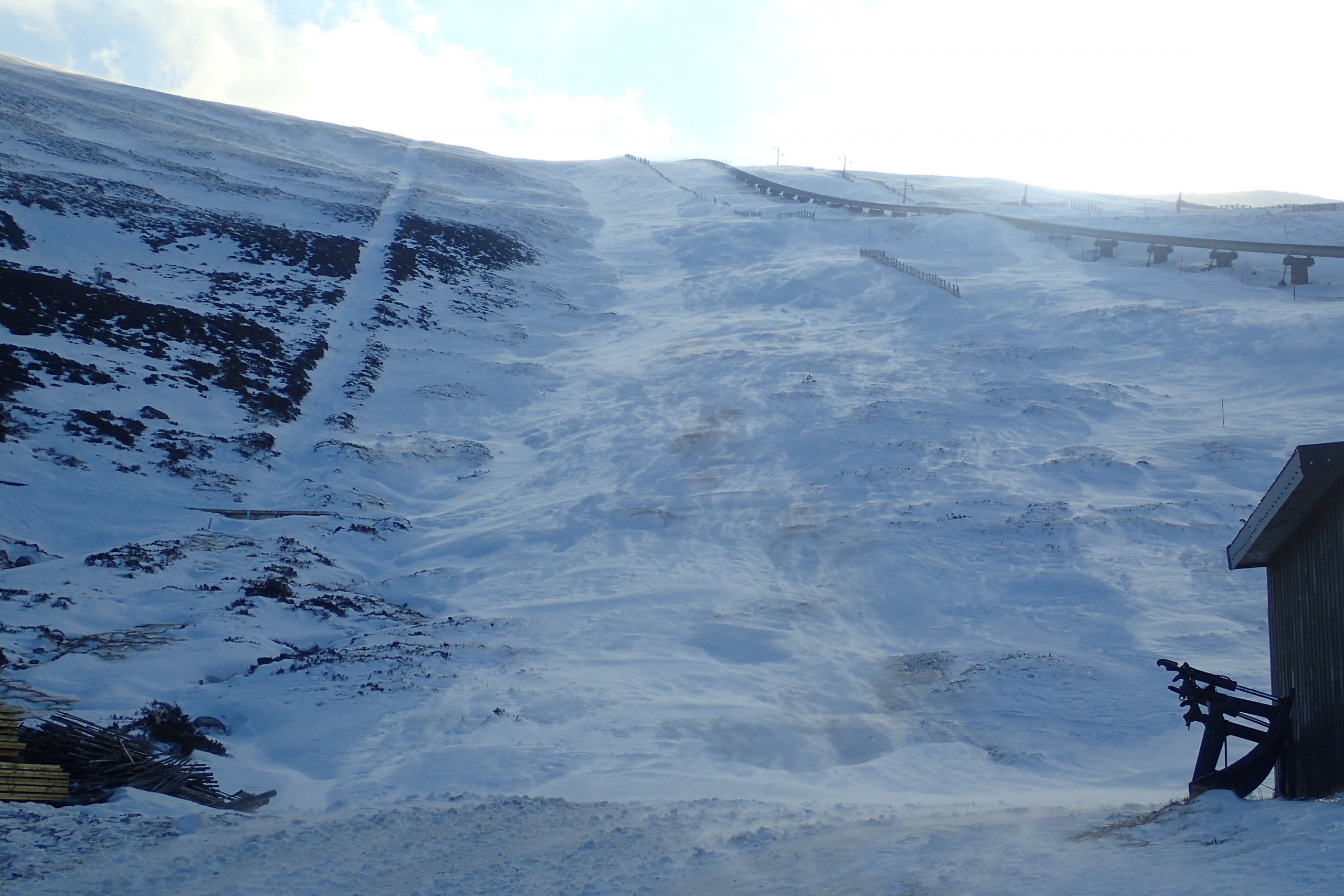
Streamers of blowing snow flowing down the White Lady ski run.Â

Higher up in the Cas. I think that photo summarises snowpack conditions at the moment. Mostly it is hard and icy, with a few areas of windslab such as that behind the snowfence in the centre, and blown snow snaking along the ground catching the sunlight.Â
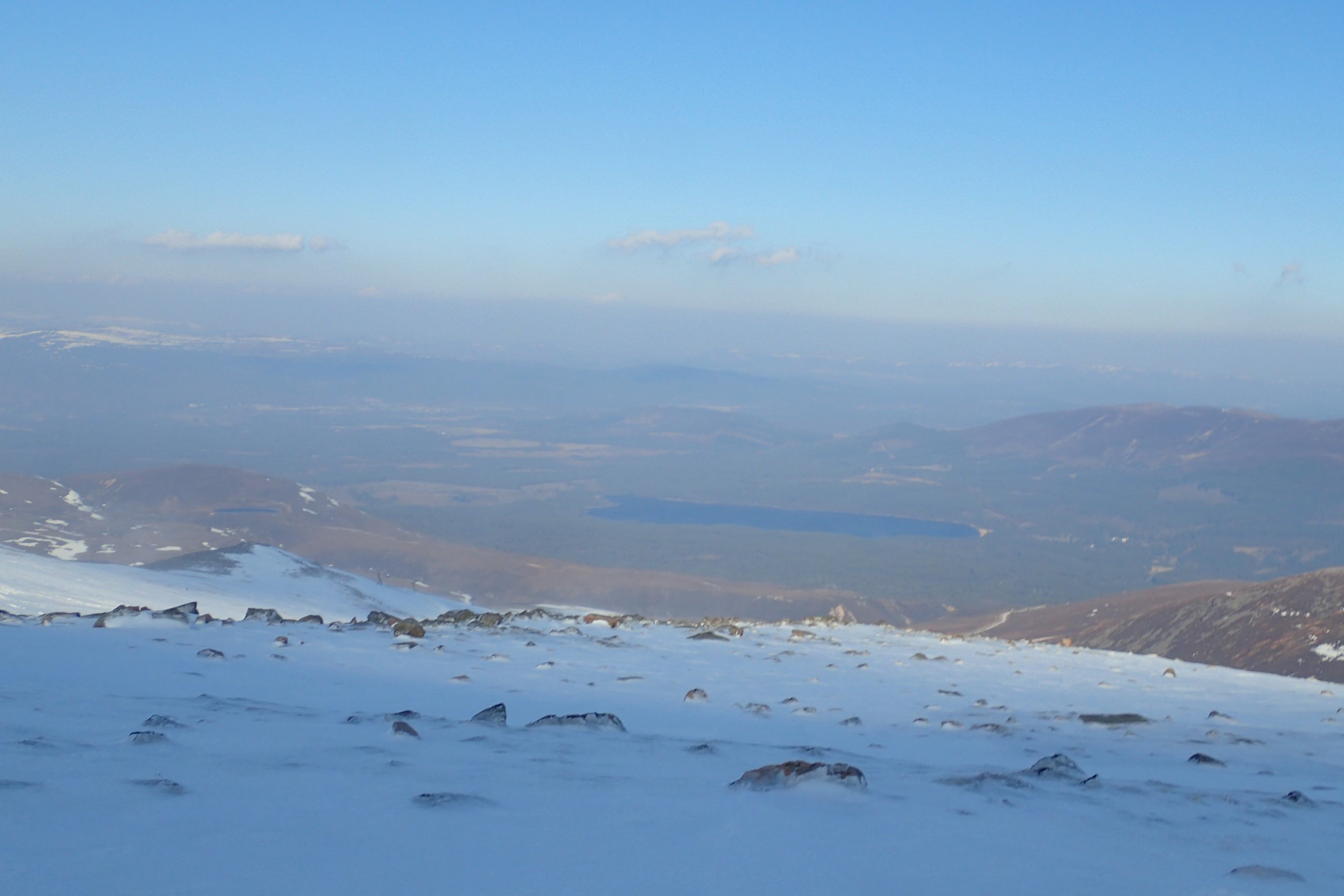
The view to the North. The atmosphere is a lot hazier today than it was yesterday. This is likely due to all the snow, dust and other microscopic debris in it picked up by the strong winds.Â

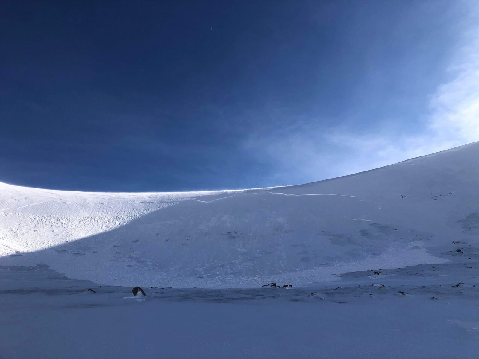
The view into Coire an t-Sneachda.
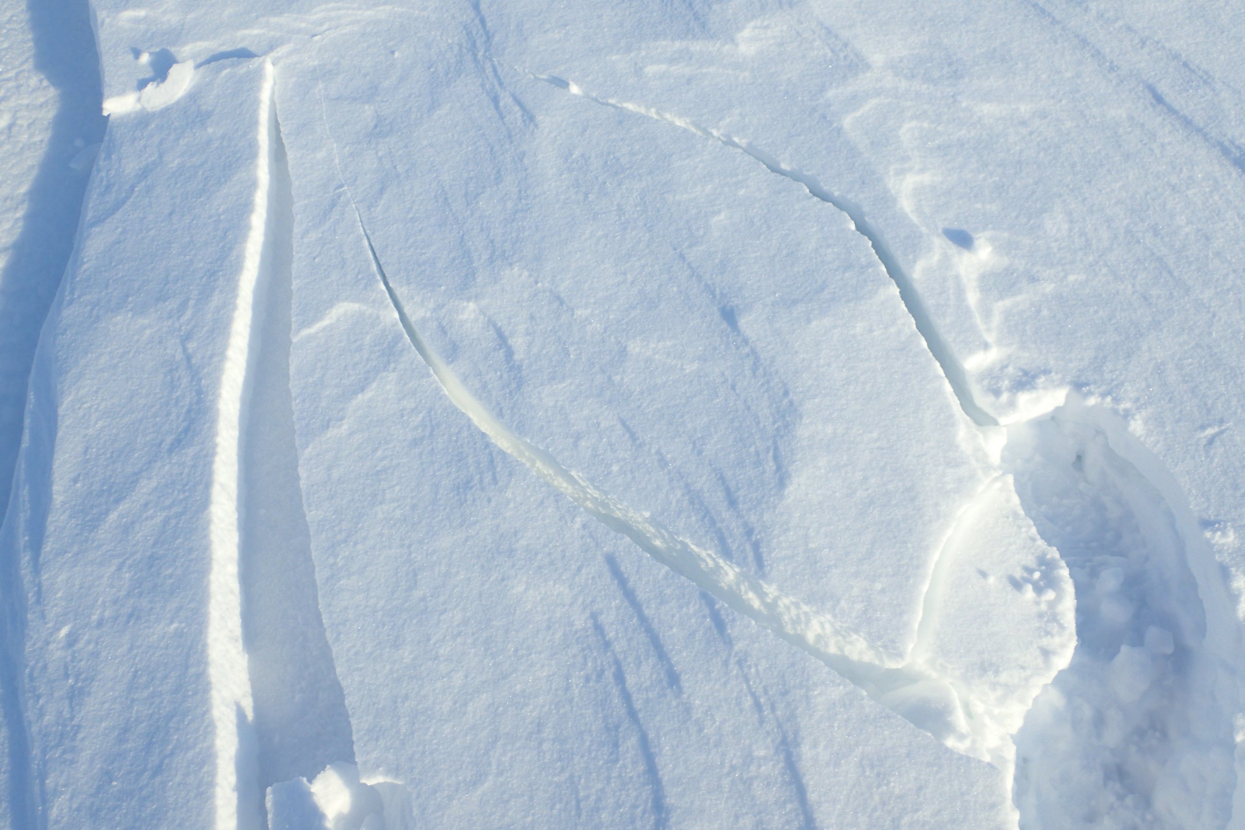
Cracking of windslab. There are some pockets of not very stable windslab remaining.Â
A good shot of yesterdays avalanche on the Cas headwall. I went up to this spot today, and it was hard to tell there has been an avalanche at all, the crown wall was drifted in and most the debris had been blown away/merged into the snowpack.Â
Comments on this post
Got something to say? Leave a comment


Angus Armstrong
9th March 2022 10:22 am
Hi great shot, learning opportunity. We were touring on Sat/Sun – and are the team in your shot on Sunday at the summit of Ben MacDui.
Any insight into what triggered this slide? Monday was still cold, the slope is not 30 deg (according to OutdoorActive mapping – I think some of it definitely is). The slope is N facing but the risk was only moderate.
There are those of us who would have considered skiing that slope or others like it.
ncairngormsadmin
9th March 2022 1:12 pm
Hello there, the Cas Head wall is a convex steep slope facing North. There was drifting snow on a Southerly wind which made the slope unstable and it was triggered by a snowboarder dropping in from the top. If you follow the link below it will take you to the forecast description for Monday when the avalanche occurred. On that page if you click on “VIEW THE AVALANCHE SCALE” it will help you to identify the meaning for each hazard. The scale is also used in relation to the size of the avalanche. Please note that there is still the possibility to be avalanched during a “Low Hazard” I hope this helps, safe travels.
https://www.sais.gov.uk/northern-cairngorms/
Angus Armstrong
10th March 2022 1:12 pm
Thanks for your reply. I got all that, what I had missed was the comment on Monday saying the snowboarder was the trigger. Good to know there was a reason.
A