Fluctuating Temperatures
20th December 2023
The last 24 hours has seen a rapid fluctuation of temperatures, and this pattern is set to continue. Cold conditions yesterday and overnight resulted in a superficial dusting of snow down to around 650 metres. The visibility remained poor, and it was a decidedly grey and dreich day as demonstrated by the paucity of today’s images.
Unfortunately, the freezing level quickly climbed to above the summits by midday rapidly thawing this fresh snow at lower elevations. Due to the colder conditions overnight there was some windslab development on sheltered North through East to South-East aspects above 1000 metres. Where this was overlying the older melt-freeze snow patches it was poorly bonded. These patches were however, isolated and avoidable.
The freezing level is anticipated to stay well above the summits overnight and any fresh accumulations will stabilise. By dawn the freezing level should fall further consolidating the snowpack, before fresh deposits of windslab are likely to be deposited as snow showers continue through the day. The avalanche hazard will remain Low.
The one consistent feature in this otherwise messy picture for the day ahead will be the wind. The mean wind on Cairn Gorm was 63 mph today, while the maximum gust recorded was 104 mph. Over the next 48 hours these winds are expected to continue, and possibly even increase slightly. A challenging few days are in prospect for those visiting the mountains ahead of the Christmas period.

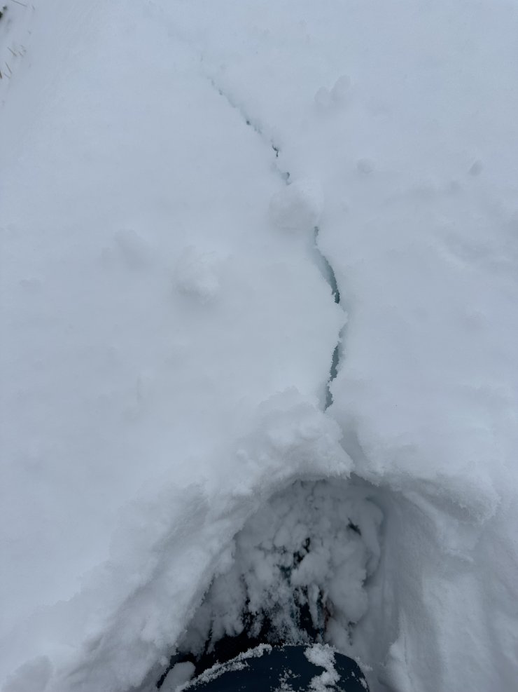
In contrast to the previous image this crack was observed at around 800 metres in an older snow patch which comprises of melt freeze grains. Here the snowpack is homogenous and was probably subject to creep (downhill movement) in mild temperatures.
Comments on this post
Got something to say? Leave a comment


