Incoming Storm
26th December 2023
The mountains have a thin layer of fresh unconsolidated snow on all aspects which will be redistributed as winds increase during the evening. In addition to this, a significant amount of fresh snow is forecasted during daylight hours on Storm force South-Easterly winds with snow down to 500 metres. In summary a very serious and challenging day lies ahead so check the detailed Forecast report for specific information.
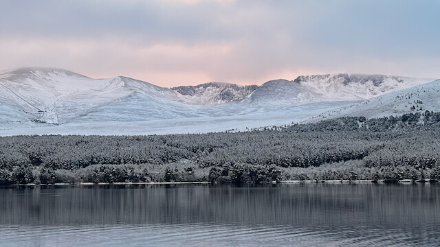
Early morning light on the Northern Corries with a fresh snow cover
Looking into the Northern Corries

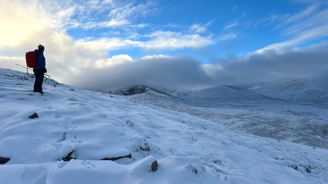
Drifting snow above Strath Nethy on Cairn Gorms North Ridge

Rime ice building on a stalk of grass – it builds toward the wind (in this case breeze blowing L to R) by supercooled vapour freezing on contact with a solid object – in this case producing delicate feathery features.
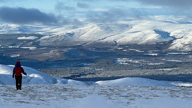
Descending from Cairn Gorm with Glenmore and Meall a’Bhuachaille range beyond
Comments on this post
Got something to say? Leave a comment


