Winter Returns (briefly!)
22nd December 2023
Fresh snow lying down to around 800m gave a suggestion that winter had returned today in the Northern Cairngorms. The high winds association with Storm Pia had also eased which gave the opportunity to travel higher on the mountain. Sadly, visibility was poor above 800m so photo opportunities were limited.
Above 900m the fresh snow was drifting and accumulating in wind sheltered locations on North through East to South aspects.
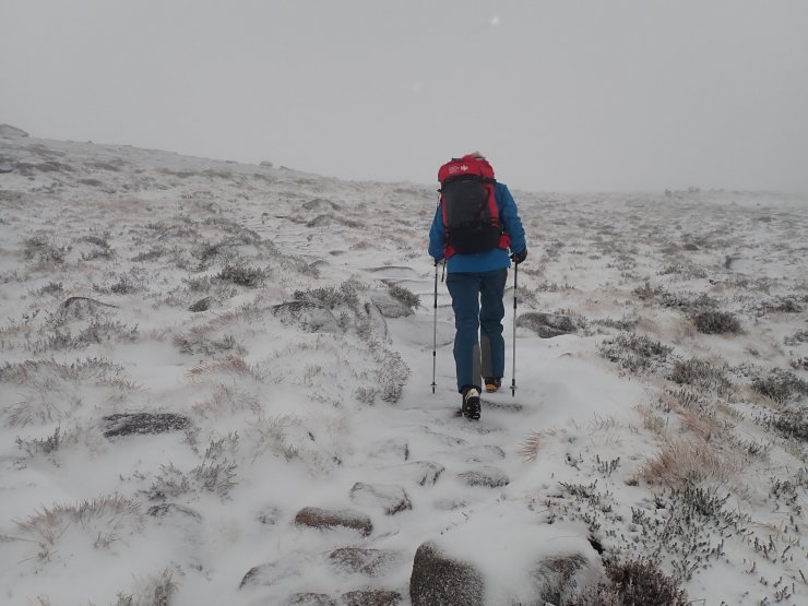
Photo below, heading into Coire Cas. Fresh snow lying above around 800m, mainly lying on bear ground.
The snow profile today was on the NE flank of Fiachaill a Coire Chais close to the SIMBA remote weather station. Cracking was evident within the fresh windslab. It’s expected that most of this fresh windslab will thaw tomorrow when the temperature rises above the summits.

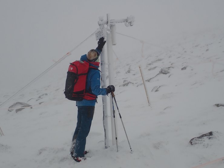
Photo below taken at 990m. This is the SIMBA remote weather station below the flank of Fiachaill a Coire Chais.
Comments on this post
Got something to say? Leave a comment