Wild and windy
31st January 2024
A wild and windy day in the mountains which seriously curtailed our ability to make observations today. A maximum gust of 108mph was recorded by the Cairn Gorm summit weather station. The temperature has fluctuated around zero at the summit of Cairn Gorm for much of the day before dropping abruptly towards the end of the forecast period.
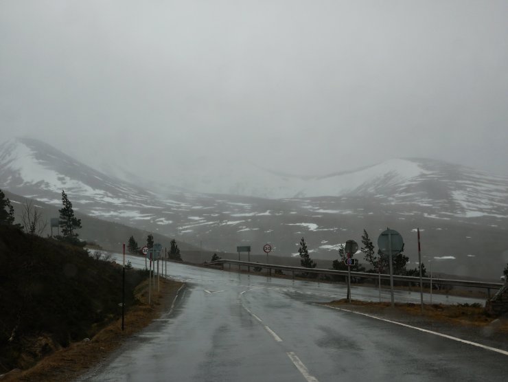
Wet snow fell on the summits and a trace was visible above 600 metres later. Some drift and windslab development is inevitable, and this will be moderately bonded in the colder temperatures, but most likely confined to North-East to South-East aspects above 850m.
The temperature has only climbed above the summits briefly, resulting in slow consolidation of the snowpack. Despite the firm surface the snow below remains heterogeneous with a low density layer above a crust. This appears to be a layer that a number of avalanches have run on in thaw conditions around the 24th January, such as the one in Coire an Lochain.
There have also been reports from groups of whoompf sounds or collapse in the snowpack on shallow slopes. There have been three of these including in the Ptarmigan Bowl, on the northern flank of Cairn Gorm and in the upper reaches of Garbh Uisage Beag on Ben MacDui.
It is likely in these cases that groups (high additional load) have triggered this weak layer where the snowpack is shallow, resulting in shear failure and propagation. As this happens air is expelled from the snowpack, and is often associated with a visceral feeling of impending doom.
The firm upper layers of the snowpack have effectively bridged these layers below, and combined with modest gradients avalanches have not occurred. Correspondingly the Avalanche Hazard is Low. But for anybody keen to understand the snow pack beneath their feet (or skis) the current situation presents an interesting insight into the complexity of the Scottish snowpack. Avalanches and the occasional relevant observation can be found on the SAIS Avalanche Map.
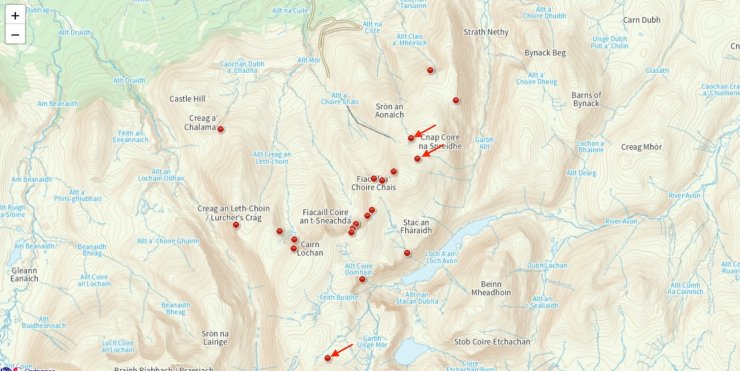
A screenshot of the SAIS Avalanche Map with observations of whoompf’s indicated by arrows. For the full map and comments associated with these observations head to https://www.sais.gov.uk/avalanche_map/
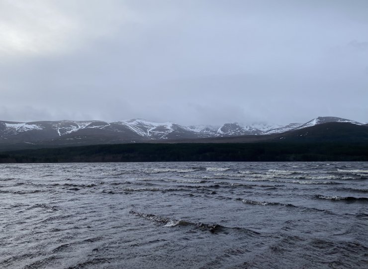
An obligatory shot of the Northern Cairngorms from Loch Morlich. This was about as clear as the higher slopes got today.
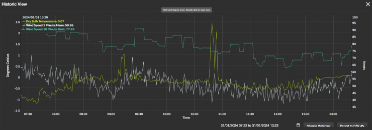
Met Office resilience data from Cairn Gorm summit. Note that the summit temperatures have fluctuated around zero degrees with the exception of a spike prior to 1100 GMT.
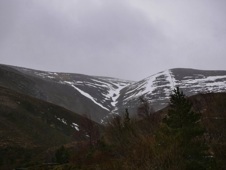
Ciste Gully – a slowly depleting snow pack at lower elevations.
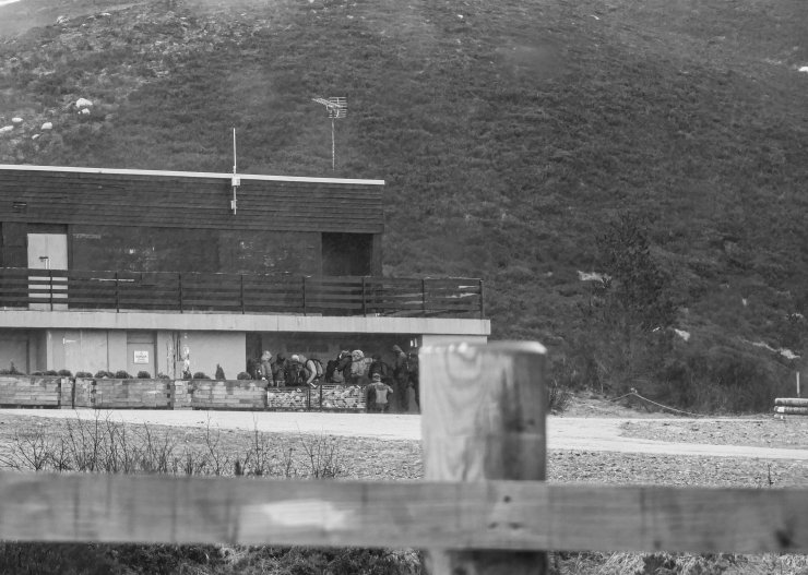
Dreich and Dickensian on the hill today. This group were seeking shelter in the Ciste car park. Hopefully they were able to break cover and find some snow at a lower altitude.
Although the snow cover is slowly depleting at lower elevations, high up in the coires good cover remains.
Comments on this post
Got something to say? Leave a comment