Surface hoar … ready to be redistributed
25th February 2024
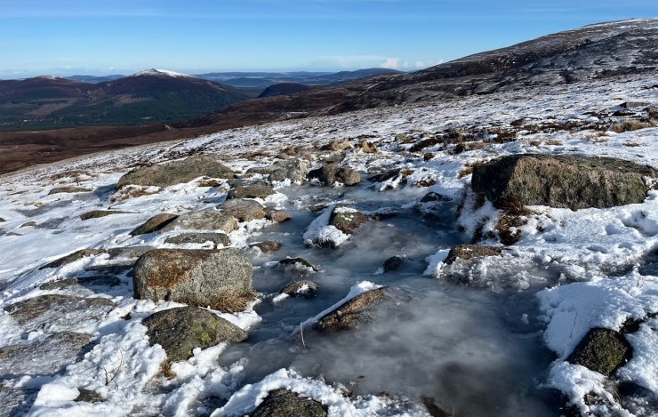
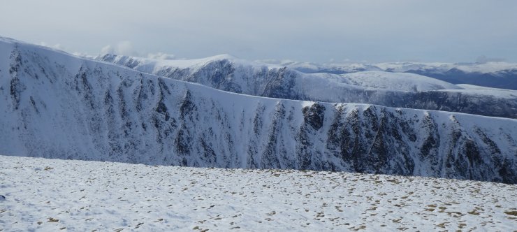
Last night was cold and clear which provided an ideal breeding ground for the surface hoar that was on display today. Today remained calm and clear which was a good opportunity to get photographs across the Western edge of our forecasting area, which seems to have caught a bit more snow this week than the Eastern hills.
The light and delicate layer of surface hoar that has formed will be easily redistributed in tomorrow’s Northerly winds. This combined with new snow fall, will lead to drifting on to East to Southerly aspects where fresh unstable windslab will build.

North facing Coire Ruadh and Coire an Lochain on Braeriach.
Icy paths were a theme again today and will continue to be icy tomorrow.
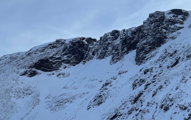
The crags of Coire an Lochain and The Great Slab, now with a thin covering of snow on it.

A significant layer of surface hoar has developed. Whilst this looks beautiful today, it is light and will be easily redistributed in tomorrow’s winds, creating a weak layer within the new unstable windslab. There is also a halo around the sun.
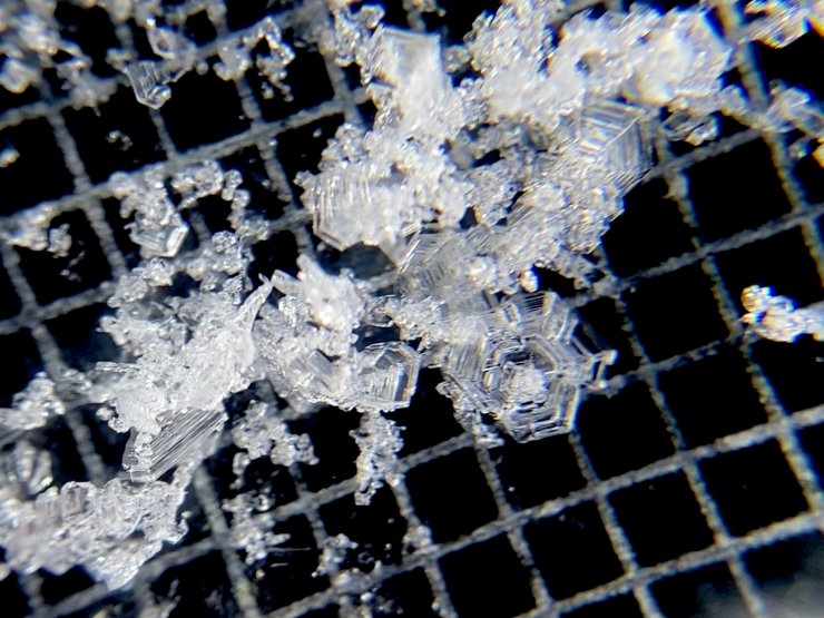
Surface hoar and cup crystals viewed through the lens.
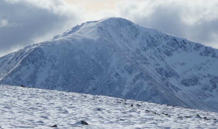
Cairn Toul 1291m.
Looking across Sròn na Lairig to the Glen Feshie hills of Sgòran Dubh Beag and Sgòran Dubh Mor.
Comments on this post
Got something to say? Leave a comment


Margaret Worton
26th February 2024 4:53 pm
Love these posts about the cairngorms, my favourite place, as we live in the Midlands don’t get up there often. So lovely to see photos and hear news.
Jamie P
27th February 2024 10:36 am
Thanks for the thought provoking post!
I always thought that if it got windy, surface hoar is mostly destroyed (except where it’s sheltered); because wind will break it up into tiny pieces that are much less of an issue?
Are the small broken pieces of surface hoar crystals interspersed with windblown snow a concern because the broken surface hoar is not bonding well with the windblown snow, giving this whole layer (comprised of both surface and windblown snow) low strength? Other than it having a weak interface with the snow beneath, I would have thought that (once mixed with windblown snow) this only becomes a potential weak layer once new snow falls on top of this?
Or is the wind likely to preferentially sort broken down surface crystals above or below windblown snow?
Thanks again and interested to hear your thoughts 🙂
ncairngormsadmin
27th February 2024 5:34 pm
Hi Jamie, Thanks. Yes in many cases the surface hoar is destroyed by the wind, but might hang around in really sheltered spots giving patchy instability later if it is buried by fresh snow. Sometimes it is broken up and deposited with windblown snow i.e. weak layer and/or windslab. One example of this is when the windspeed steadily increases. Light winds destroy and transport the fragments and then the windspeed increases creating firmer cohesive windslab on top. The result is a soft low density layer with more snow above…